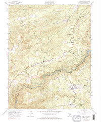
1948 Map of West Point
USGS Topo · Published 1976About this map
The North Fork Mokelumne River and its deep river canyons carve through the boundary of Amador and Calaveras counties, defining a landscape of industrial water management and gold-era mining. This 1948 survey reveals a network of engineered waterways, including the Volcano Ditch, Ashland Ditch, and Lower Standard Canal, which once powered the region's hydraulic needs. Settlements like West Point and Bummerville serve as hubs in the southeastern corner, while the West Point Power House stands as a focal point of utility development near the river junction.
Find a feature on this map
37 named features on this map. Tap any name to fly to it.
Don’t see what you’re looking for? This feature index may not catch every label — zoom into the map to look around manually.
Map Details
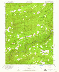
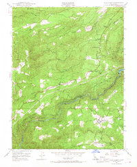
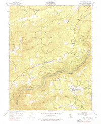
Editions of this 1948 West Point Map
4 editions found
Other maps of this area

1889 · Jackson
USGS Topo · 1:125,000

1889 · Pyramid Peak
USGS Topo · 1:125,000

1891 · Big Trees
USGS Topo · 1:125,000

1891 · Placerville
USGS Topo · 1:125,000

1891 · Pyramid Peak
USGS Topo · 1:125,000

1892 · Jackson
USGS Topo · 1:125,000

1892 · Placerville
USGS Topo · 1:125,000

1893 · Placerville
USGS Topo · 1:125,000

1894 · Big Trees
USGS Topo · 1:125,000

1895 · Pyramid Peak
USGS Topo · 1:125,000