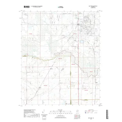
2018 Map of West Point
USGS Topo · Published 2018About this map
West Point serves as the focal point of this 2018 survey, where the dense street grid of the city meets the winding waterways of the Mississippi prairie. The map documents the convergence of several major creeks, including Chiquatonchee Creek and Line Creek, which join to form Tibbee Creek as it flows toward the east. These drainage patterns define the rural landscape surrounding the town, influencing the placement of early settlements like Lyons Bluff and Muldrow.
Find a feature on this map
129 named features on this map. Tap any name to fly to it.
Don’t see what you’re looking for? This feature index may not catch every label — zoom into the map to look around manually.
Map Details
Editions of this 2018 West Point Map
This is the sole edition of this map. No revisions or reprints were ever made.
Other maps of this area

1953 · West Point
USGS Topo · 1:250,000

1958 · West Point
USGS Topo · 1:250,000

1959 · Artesia
USGS Topo · 1:62,500

1959 · West Point
USGS Topo · 1:62,500

1959 · Pheba
USGS Topo · 1:62,500

1963 · West Point
USGS Topo · 1:250,000

1965 · Starkville
USGS Topo · 1:24,000

1982 · West Point
USGS Topo · 1:100,000

1984 · West Point
USGS Topo · 1:250,000
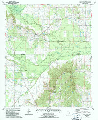
1987 · Cedar Bluff
USGS Topo · 1:24,000