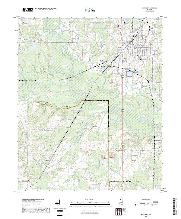
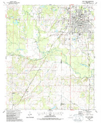
2024 Map of West Point
USGS Topo · Published 2024About this map
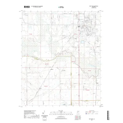
West Point serves as the focal point of this region, situated where the Town Creek and Chuguatonchee Creek drainages meet. The town's grid is anchored by the Clay County Courthouse and Clay County Justice Court, while the surrounding landscape transitions into the distinct topography of Lyons Bluff and the lowlands of Tibbee Creek. This area preserves several significant historical markers, including the Mayhew Mission Cem and McPherson Cem, which point to early settlement patterns near the prairie's edge.
Find a feature on this map
106 named features on this map. Tap any name to fly to it.
Don’t see what you’re looking for? This feature index may not catch every label — zoom into the map to look around manually.
Map Details
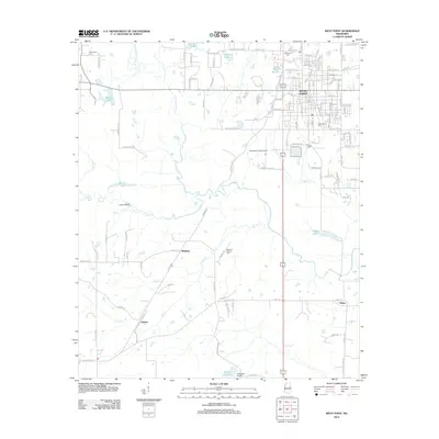
Editions of this 2024 West Point Map
This is the sole edition of this map. No revisions or reprints were ever made.
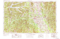
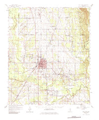
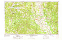
Historical Maps of West Point Through Time
12 maps found
1953 West Point
Clay County, MS

1958 West Point
Clay County, MS
1959 West Point
Clay County, MS
1963 West Point
Clay County, MS

1982 West Point
Clay County, MS

1984 West Point
Clay County, MS
1987 West Point
Clay County, MS
2012 West Point
Clay County, MS
2015 West Point
Clay County, MS
2018 West Point
Clay County, MS
2020 West Point
Clay County, MS
2024 West Point
Clay County, MS