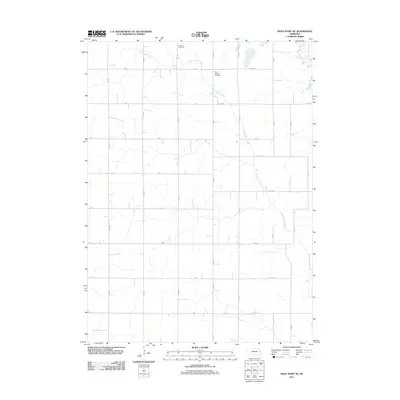
2011 Map of West Point NE
USGS Topo · Published 2011About this map
Little Logan Creek defines the drainage of this rural landscape in Burt County, appearing here as it was surveyed in the early 21st century. The map reveals the intricate grid of county roads, such as Co Road V and 24th Rd, which segment the agricultural terrain. Of particular interest to genealogists are two local burial sites: Bancroft Cemetery and Saint Josephs Cemetery, both situated in the northern reaches of the quadrangle. The presence of the Old Channel Logan Creek in the northeast corner highlights the shifting nature of the local waterways over time, preserving a record of the former stream path within the modern section lines.
Find a feature on this map
30 named features on this map. Tap any name to fly to it.
Don’t see what you’re looking for? This feature index may not catch every label — zoom into the map to look around manually.
Map Details
Editions of this 2011 West Point NE Map
This is the sole edition of this map. No revisions or reprints were ever made.
Other maps of this area

1955 · Sioux City
USGS Topo · 1:250,000

1955 · Fremont
USGS Topo · 1:250,000

1957 · Fremont
USGS Topo · 1:250,000

1958 · Sioux City
USGS Topo · 1:250,000

1958 · Fremont
USGS Topo · 1:250,000

1959 · Sioux City
USGS Topo · 1:250,000

1966 · Oakland
USGS Topo · 1:24,000

1966 · West Point NW
USGS Topo · 1:24,000

1966 · West Point SE
USGS Topo · 1:24,000

1966 · Lyons
USGS Topo · 1:24,000