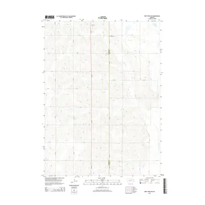
2014 Map of West Point NE
USGS Topo · Published 2014About this map
The agricultural landscape along the boundary of Cuming Co Burt Co is defined by a grid of rural routes and the meandering path of Little Logan Cr. This 2014 survey captures the region's long-standing reliance on its waterway systems, notably featuring the Old Channel Logan Creek which indicates historical shifts in the local hydrology. For those researching family history in this part of Nebraska, the map identifies two significant landmarks: Bancroft Cem in the northwest and Saint Josephs Cem situated further east. The regularity of the section-line roads, including 24th Rd and Co Rd St, underscores the enduring land division patterns that have supported generations of farming in this corner of Burt County.
Find a feature on this map
26 named features on this map. Tap any name to fly to it.
Don’t see what you’re looking for? This feature index may not catch every label — zoom into the map to look around manually.
Map Details
Editions of this 2014 West Point NE Map
This is the sole edition of this map. No revisions or reprints were ever made.
Other maps of this area

1955 · Sioux City
USGS Topo · 1:250,000

1955 · Fremont
USGS Topo · 1:250,000

1957 · Fremont
USGS Topo · 1:250,000

1958 · Sioux City
USGS Topo · 1:250,000

1958 · Fremont
USGS Topo · 1:250,000

1959 · Sioux City
USGS Topo · 1:250,000

1966 · Oakland
USGS Topo · 1:24,000

1966 · West Point NW
USGS Topo · 1:24,000

1966 · West Point SE
USGS Topo · 1:24,000

1966 · Lyons
USGS Topo · 1:24,000