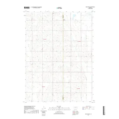
2017 Map of West Point NE
USGS Topo · Published 2017About this map
The rolling agricultural landscape of northeast Nebraska is defined by the winding course of Little Logan Cr and the stagnant waters of Old Channel Logan Creek. This section of the plains straddles the boundary between Cuming Co and Burt Co, revealing a tightly knit network of section roads such as 24th Rd and R Rd that partition the land into productive farmsteads. Local history is anchored by the presence of Saint Josephs Cem and Bancroft Cem, which serve as quiet landmarks for generations of area families. The map illustrates a rural environment where the hydrology of the creek system dictates the placement of roads and property lines, preserving a traditional Midwestern township structure in the early 21st century.
Find a feature on this map
32 named features on this map. Tap any name to fly to it.
Don’t see what you’re looking for? This feature index may not catch every label — zoom into the map to look around manually.
Map Details
Editions of this 2017 West Point NE Map
This is the sole edition of this map. No revisions or reprints were ever made.
Other maps of this area

1955 · Sioux City
USGS Topo · 1:250,000

1955 · Fremont
USGS Topo · 1:250,000

1957 · Fremont
USGS Topo · 1:250,000

1958 · Sioux City
USGS Topo · 1:250,000

1958 · Fremont
USGS Topo · 1:250,000

1959 · Sioux City
USGS Topo · 1:250,000

1966 · Oakland
USGS Topo · 1:24,000

1966 · West Point NW
USGS Topo · 1:24,000

1966 · West Point SE
USGS Topo · 1:24,000

1966 · Lyons
USGS Topo · 1:24,000