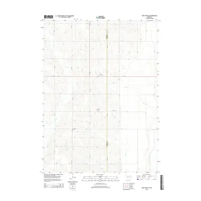
2014 Map of West Point SE
USGS Topo · Published 2014About this map
Pioneer Cem and Blomgren Cem sit among the rolling agricultural landscape of eastern Nebraska, marking the heritage of early families in this rural section of the plains. The terrain is defined by a dense network of watercourses, including the central Cuming Cr and the eastern flow of the Logan Creek Dredge. This 2014 survey illustrates the long-standing section-line road system that organizes the region, with routes like Ne-32 and 24th Rd cutting across the drainage basins of Peterson Cr and Romberg Cr. The distribution of local landmarks such as Salem Cem and Peterson Cem reflects a decentralized settlement pattern where community life was historically anchored by rural churches and family burying grounds near the banks of Dry Cr and Willow Cr.
Find a feature on this map
36 named features on this map. Tap any name to fly to it.
Don’t see what you’re looking for? This feature index may not catch every label — zoom into the map to look around manually.
Map Details
Editions of this 2014 West Point SE Map
This is the sole edition of this map. No revisions or reprints were ever made.
Other maps of this area

1955 · Fremont
USGS Topo · 1:250,000

1957 · Fremont
USGS Topo · 1:250,000

1958 · Fremont
USGS Topo · 1:250,000

1966 · Oakland
USGS Topo · 1:24,000

1966 · West Point NW
USGS Topo · 1:24,000

1966 · West Point SE
USGS Topo · 1:24,000

1966 · Uehling
USGS Topo · 1:24,000

1966 · Lyons
USGS Topo · 1:24,000

1966 · West Point NE
USGS Topo · 1:24,000

1966 · Scribner
USGS Topo · 1:24,000