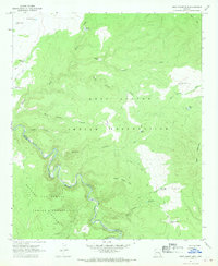
1967 Map of West Poker Mtn.
USGS Topo · Published 1970About this map
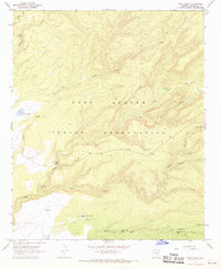
The Black River carves a deep, winding boundary between the Fort Apache Indian Reservation and the San Carlos Indian Reservation in this 1967 field-checked survey. This high-country landscape is defined by the massive Natanes Plateau and high peaks like West Poker Mtn and Poker Mountain. The topographic detail reveals a network of land management features essential for ranching and travel in this arid terrain, including numerous named water sources such as Hoot Owl Tank, Johnson Corral Tank, and Willow Tank. Landforms with evocative names like Hells Hole, Lost Basin, and Burnt Corral suggest a history of livestock movement and local orientation. A system of a Jeep Trail and smaller trails provide the only access through the canyons, including Poker Canyon, Mule Corral Canyon, and Mormon Canyon, tracing the remote topography at the junction of Apache and Graham counties.
Find a feature on this map
31 named features on this map. Tap any name to fly to it.
Don’t see what you’re looking for? This feature index may not catch every label — zoom into the map to look around manually.
Map Details
Editions of this 1967 West Poker Mtn. Map
This is the sole edition of this map. No revisions or reprints were ever made.
Other maps of this area

1954 · Clifton
USGS Topo · 1:250,000

1957 · Clifton
USGS Topo · 1:250,000

1958 · Clifton
USGS Topo · 1:250,000

1962 · Clifton
USGS Topo · 1:250,000
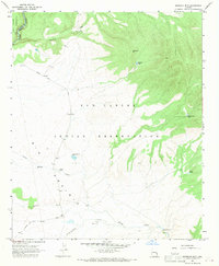
1967 · Sawbuck Mtn.
USGS Topo · 1:24,000
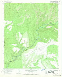
1967 · Maverick SW
USGS Topo · 1:24,000

1967 · Odart Mtn
USGS Topo · 1:24,000
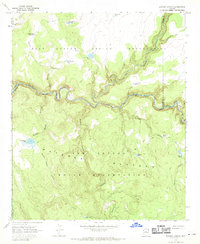
1967 · Elwood Canyon
USGS Topo · 1:24,000
1967 · Corn Creek
USGS Topo · 1:24,000
1967 · Natanes Mts NW
USGS Topo · 1:24,000