Loading...
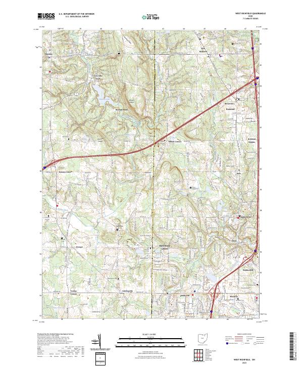
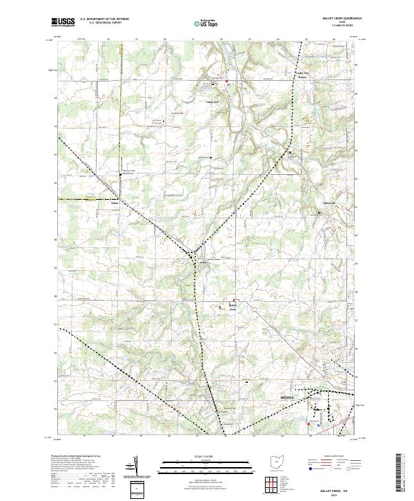
Loading map...2023 Map of West Richfield
USGS Topo · Published 2023About this map
Cuyahoga Valley National Park borders the eastern edge of this region, where the terrain shifts from the wooded ravines of the East Branch Rocky River to the residential growth around Richfield. The landscape is defined by its numerous small lakes and glacial formations, including the distinctive Whipps Ledges, Wordens Ledges, and the high point at Buzzard Roost. These sandstone outcrops provide a sharp contrast to the surrounding basins of Hinckley Lake and Judges Lake.
Find a feature on this map
121 named features on this map. Tap any name to fly to it.
Don’t see what you’re looking for? This feature index may not catch every label — zoom into the map to look around manually.
Map Details
Date Portrayed2023
Date Published2023
PublisherU.S. Geological Survey
Map TypeTopographic
Scale1:24000
Physical Dimensions24 x 29 inches
Editions of this 2023 West Richfield Map
This is the sole edition of this map. No revisions or reprints were ever made.
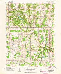
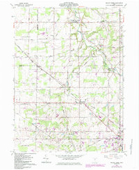
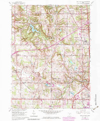
Historical Maps of Hinckley Township Through Time
7 maps found
Featured Locations
- Bath Township, OH
- Richfield, OH
- Fairlawn, OH
- Echo Lake Glen, Hinckley Township
- Hinckley, Hinckley Township
Source Details
SourceU.S. Geological Survey
CopyrightPublic Domain