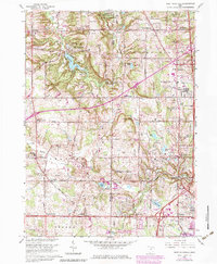
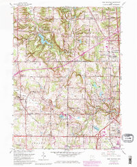
1963 Map of West Richfield
USGS Topo · Published 1980About this map
The Hinckley Reservation and the sprawling Cleveland Ordnance Plant define the landscape of northeastern Ohio in this early 1960s study, which includes later aerial revisions from the late 1970s. The terrain transitions from the recreational waters of Hinckley Lake and Echo Lake Glen to the industrial and military presence near the Summit County line. Local history is deeply etched into the landscape through small crossroads such as Osborn Corners and Ghent, alongside numerous family-named landmarks like Beach Cem and Ganyard Cem. The era's development is evident in the appearing suburban infrastructure, including the Highland High Sch and a Drive-in Theater near Montrose. This map captures a moment when traditional agrarian patterns, indicated by landmarks like Morris Chapel Cem, began to meet the expanding residential footprints of West Richfield and Richfield Heights.
Find a feature on this map
72 named features on this map. Tap any name to fly to it.
Don’t see what you’re looking for? This feature index may not catch every label — zoom into the map to look around manually.
Map Details
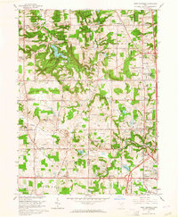
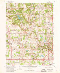
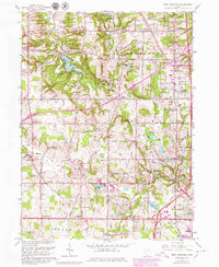
Editions of this 1963 West Richfield Map
5 editions found
Other maps of this area

1902 · Berea
USGS Topo · 1:62,500

1903 · Cleveland
USGS Topo · 1:62,500

1903 · Akron
USGS Topo · 1:62,500

1904 · Berea
USGS Topo · 1:62,500

1904 · Medina
USGS Topo · 1:62,500

1905 · Akron
USGS Topo · 1:62,500

1906 · Medina
USGS Topo · 1:62,500

1950 · Cleveland
USGS Topo · 1:250,000

1953 · Broadview Heights
USGS Topo · 1:24,000

1953 · Berea
USGS Topo · 1:24,000