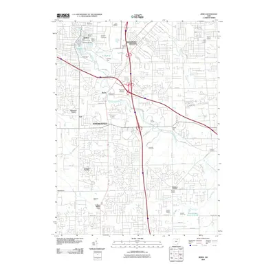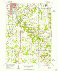
1953 Map of Berea
USGS Topo · Published 1955About this map
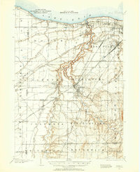
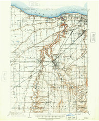
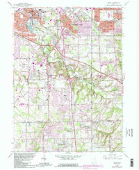
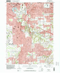
The Baltimore and Ohio Railroad corridor anchors this mid-century portrait of southwestern Greater Cleveland, where suburban expansion begins to press against established college towns and rural boundaries. Berea stands as a primary hub, centered on the campus of Baldwin-Wallace College and the surrounding institutions like Loomis Sch and St Adalbert Sch. The map records a landscape in transition, where the wooded depths of the Rocky River Reservation and the waters of Wallace Lake provide a natural buffer to the growing residential footprints of Middleburg Heights and Parma Heights. To the east, the massive complex of Crile General Hospital occupies a significant tract near Parma. Further south, the terrain becomes more dissected by waterways like Healey Creek as it crosses the Cuyahoga Co Medina Co line into Brunswick and Hinckley.
Find a feature on this map
58 named features on this map. Tap any name to fly to it.
Don’t see what you’re looking for? This feature index may not catch every label — zoom into the map to look around manually.
Map Details
Editions of this 1953 Berea Map
This is the sole edition of this map. No revisions or reprints were ever made.
Historical Maps of Parma Through Time
10 maps found