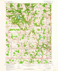
1963 Map of West Richfield
USGS Topo · Published 1964About this map
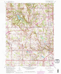
Hinckley Reservation dominates the western landscape of this early 1960s survey, surrounding the waters of Hinckley Lake and the prominent heights of Hinckley Ridge. The terrain is marked by a transition from the wooded slopes of Buzzard Roost to the expanding residential and industrial corridors along the Medina and Summit County line. The northern border contains the Cleveland Ordnance Plant, a significant military installation of the era. Settlement patterns are focused around historic crossroads like West Richfield, Ghent, and Bath, while the southern reaches near Montrose show the early stages of commercial growth, including a Drive-in Theater. Numerous family and community burial grounds, such as Beach Cem and Gaoyard Cem, provide valuable landmarks for genealogical research across this part of the Western Reserve.
Find a feature on this map
73 named features on this map. Tap any name to fly to it.
Don’t see what you’re looking for? This feature index may not catch every label — zoom into the map to look around manually.
Map Details
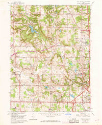
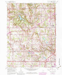
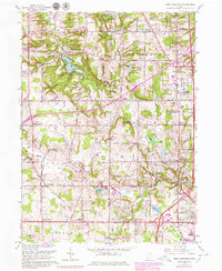
Editions of this 1963 West Richfield Map
5 editions found
Other maps of this area

1902 · Berea
USGS Topo · 1:62,500

1903 · Cleveland
USGS Topo · 1:62,500

1903 · Akron
USGS Topo · 1:62,500

1904 · Berea
USGS Topo · 1:62,500

1904 · Medina
USGS Topo · 1:62,500

1905 · Akron
USGS Topo · 1:62,500

1906 · Medina
USGS Topo · 1:62,500

1950 · Cleveland
USGS Topo · 1:250,000

1953 · Broadview Heights
USGS Topo · 1:24,000

1953 · Berea
USGS Topo · 1:24,000