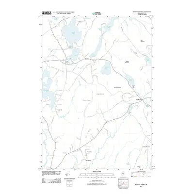
2011 Map of West Rockport
USGS Topo · Published 2011About this map
West Rockport and the surrounding villages of South Hope and East Union anchor this modern topographical study of Knox County. The landscape is defined by its complex hydrology, where Quiggle Brook and the Oyster River connect a series of significant water bodies including Alford Lake, Lermond Pond, and Grassy Pond. The importance of water management and local milling is evident through the presence of Alford Lake Dam, Fish Pond Dam, and the historic site of Wattons Mill.
Find a feature on this map
110 named features on this map. Tap any name to fly to it.
Don’t see what you’re looking for? This feature index may not catch every label — zoom into the map to look around manually.
Map Details
Editions of this 2011 West Rockport Map
This is the sole edition of this map. No revisions or reprints were ever made.
Other maps of this area

1904 · Rockland
USGS Topo · 1:62,500

1906 · Rockland
USGS Topo · 1:62,500

1913 · Waldoboro
USGS Topo · 1:48,000

1915 · Waldoboro
USGS Topo · 1:62,500

1915 · Belfast
USGS Topo · 1:62,500

1916 · Liberty
USGS Topo · 1:62,500

1917 · Belfast
USGS Topo · 1:62,500

1941 · Belfast
USGS Topo · 1:62,500

1941 · Rockland
USGS Topo · 1:62,500

1941 · Waldoboro
USGS Topo · 1:62,500