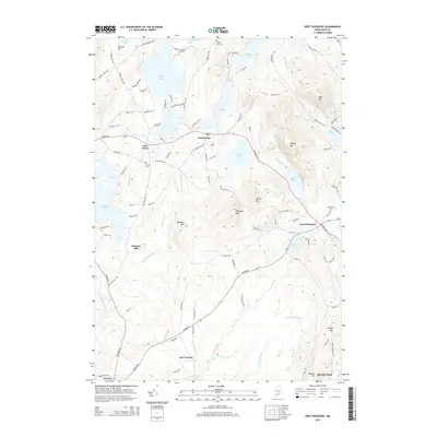
2014 Map of West Rockport
USGS Topo · Published 2014About this map
Wattons Mill and several historic burying grounds anchor this mid-coast Maine landscape, revealing the deep-rooted settlement patterns of Knox County. The terrain is defined by a series of prominent elevations, including Ragged Mtn and Spruce Mtn, which frame the agricultural and residential pockets of South Hope and West Rockport. These communities are connected by a network of local roads like Camden Rd and Heald Hwy, which navigate the space between large water bodies such as Alford Lake and Crawford Pond.
Find a feature on this map
112 named features on this map. Tap any name to fly to it.
Don’t see what you’re looking for? This feature index may not catch every label — zoom into the map to look around manually.
Map Details
Editions of this 2014 West Rockport Map
This is the sole edition of this map. No revisions or reprints were ever made.
Other maps of this area

1904 · Rockland
USGS Topo · 1:62,500

1906 · Rockland
USGS Topo · 1:62,500

1913 · Waldoboro
USGS Topo · 1:48,000

1915 · Waldoboro
USGS Topo · 1:62,500

1915 · Belfast
USGS Topo · 1:62,500

1916 · Liberty
USGS Topo · 1:62,500

1917 · Belfast
USGS Topo · 1:62,500

1941 · Belfast
USGS Topo · 1:62,500

1941 · Rockland
USGS Topo · 1:62,500

1941 · Waldoboro
USGS Topo · 1:62,500