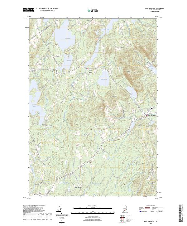
2024 Map of West Rockport
USGS Topo · Published 2024About this map
West Rockport and the surrounding Knox County hills anchor this contemporary survey of the Midcoast region. The landscape is defined by its numerous water bodies, from the expansive Alford Lake and Crawford Pond in the west to the higher-elevation Mirror Lake tucked beneath the slopes of Ragged Mtn. The hydrological network is complex, featuring the Saint George River and the three distinct branches of the Oyster River, including the East-Branch Oyster River and West-Branch Oyster River.
Find a feature on this map
112 named features on this map. Tap any name to fly to it.
Don’t see what you’re looking for? This feature index may not catch every label — zoom into the map to look around manually.
Map Details
Editions of this 2024 West Rockport Map
This is the sole edition of this map. No revisions or reprints were ever made.
Other maps of this area

1904 · Rockland
USGS Topo · 1:62,500

1906 · Rockland
USGS Topo · 1:62,500

1913 · Waldoboro
USGS Topo · 1:48,000

1915 · Waldoboro
USGS Topo · 1:62,500

1915 · Belfast
USGS Topo · 1:62,500

1916 · Liberty
USGS Topo · 1:62,500

1917 · Belfast
USGS Topo · 1:62,500

1941 · Belfast
USGS Topo · 1:62,500

1941 · Rockland
USGS Topo · 1:62,500

1941 · Waldoboro
USGS Topo · 1:62,500