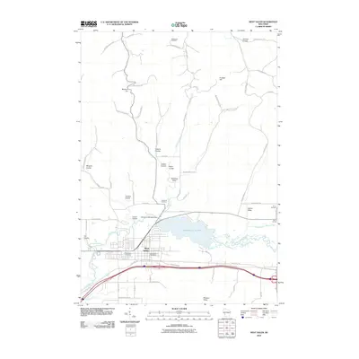
2010 Map of West Salem
USGS Topo · Published 2010About this map
West Salem serves as the primary hub of this landscape, situated at the confluence of the La Crosse River and Neshonoc Creek. The area is defined by its numerous coulees, including Bergum Coulee and Eggens Coulee, which highlight the distinct topography of the region. A significant landmark is the Neshonoc 2WP44239 Dam, which impounds the waters of the Neshonoc Lake 390, a central feature for the surrounding communities.
Find a feature on this map
62 named features on this map. Tap any name to fly to it.
Don’t see what you’re looking for? This feature index may not catch every label — zoom into the map to look around manually.
Map Details
Editions of this 2010 West Salem Map
This is the sole edition of this map. No revisions or reprints were ever made.
Other maps of this area

1909 · Sparta
USGS Topo · 1:62,500

1926 · North Bend
USGS Topo · 1:62,500

1927 · La Crosse
USGS Topo · 1:62,500

1928 · Melrose
USGS Topo · 1:48,000

1929 · North Bend
USGS Topo · 1:62,500

1930 · La Crosse
USGS Topo · 1:62,500

1947 · Sparta
USGS Topo · 1:62,500

1949 · Sparta
USGS Topo · 1:62,500

1949 · Melrose
USGS Topo · 1:62,500

1953 · Eau Claire
USGS Topo · 1:250,000