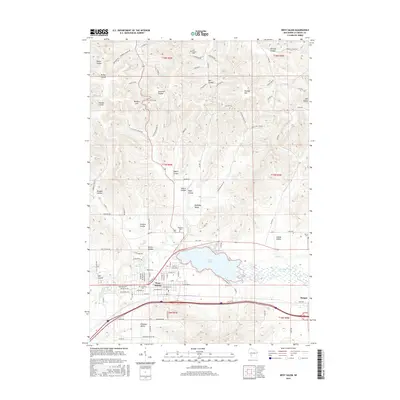
2015 Map of West Salem
USGS Topo · Published 2015About this map
West Salem and the expanding waters of Neshonoc Lake anchor this 2015 study of the driftless region's unique geography. The landscape is defined by its namesake "coulees"—deep, narrow valleys like Sweden Coulee and Gavin Coulee—which carve through the upland terrain towards the La Crosse River floodplain. This area reflects a deep history of settlement and agriculture, evidenced by several family and community burial grounds including Neshonoc Cem and Hamilton Cem.
Find a feature on this map
109 named features on this map. Tap any name to fly to it.
Don’t see what you’re looking for? This feature index may not catch every label — zoom into the map to look around manually.
Map Details
Editions of this 2015 West Salem Map
This is the sole edition of this map. No revisions or reprints were ever made.
Other maps of this area

1909 · Sparta
USGS Topo · 1:62,500

1926 · North Bend
USGS Topo · 1:62,500

1927 · La Crosse
USGS Topo · 1:62,500

1928 · Melrose
USGS Topo · 1:48,000

1929 · North Bend
USGS Topo · 1:62,500

1930 · La Crosse
USGS Topo · 1:62,500

1947 · Sparta
USGS Topo · 1:62,500

1949 · Sparta
USGS Topo · 1:62,500

1949 · Melrose
USGS Topo · 1:62,500

1953 · Eau Claire
USGS Topo · 1:250,000