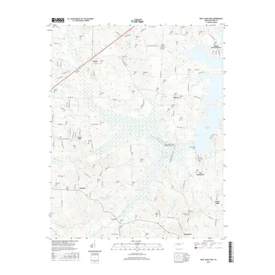
2016 Map of West Sandy Dike
USGS Topo · Published 2016About this map
Kentucky Lake and the engineered wetlands of the West Sandy Creek Dewatering Area dominate this section of Henry County, illustrating the modern management of the Tennessee River watershed. The landscape is a complex network of drainage ditches and creeks, including Grudge Ditch and the W Sandy Cr Drainage Ditch, which support the low-lying agricultural areas surrounding Old Springville.
Find a feature on this map
141 named features on this map. Tap any name to fly to it.
Don’t see what you’re looking for? This feature index may not catch every label — zoom into the map to look around manually.
Map Details
Editions of this 2016 West Sandy Dike Map
This is the sole edition of this map. No revisions or reprints were ever made.
Other maps of this area

1936 · Poplar Creek
USGS Topo · 1:24,000

1936 · Conyersville
USGS Topo · 1:24,000

1936 · Buchanan
USGS Topo · 1:24,000

1936 · Big Sandy
USGS Topo · 1:24,000

1936 · Mansfield
USGS Topo · 1:24,000

1936 · Centerville Landing
USGS Topo · 1:24,000

1936 · Manleyville
USGS Topo · 1:24,000

1936 · Paris
USGS Topo · 1:24,000

1936 · Springville
USGS Topo · 1:24,000

1938 · Springville
USGS Topo · 1:24,000