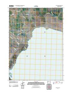
2011 Map of West Side
USGS Topo · Published 2011About this map
West Side and the West Side Post Office serve as the primary human touchpoints in this transition from the high desert plains of Lake County to the expansive waters of Goose Lake. The landscape is defined by the hydrologic network feeding into the lake, characterized by numerous drainages such as Antelope Creek, Thomas Creek, and Cottonwood Creek that cross the northern sections. Below the developed crossroads, the terrain gives way to complex wetlands and seasonal waterways including Cheney Slough, Drews Creek Slough, and Barnes Slough. Local road networks like Sipp-Garrett Rd and Fenimore Garrett Rd reflect long-standing family associations with the land. The map illustrates the stark contrast between the surveyed road grid of the settlement and the organic, meandering paths of Mill Creek and Dry Creek as they approach the shoreline.
Find a feature on this map
16 named features on this map. Tap any name to fly to it.
Don’t see what you’re looking for? This feature index may not catch every label — zoom into the map to look around manually.
Map Details
Editions of this 2011 West Side Map
This is the sole edition of this map. No revisions or reprints were ever made.
Other maps of this area

1886 · Alturas
USGS Topo · 1:250,000

1892 · Alturas
USGS Topo · 1:250,000

1954 · Alturas
USGS Topo · 1:250,000

1955 · Klamath Falls
USGS Topo · 1:250,000

1958 · Alturas
USGS Topo · 1:250,000

1958 · Klamath Falls
USGS Topo · 1:250,000

1962 · Alturas
USGS Topo · 1:250,000

1962 · Willow Ranch
USGS Topo · 1:62,500

1962 · South Mountain
USGS Topo · 1:62,500

1964 · Lakeview NE
USGS Topo · 1:24,000