
1964 Map of Lakeview NE
USGS Topo · Published 1965About this map
Lakeview serves as the focal point of this mid-1960s survey, positioned where the high desert meets the wooded slopes of the Fremont National Forest. The town's educational landscape is well-defined, featuring several local institutions including Bullard Sch, Hay Sch, Fremont Sch, and McDonald Sch. To the north, the geothermal activity at Hunters Hot Sprs stands out near the Southern Pacific railroad line, while the Sunset Cem and the Fairgrounds mark the northern and western edges of the community.
Find a feature on this map
51 named features on this map. Tap any name to fly to it.
Don’t see what you’re looking for? This feature index may not catch every label — zoom into the map to look around manually.
Map Details
Editions of this 1964 Lakeview NE Map
This is the sole edition of this map. No revisions or reprints were ever made.
Other maps of this area

1955 · Klamath Falls
USGS Topo · 1:250,000

1958 · Klamath Falls
USGS Topo · 1:250,000

1964 · Crooked Creek Valley
USGS Topo · 1:24,000

1964 · Lakeview SW
USGS Topo · 1:24,000

1964 · Lakeview NW
USGS Topo · 1:24,000
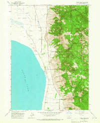
1964 · Crane Creek
USGS Topo · 1:24,000

1964 · Big Baldy
USGS Topo · 1:24,000

1968 · Crook Peak
USGS Topo · 1:24,000
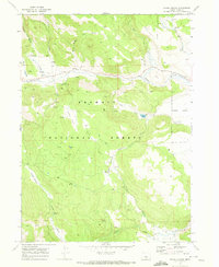
1968 · Horse Prairie
USGS Topo · 1:24,000
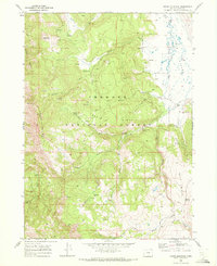
1968 · Crane Mountain
USGS Topo · 1:24,000