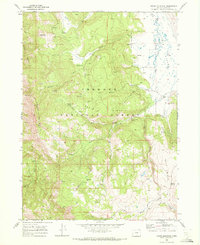
1968 Map of Crane Mountain
USGS Topo · Published 1972About this map
Fremont National Forest dominates this landscape, where the high elevation of Crane Mountain and Red Peak defines a terrain of steep ridges and deep creek drainages. The map records a working landscape of the late 1960s, punctuated by the Robinson Ranch on the eastern edge near Big Valley and the isolated Willow Creek Cabin further into the interior. Numerous water sources, including Deep Creek Spring and Cressler Creek, draw a complex hydrological network through Turpin Ridge and the Bald Hills.
Find a feature on this map
29 named features on this map. Tap any name to fly to it.
Don’t see what you’re looking for? This feature index may not catch every label — zoom into the map to look around manually.
Map Details
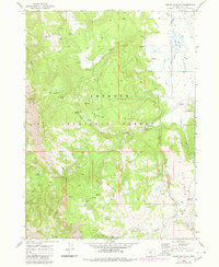
Editions of this 1968 Crane Mountain Map
2 editions found
Other maps of this area

1886 · Alturas
USGS Topo · 1:250,000

1892 · Alturas
USGS Topo · 1:250,000

1954 · Alturas
USGS Topo · 1:250,000

1955 · Klamath Falls
USGS Topo · 1:250,000

1958 · Alturas
USGS Topo · 1:250,000

1958 · Klamath Falls
USGS Topo · 1:250,000

1962 · Alturas
USGS Topo · 1:250,000

1962 · Willow Ranch
USGS Topo · 1:62,500

1962 · Fort Bidwell
USGS Topo · 1:62,500

1964 · Lakeview NE
USGS Topo · 1:24,000