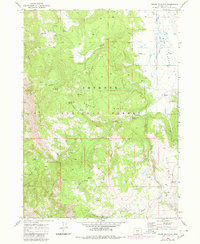
1968 Map of Crane Mountain
USGS Topo · Published 1980About this map
Fremont National Forest dominates this topographic study, revealing a landscape defined by high ridges and a dense network of water sources in southern Lake County. Centered on the towering Crane Mountain, the terrain is marked by essential forest infrastructure including the Lookout Tower and several designated sites like the Willow Creek Campground and Deep Creek Campground. Settlement is sparse, represented by isolated landmarks such as Willow Creek Cabin and Robinson Ranch, which serve as small human outposts within the expansive timberland.
Find a feature on this map
38 named features on this map. Tap any name to fly to it.
Don’t see what you’re looking for? This feature index may not catch every label — zoom into the map to look around manually.
Map Details
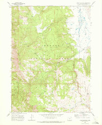
Editions of this 1968 Crane Mountain Map
2 editions found
Other maps of this area

1886 · Alturas
USGS Topo · 1:250,000

1892 · Alturas
USGS Topo · 1:250,000

1954 · Alturas
USGS Topo · 1:250,000

1955 · Klamath Falls
USGS Topo · 1:250,000

1958 · Alturas
USGS Topo · 1:250,000

1958 · Klamath Falls
USGS Topo · 1:250,000

1962 · Alturas
USGS Topo · 1:250,000

1962 · Willow Ranch
USGS Topo · 1:62,500

1962 · Fort Bidwell
USGS Topo · 1:62,500

1964 · Lakeview NE
USGS Topo · 1:24,000