
1964 Map of Lakeview NW
USGS Topo · Published 1965About this map
The Fremont National Forest dominates the northwest corner of this Lake County landscape, where the high desert meets the irrigated plains of the Goose Lake Valley. The 1960s economy is clearly visible through a network of water management features, including the North Canal and Canal No 6, which support local agriculture and livestock operations. Scattered homesteads such as Lehmann Ranch and Reed Ranch are linked by gravel and unimproved roads, including the West Side Road and the dedicated Stock Drive. Educational infrastructure of the era is represented by the New Idaho Sch and Vernon Sch, reflecting a rural community structure before further consolidation. The southern portion of the map is defined by the Lakeview Airport and the northern reaches of Goose Lake, emphasizing the region's importance as a hub for both transportation and water resources.
Find a feature on this map
27 named features on this map. Tap any name to fly to it.
Don’t see what you’re looking for? This feature index may not catch every label — zoom into the map to look around manually.
Map Details
Editions of this 1964 Lakeview NW Map
This is the sole edition of this map. No revisions or reprints were ever made.
Other maps of this area

1955 · Klamath Falls
USGS Topo · 1:250,000

1958 · Klamath Falls
USGS Topo · 1:250,000

1964 · Lakeview NE
USGS Topo · 1:24,000

1964 · Crooked Creek Valley
USGS Topo · 1:24,000

1964 · Lakeview SW
USGS Topo · 1:24,000

1964 · Cox Flat
USGS Topo · 1:24,000
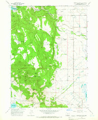
1964 · Fitzwater Point
USGS Topo · 1:24,000

1964 · Drews Gap
USGS Topo · 1:24,000
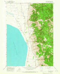
1964 · Crane Creek
USGS Topo · 1:24,000

1964 · Big Baldy
USGS Topo · 1:24,000