
1964 Map of Cox Flat
USGS Topo · Published 1965About this map
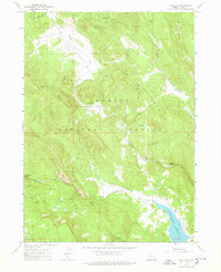
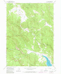
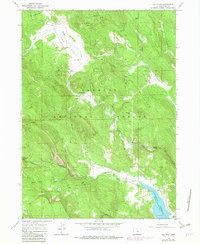
White King Mine and Lucky Lass Mine stand out as significant industrial sites within the Fremont National Forest during the mid-1960s. This survey of the Lake County backcountry reveals a landscape dedicated to both resource extraction and recreation, with a network of Jeep Trails connecting remote springs and campgrounds. The eastern portion of the map is dominated by the Cottonwood Reservoir, noted with a spillway elevation of 5072 feet, which manages the waters of Cottonwood Creek. Natural water sources are abundant throughout the high-elevation terrain, including Mammoth Spring, Boggs Spr, and Hunters Spring. The topographic detail highlights the sharp relief of Shingle Hill and the drainage patterns of Mesman Gulch, providing an excellent record of the region's geography before significant modern infrastructure was introduced.
Find a feature on this map
24 named features on this map. Tap any name to fly to it.
Don’t see what you’re looking for? This feature index may not catch every label — zoom into the map to look around manually.
Map Details
Editions of this 1964 Cox Flat Map
4 editions found
Other maps of this area

1955 · Klamath Falls
USGS Topo · 1:250,000

1958 · Klamath Falls
USGS Topo · 1:250,000

1964 · Drews Reservoir
USGS Topo · 1:24,000

1964 · Lakeview NW
USGS Topo · 1:24,000

1964 · Coleman Point
USGS Topo · 1:24,000

1964 · Cougar Peak
USGS Topo · 1:24,000

1964 · Shoestring Butte
USGS Topo · 1:24,000

1964 · Drews Gap
USGS Topo · 1:24,000

1964 · Clover Flat
USGS Topo · 1:24,000

1964 · Big Baldy
USGS Topo · 1:24,000