
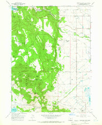
1964 Map of Drews Gap
USGS Topo · Published 1966About this map
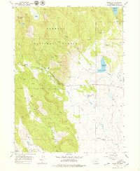
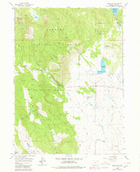
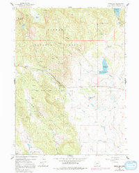
Fremont National Forest dominates this section of south-central Oregon, where the high-altitude terrain transitions between the Low Creek Hills and the open flats of the Antelope Canyon corridor. The 1964 survey reveals a landscape defined by water management and ranching, evidenced by the numerous irrigation and storage features like Cottonwood Reservoir, Muddy Creek Reservoir, and Hill Reservoir. Scattered prospects and borrow pits indicate local mineral extraction efforts alongside the established agricultural presence of the Lamb Ranch and Hill Ranch.
Find a feature on this map
36 named features on this map. Tap any name to fly to it.
Don’t see what you’re looking for? This feature index may not catch every label — zoom into the map to look around manually.
Map Details
Editions of this 1964 Drews Gap Map
4 editions found
Other maps of this area

1955 · Klamath Falls
USGS Topo · 1:250,000

1958 · Klamath Falls
USGS Topo · 1:250,000

1964 · Drews Reservoir
USGS Topo · 1:24,000

1964 · Lakeview SW
USGS Topo · 1:24,000

1964 · Cox Flat
USGS Topo · 1:24,000

1964 · Lakeview NW
USGS Topo · 1:24,000
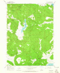
1964 · Dog Lake
USGS Topo · 1:24,000

1964 · Cougar Peak
USGS Topo · 1:24,000
1964 · Fitzwater Point
USGS Topo · 1:24,000

1964 · Big Baldy
USGS Topo · 1:24,000