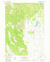
1964 Map of Drews Gap
USGS Topo · Published 1980About this map
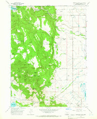
Fremont National Forest dominates this high-country landscape, where the Willow Creek Hills rise above a complex network of canyons and meadows. The map documents the mid-20th-century water management system of Lake County, highlighting the Cottonwood Reservoir and Muddy Creek Reservoir, which feed an intricate series of canals including the North Canal and East Canal. This era of ranching is anchored by the Lamb Ranch and Hill Ranch, positioned near vital water sources like Sage Spring and Fish Lake.
Find a feature on this map
45 named features on this map. Tap any name to fly to it.
Don’t see what you’re looking for? This feature index may not catch every label — zoom into the map to look around manually.
Map Details
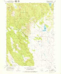
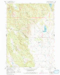
Editions of this 1964 Drews Gap Map
4 editions found
Other maps of this area

1955 · Klamath Falls
USGS Topo · 1:250,000

1958 · Klamath Falls
USGS Topo · 1:250,000

1964 · Drews Reservoir
USGS Topo · 1:24,000

1964 · Lakeview SW
USGS Topo · 1:24,000

1964 · Cox Flat
USGS Topo · 1:24,000

1964 · Lakeview NW
USGS Topo · 1:24,000
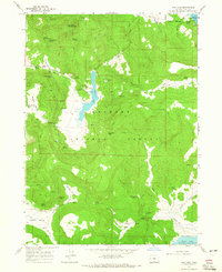
1964 · Dog Lake
USGS Topo · 1:24,000

1964 · Cougar Peak
USGS Topo · 1:24,000
1964 · Fitzwater Point
USGS Topo · 1:24,000

1964 · Drews Gap
USGS Topo · 1:24,000