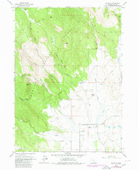
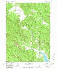
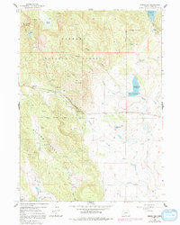
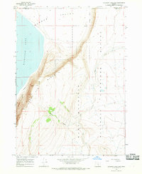
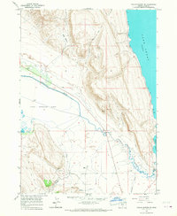
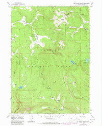
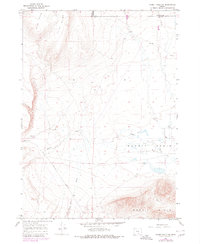
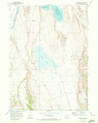
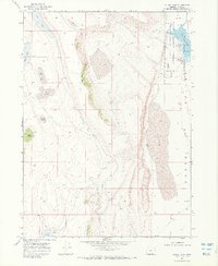
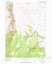
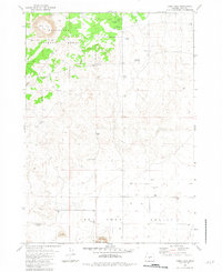
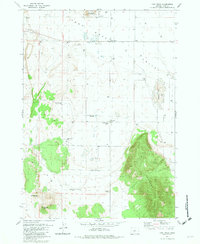
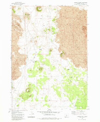
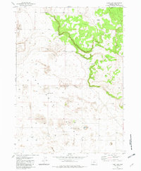
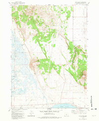
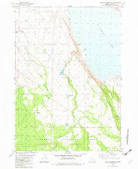
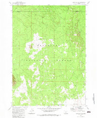
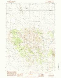
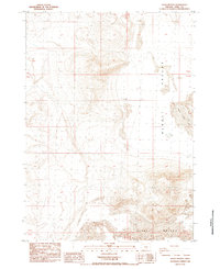
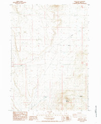
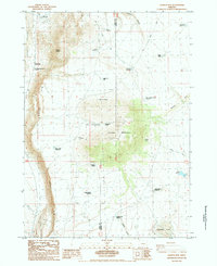
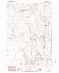
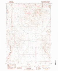
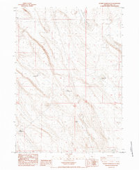
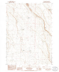
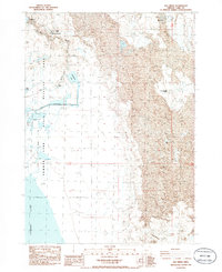
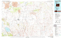
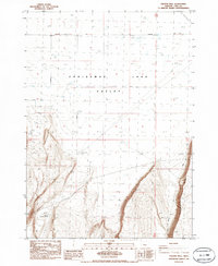
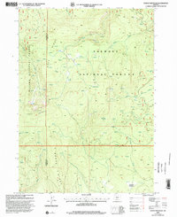
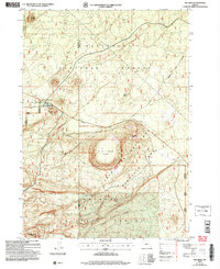
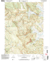
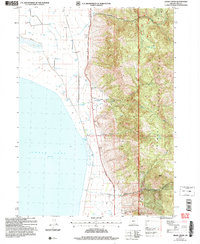
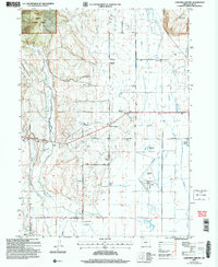
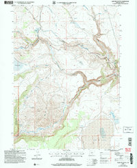
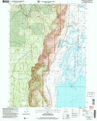
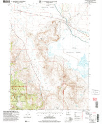
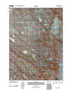
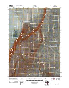
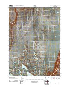
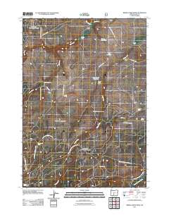
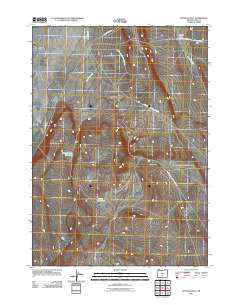
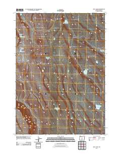
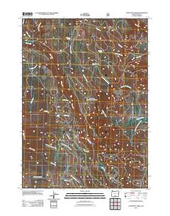
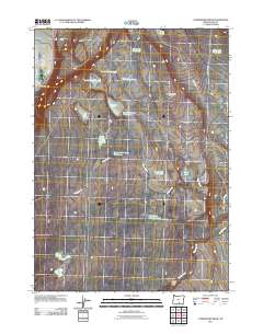
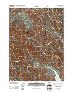
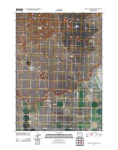
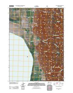
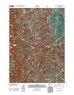
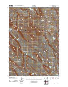
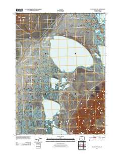
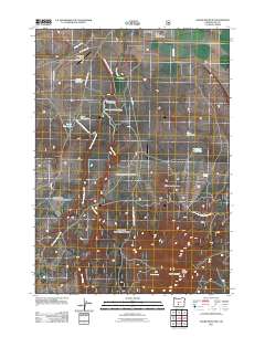
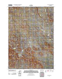
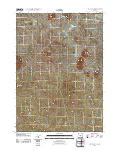
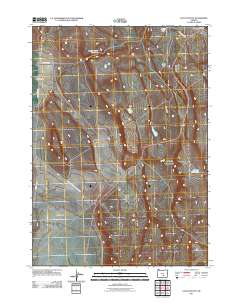
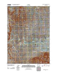
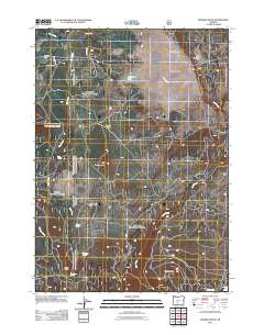
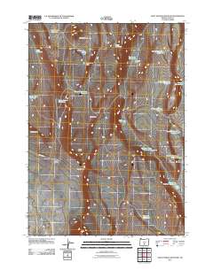
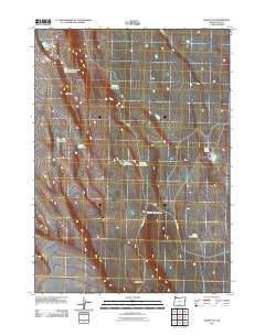
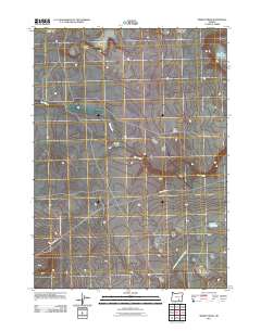
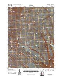
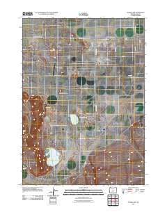
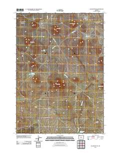
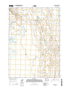
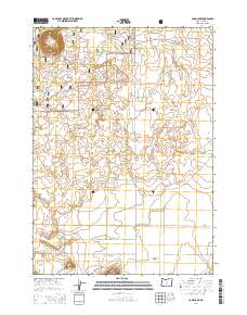
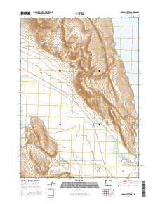
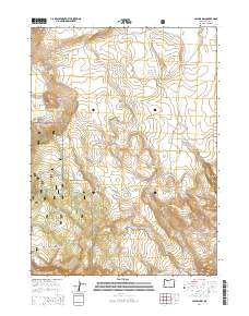
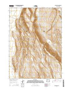
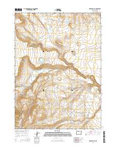
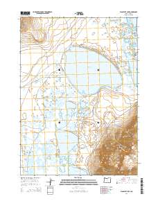
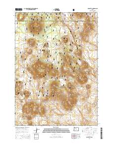
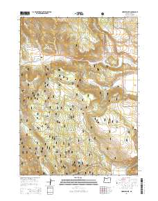
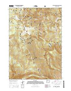
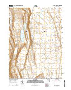
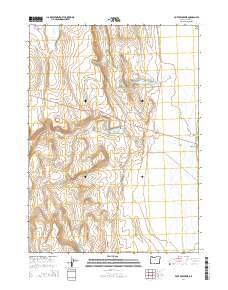
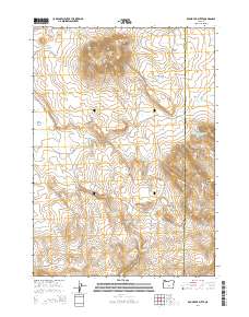
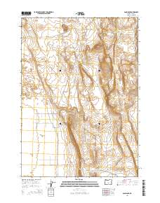
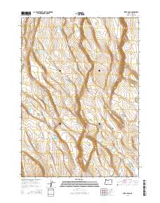
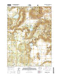
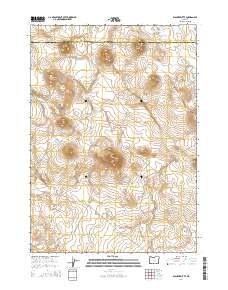
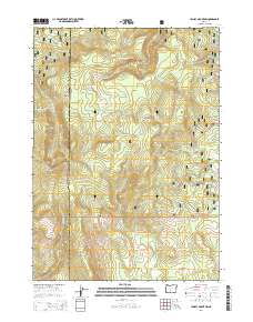
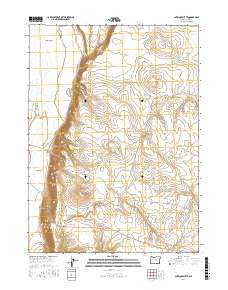
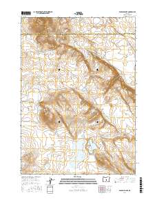
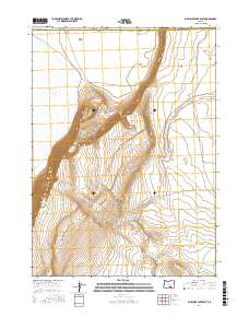
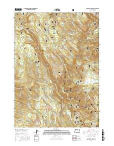
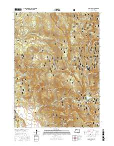
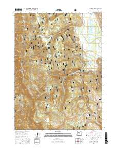
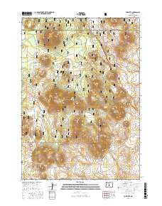
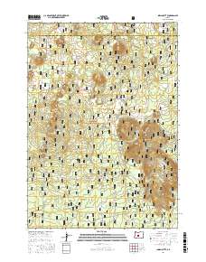
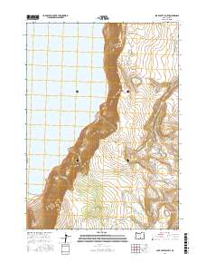
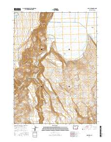
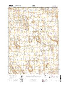
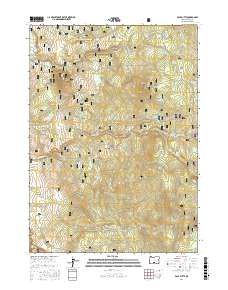
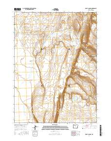
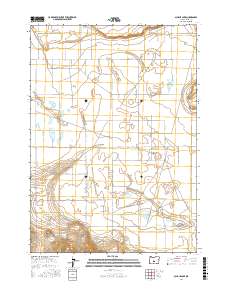
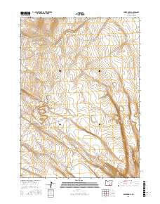
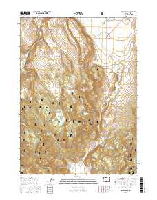
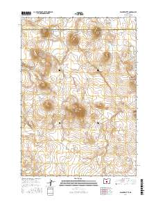
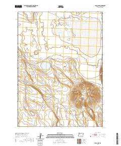
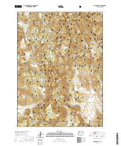
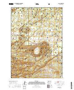
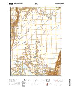
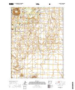
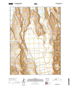
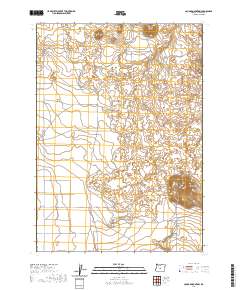
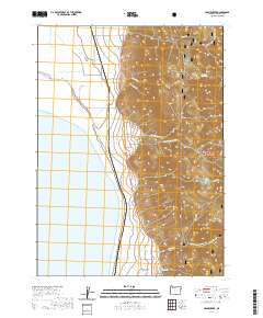
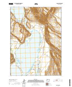
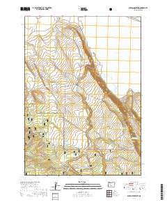
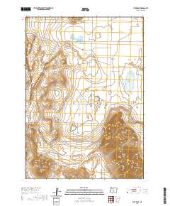
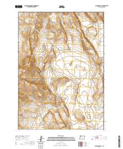
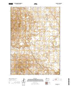
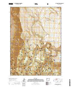
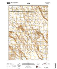
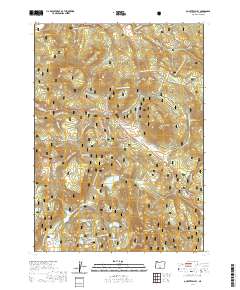
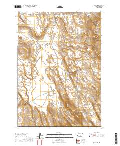
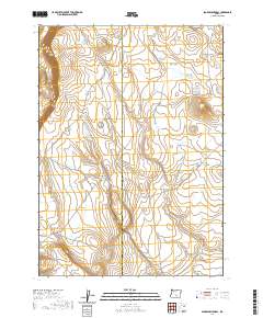
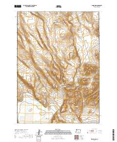
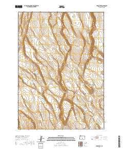
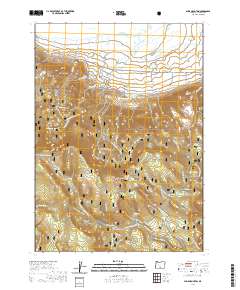
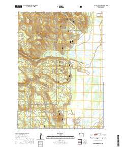
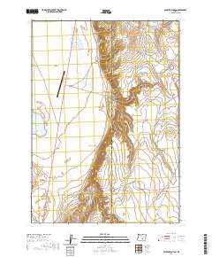
1964 Map of Drews Gap
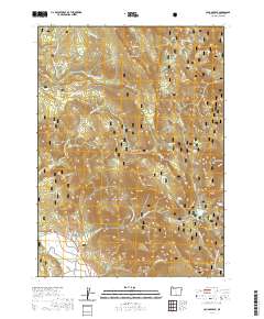
USGS Topo · Published 1979About this map
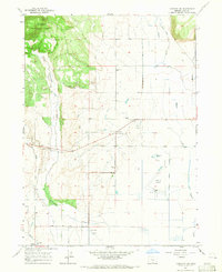
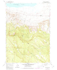
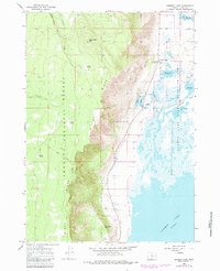
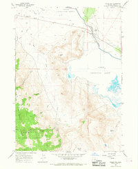
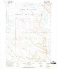
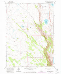
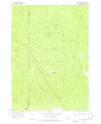
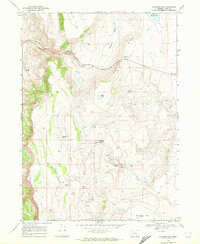
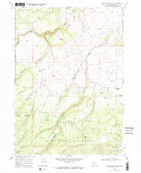
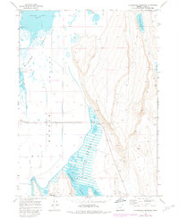
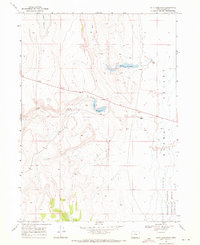
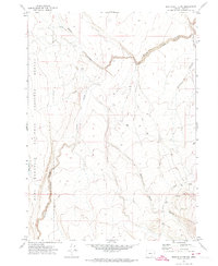
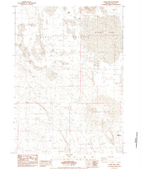
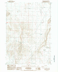
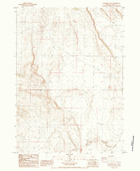
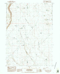
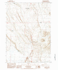
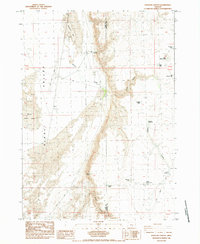
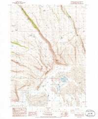
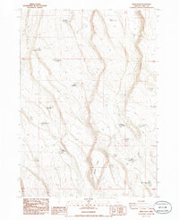
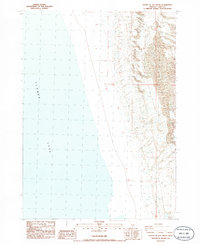
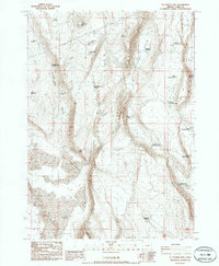
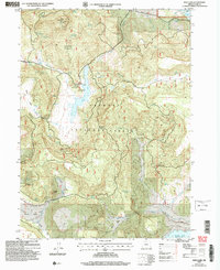
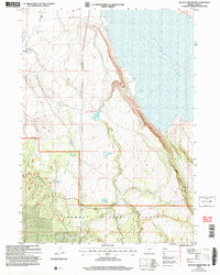
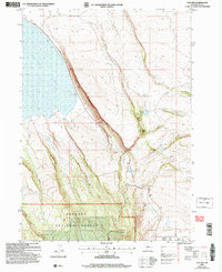
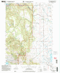
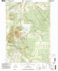
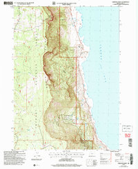
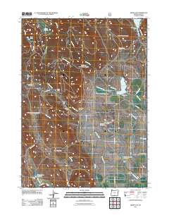
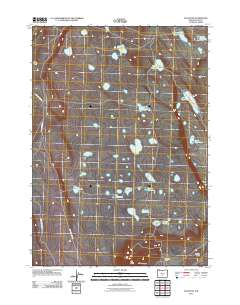
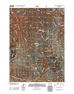
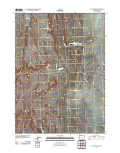
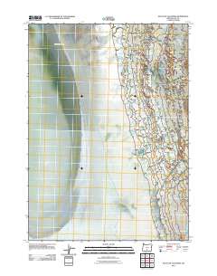
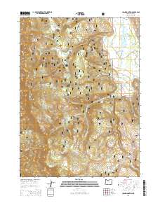
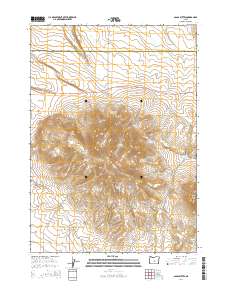
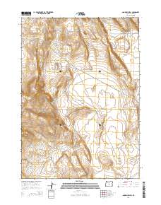
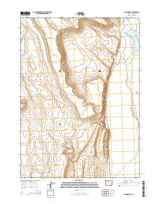
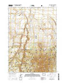
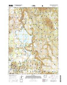
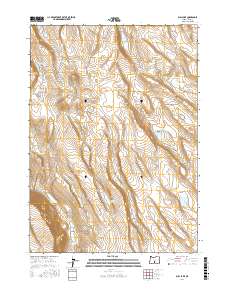
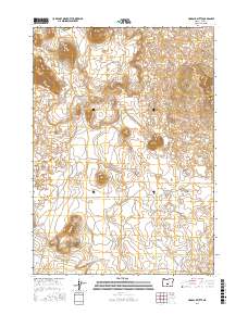
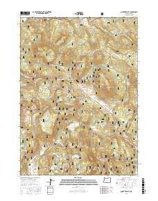
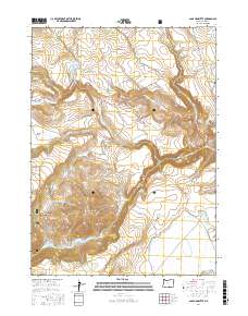
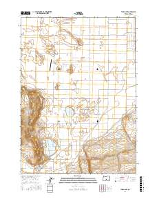
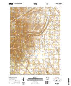
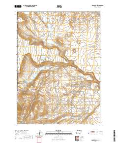
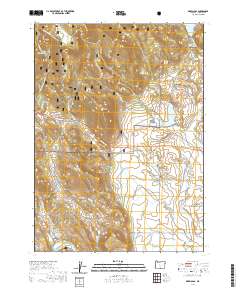
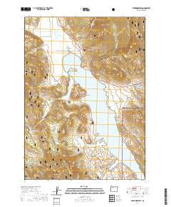
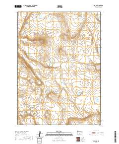
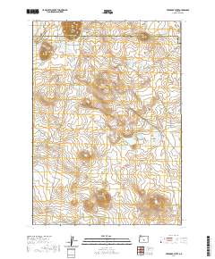
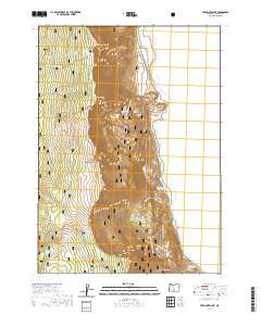
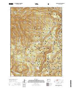
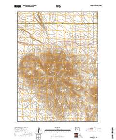
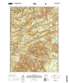
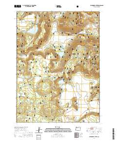
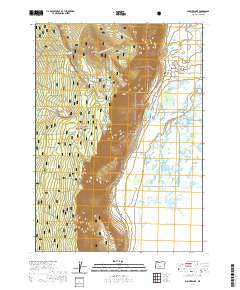
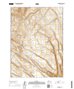
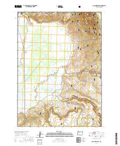
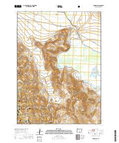
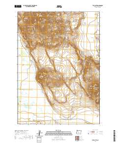
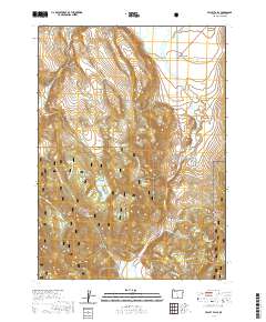
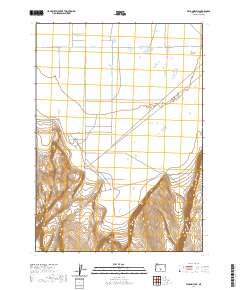
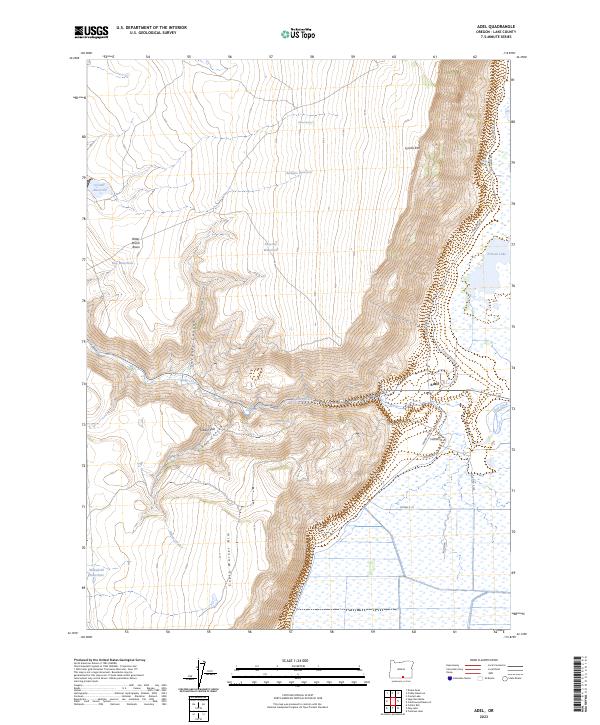
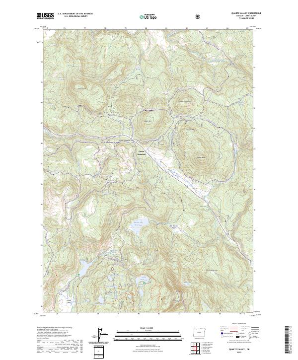
Fremont National Forest dominates this landscape in southern Oregon, where the high-altitude terrain transitions between the Willow Creek Hills and the winding course of Antelope Creek. The map documents a rugged water management network critical to the region's ranching economy, featuring Cottonwood Reservoir in the northeast and smaller catchments like Hill Reservoir and Muddy Reservoir. At the heart of the quadrangle, Drews Gap provides a vital passage through the mountains, flanked by the R A Booth Memorial State Park. Local heritage is anchored by established family operations such as the Lamb Ranch and Hill Ranch, situated near the confluence of seasonal streams and canyons. The presence of numerous named springs, including those near Fish Lake and Patton Meadow, underscores the importance of every water source in this arid forest environment.
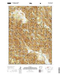
Find a feature on this map
33 named features on this map. Tap any name to fly to it.
Don’t see what you’re looking for? This feature index may not catch every label — zoom into the map to look around manually.
Map Details
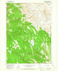
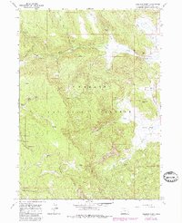
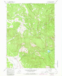
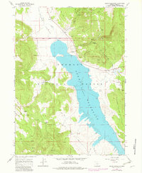
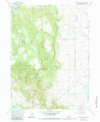
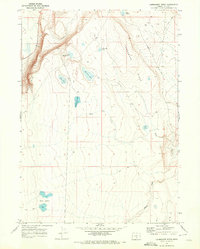
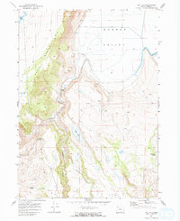
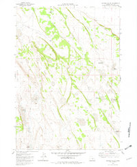
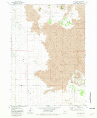
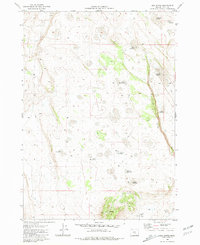
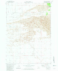
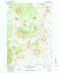
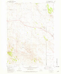
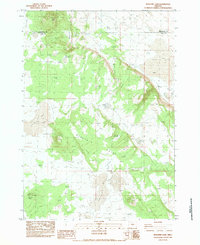
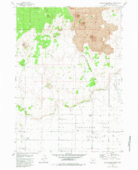
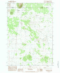
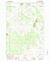
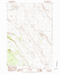
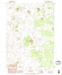
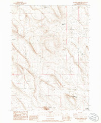
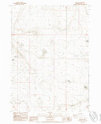
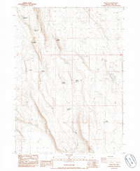
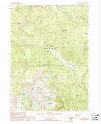
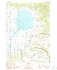
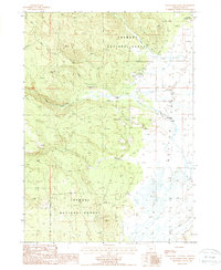
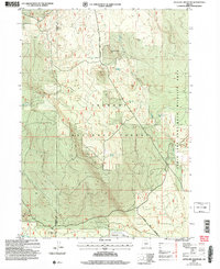
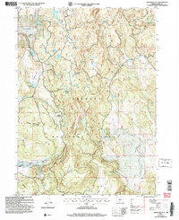
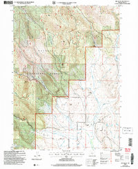
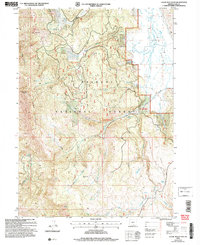
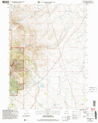
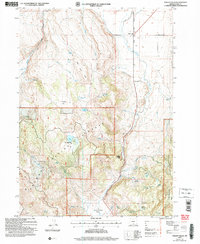
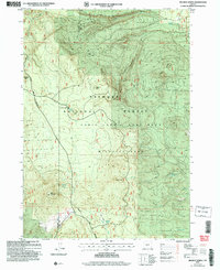
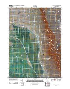
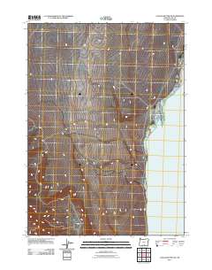
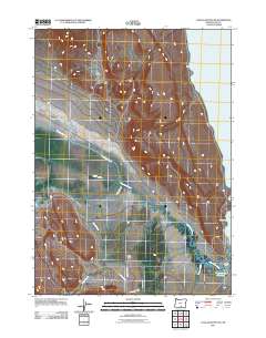
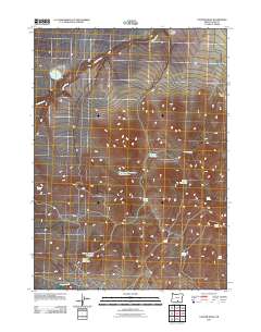
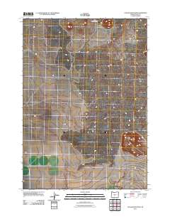
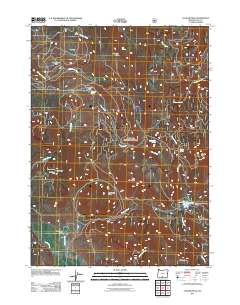
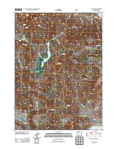
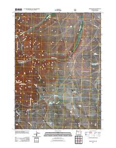
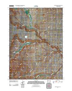
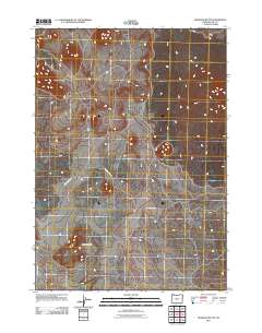
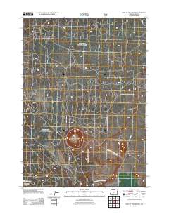
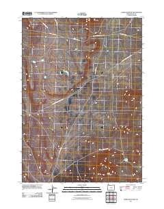
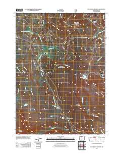
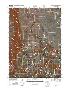
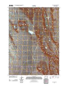
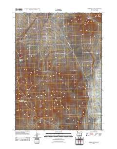
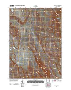
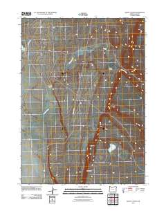
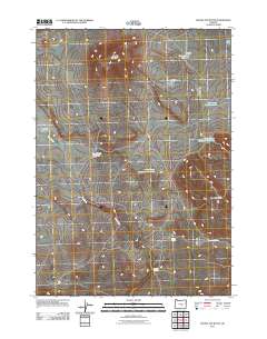
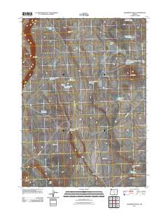
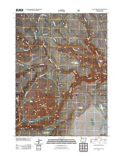
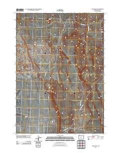
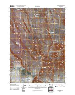
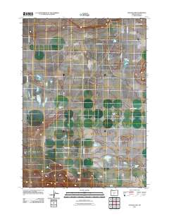
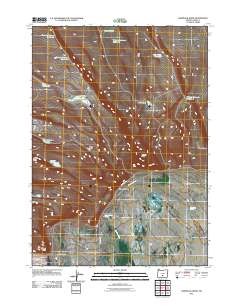
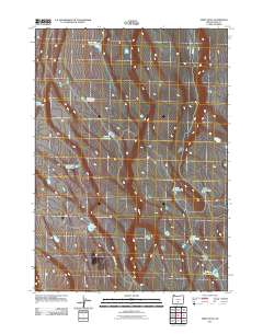
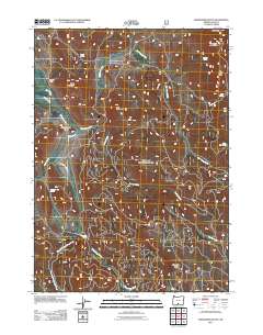
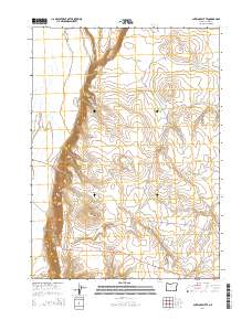
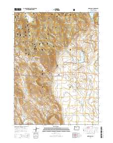
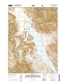
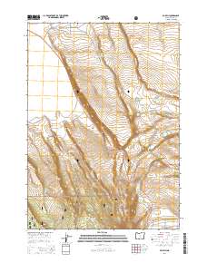
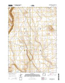
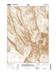
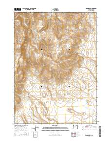
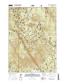
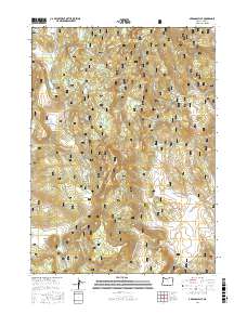
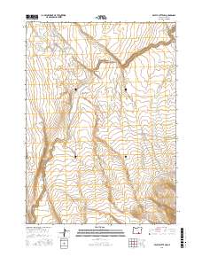
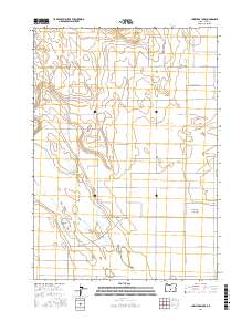
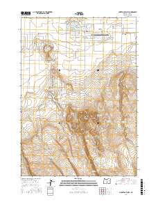
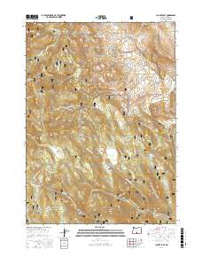
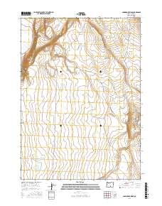
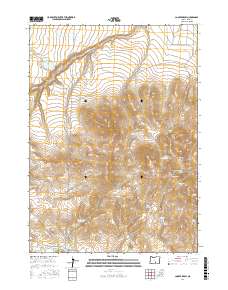
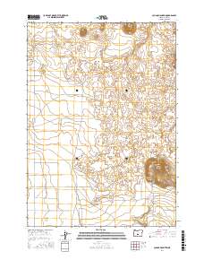
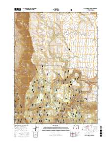
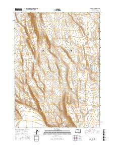
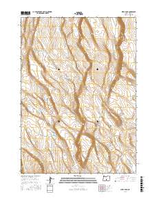
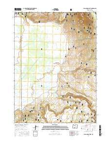
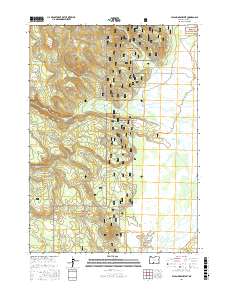
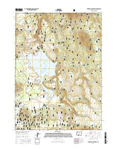
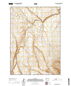
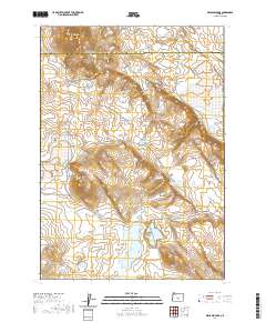
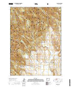
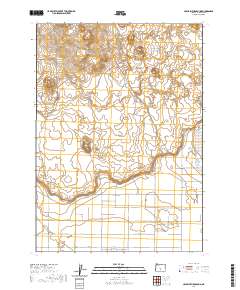
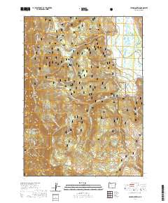
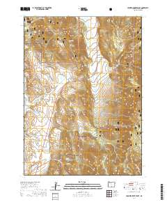
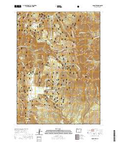
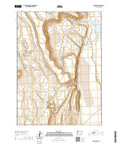
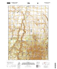
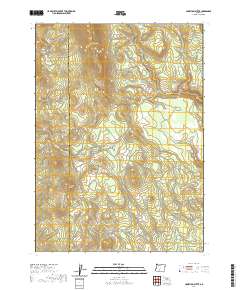
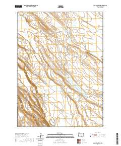
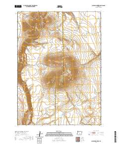
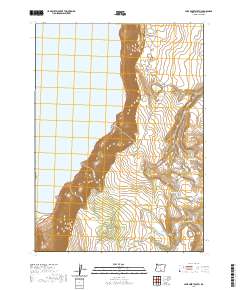
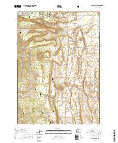
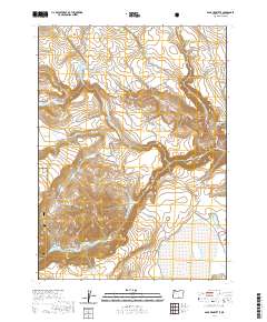
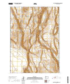
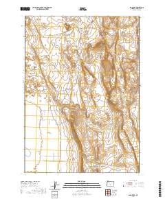
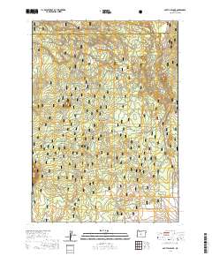
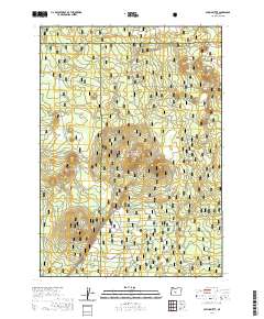
Editions of this 1964 Drews Gap Map
4 editions found
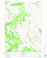
Historical Maps of Lake County Through Time
981 maps found
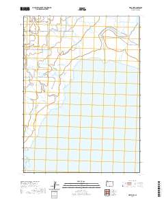
1955 Adel
Lake County, OR

1957 Adel
Lake County, OR

1958 Adel
Lake County, OR
1960 Fishhole Mtn
Lake County, OR
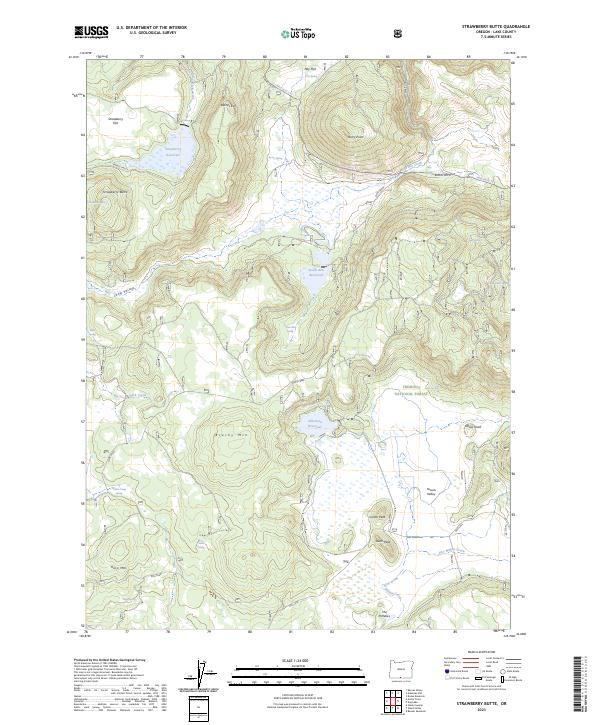
1960 Strawberry Butte
Lake County, OR
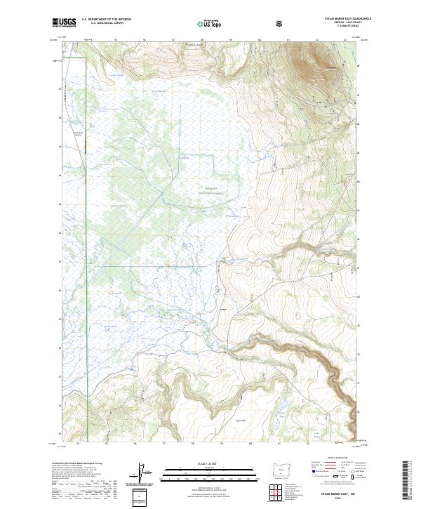
1960 Sycan Marsh
Lake County, OR

1962 Adel
Lake County, OR
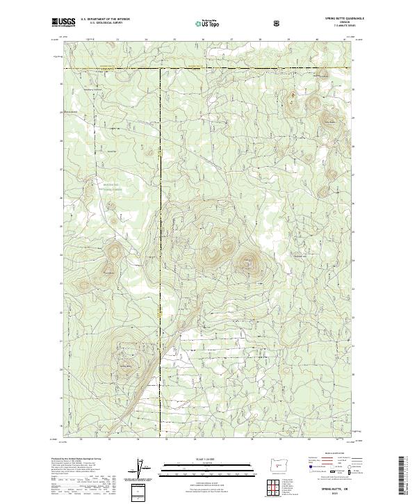
1963 Spring Butte
Lake County, OR
1964 Big Baldy
Lake County, OR
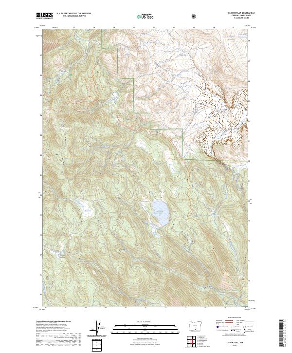
1964 Clover Flat
Lake County, OR
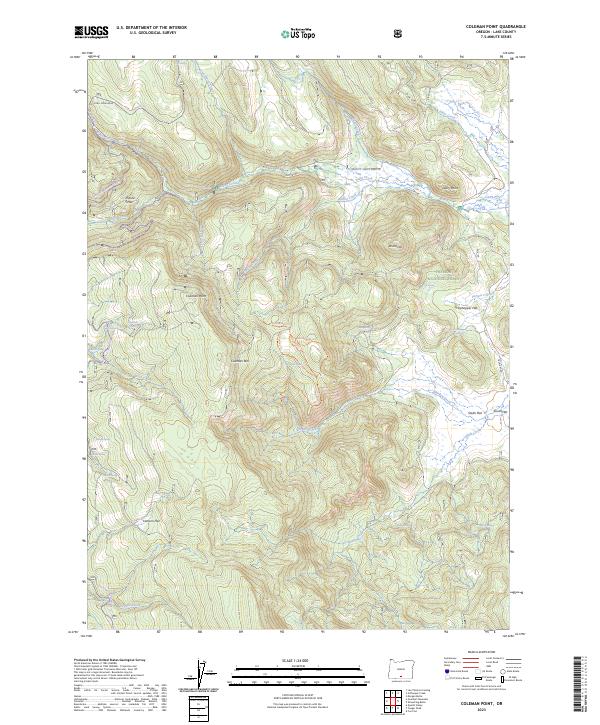
1964 Coleman Point
Lake County, OR
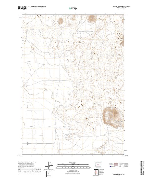
1964 Cougar Peak
Lake County, OR
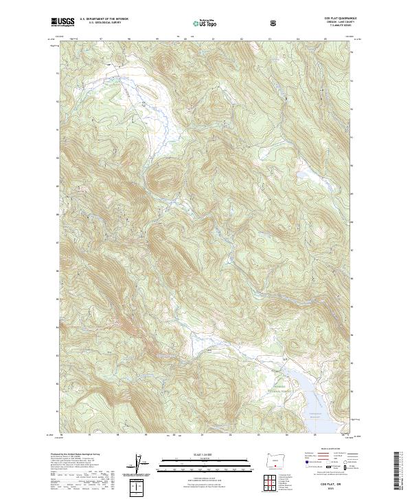
1964 Cox Flat
Lake County, OR
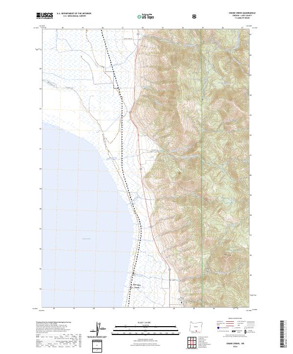
1964 Crane Creek
Lake County, OR
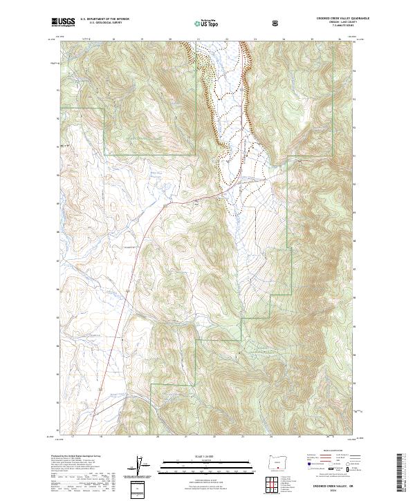
1964 Crooked Creek Valley
Lake County, OR
1964 Dog Lake
Lake County, OR
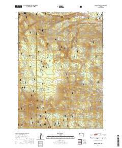
1964 Drews Gap
Lake County, OR
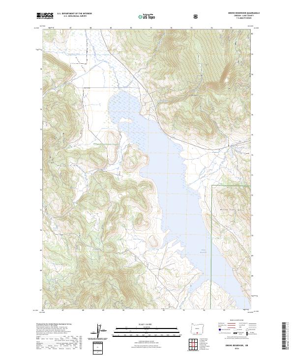
1964 Drews Reservoir
Lake County, OR
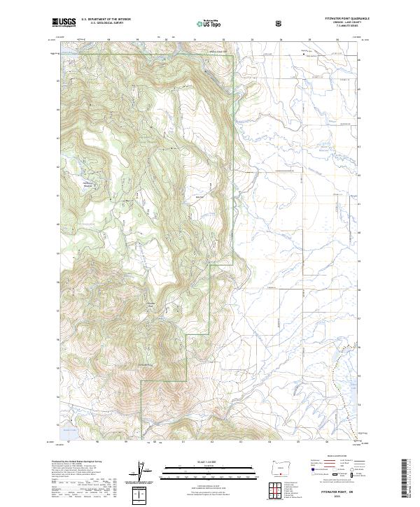
1964 Fitzwater Point
Lake County, OR
1964 Lakeview NE
Lake County, OR
1964 Lakeview NW
Lake County, OR
1964 Lakeview SW
Lake County, OR
1964 Shoestring Butte
Lake County, OR
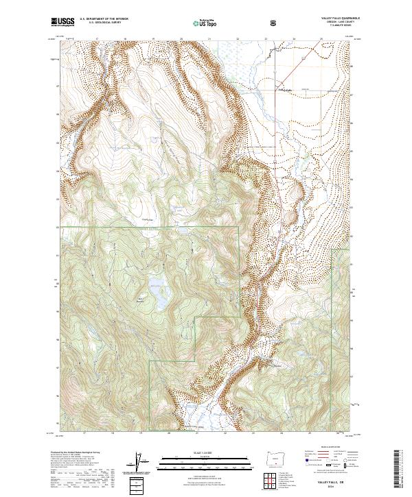
1964 Valley Falls
Lake County, OR
1966 Bluejoint Lake East
Lake County, OR
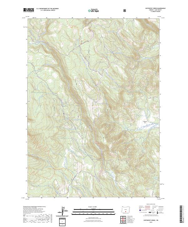
1966 Coffeepot Creek
Lake County, OR
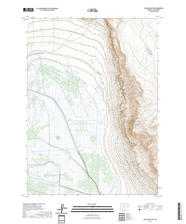
1966 Coglan Buttes
Lake County, OR
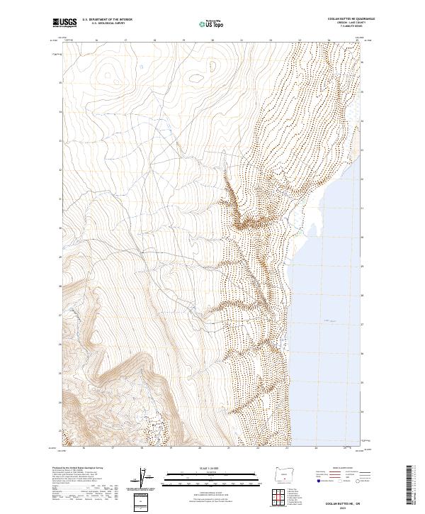
1966 Coglan Buttes NE
Lake County, OR
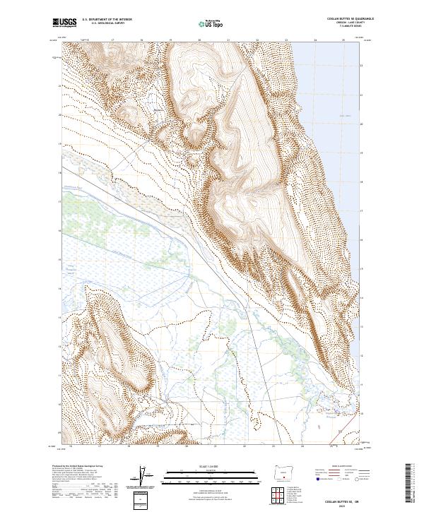
1966 Coglan Buttes SE
Lake County, OR
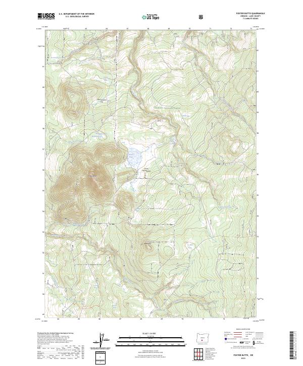
1966 Foster Butte
Lake County, OR
1966 Fremont Point
Lake County, OR
1966 Harvey Creek
Lake County, OR
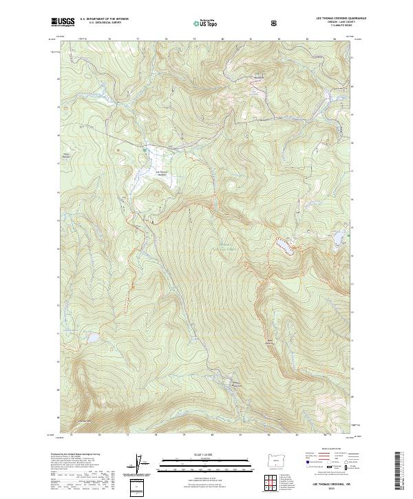
1966 Lee Thomas Crossing
Lake County, OR
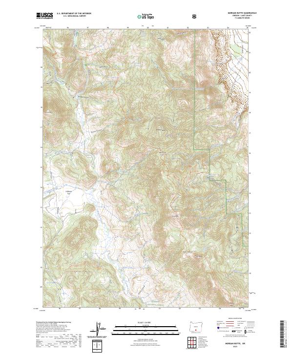
1966 Morgan Butte
Lake County, OR
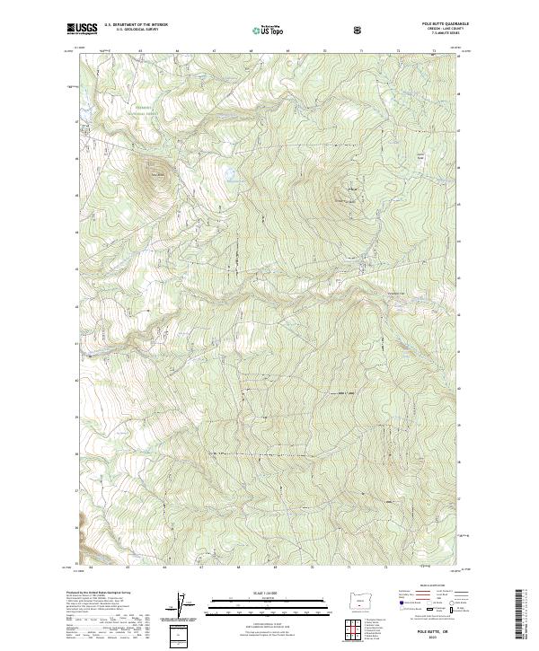
1966 Pole Butte
Lake County, OR
1966 Rabbit Hills NE
Lake County, OR
1966 Rabbit Hills NW
Lake County, OR
1966 Slide Mtn
Lake County, OR
1966 Summer Lake
Lake County, OR
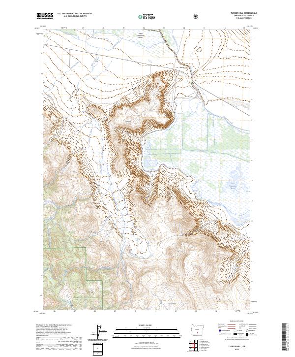
1966 Tucker Hill
Lake County, OR
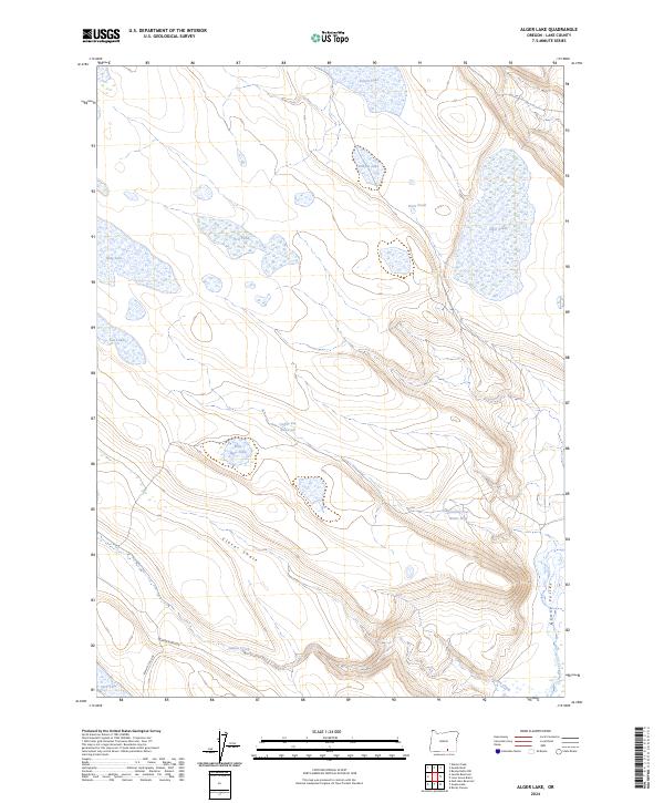
1967 Alger Lake
Lake County, OR
1967 Bluejoint Lake West
Lake County, OR
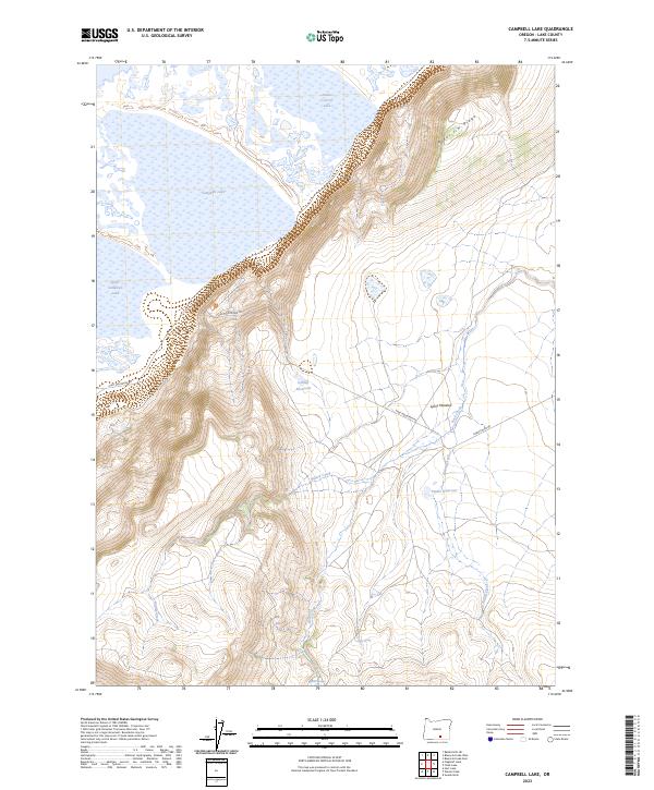
1967 Campbell Lake
Lake County, OR
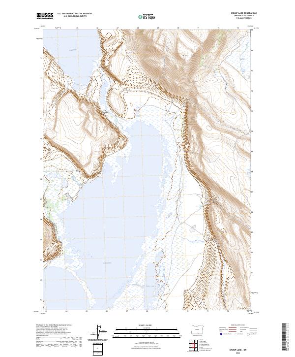
1967 Crump Lake
Lake County, OR
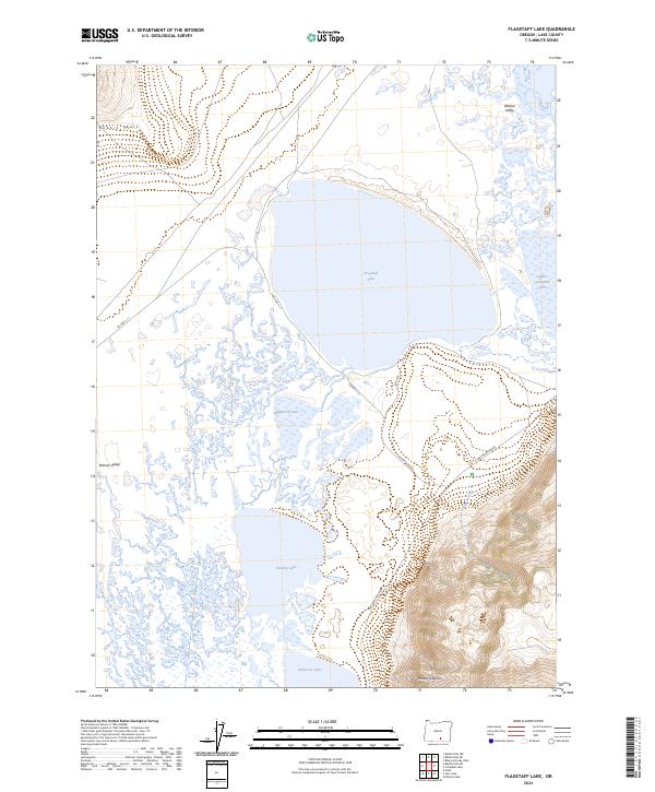
1967 Flagstaff Lake
Lake County, OR
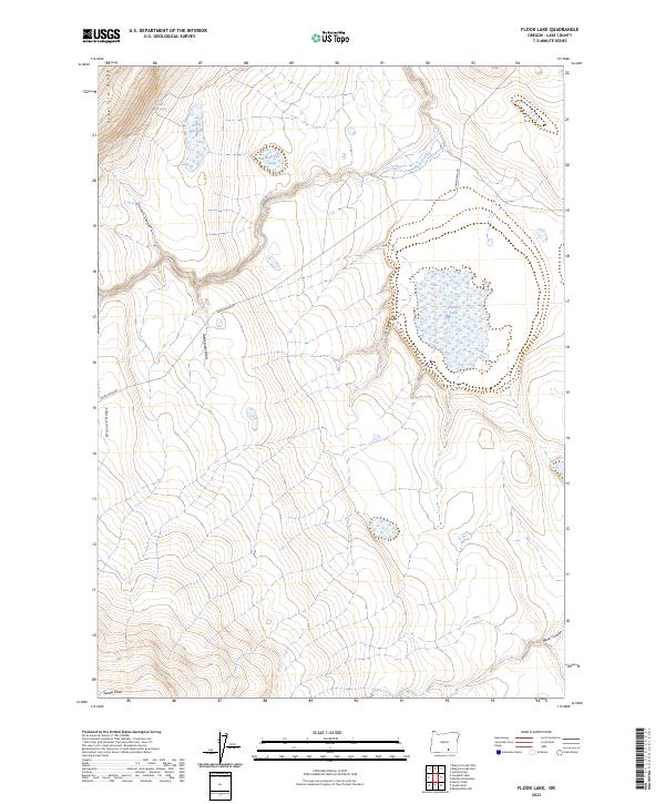
1967 Flook Lake
Lake County, OR
1967 Hart Lake
Lake County, OR
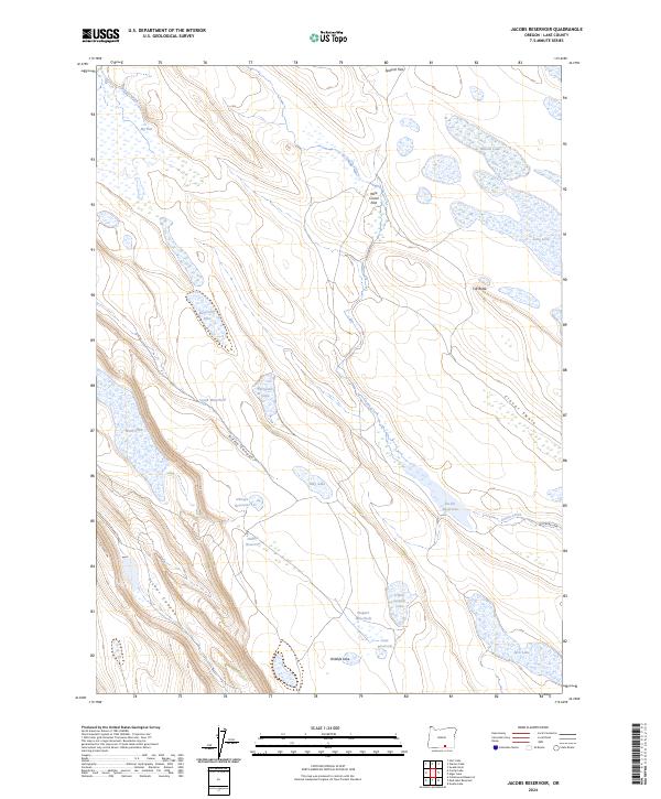
1967 Jacobs Reservoir
Lake County, OR
1967 Priday Reservoir
Lake County, OR
1967 Rabbit Hills SW
Lake County, OR
1967 Swede Knoll
Lake County, OR
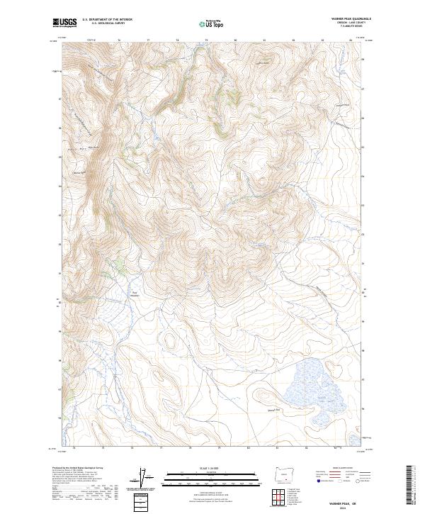
1967 Warner Peak
Lake County, OR

1968 Adel
Lake County, OR
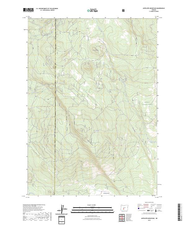
1968 Antelope Mtn
Lake County, OR
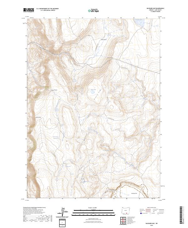
1968 Blizzard Gap
Lake County, OR
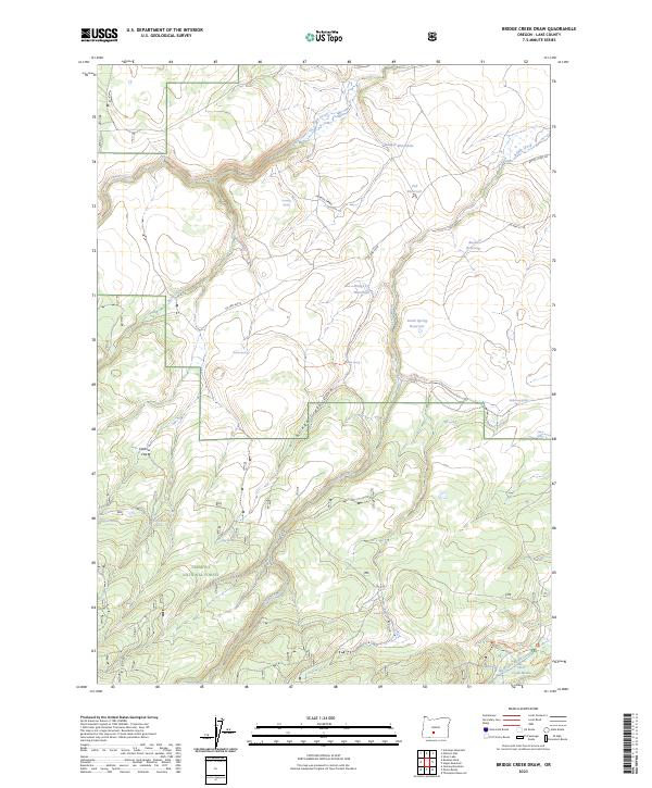
1968 Bridge Creek Draw
Lake County, OR
1968 Calderwood Reservoir
Lake County, OR
1968 Coleman Lake
Lake County, OR
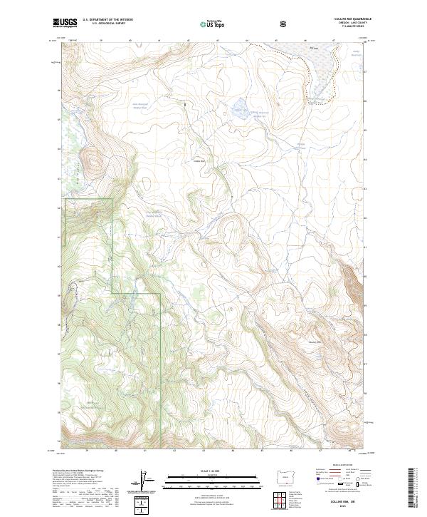
1968 Collins Rim
Lake County, OR
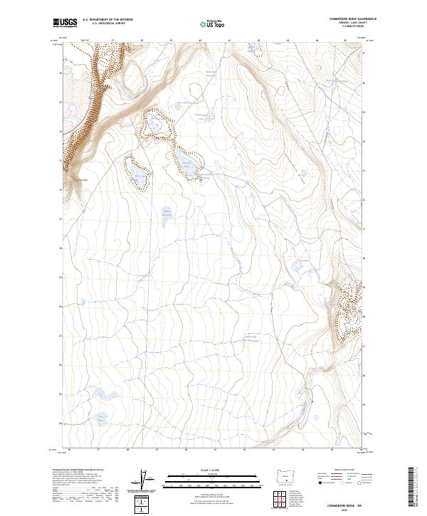
1968 Commodore Ridge
Lake County, OR
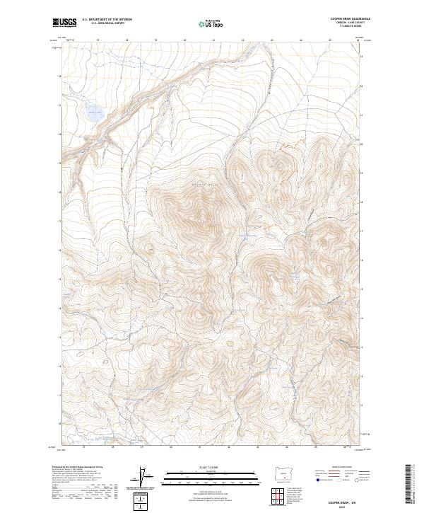
1968 Cooper Draw
Lake County, OR
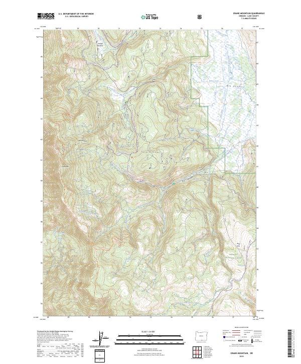
1968 Crane Mountain
Lake County, OR
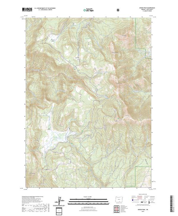
1968 Crook Peak
Lake County, OR
1968 Drake Peak
Lake County, OR
1968 Drake Peak NE
Lake County, OR
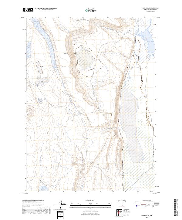
1968 Guano Lake
Lake County, OR
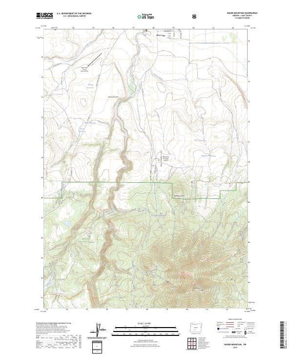
1968 Hager Mtn
Lake County, OR
1968 Horse Prairie
Lake County, OR

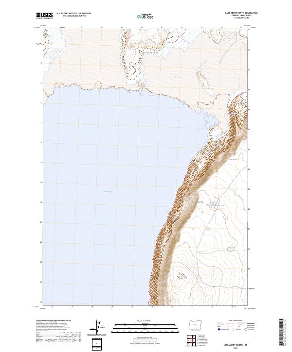
1968 Lake Abert North
Lake County, OR
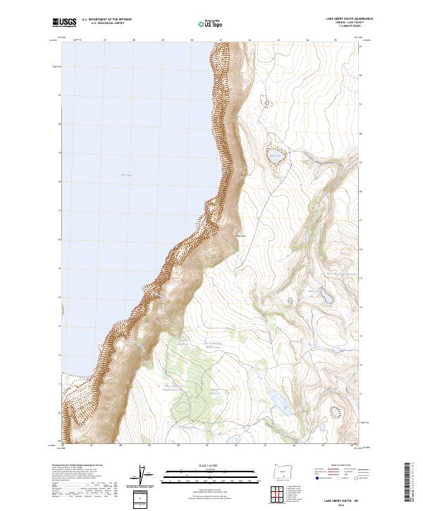
1968 Lake Abert South
Lake County, OR
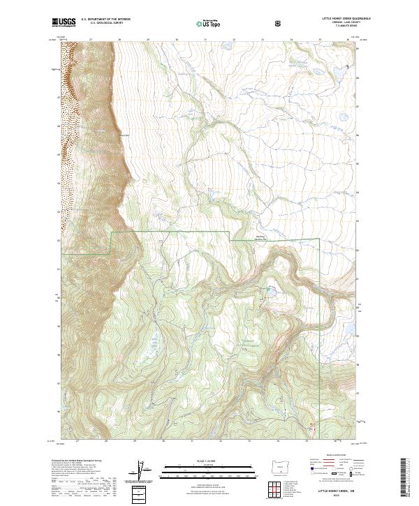
1968 Little Honey Creek
Lake County, OR
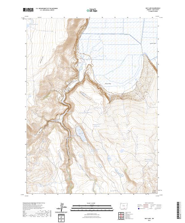
1968 May Lake
Lake County, OR
1968 Mud Lake Reservoir
Lake County, OR
1968 Oatman Flat
Lake County, OR
1968 Piute Reservoir
Lake County, OR
1968 Rodman Rock
Lake County, OR
1968 Sage Hen Butte
Lake County, OR
1971 Antelope Butte
Lake County, OR
1971 Beatys Butte NW
Lake County, OR
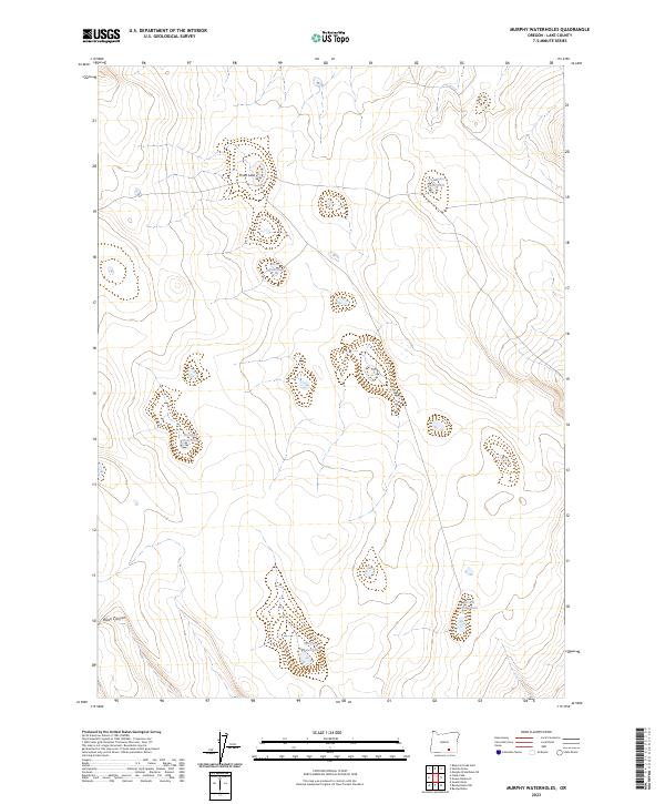
1971 Murphy Waterholes
Lake County, OR
1971 Rocky Canyon
Lake County, OR
1971 Sixmile Draw
Lake County, OR
1974 Lake Abert
Lake County, OR
1980 Clover Flat
Lake County, OR
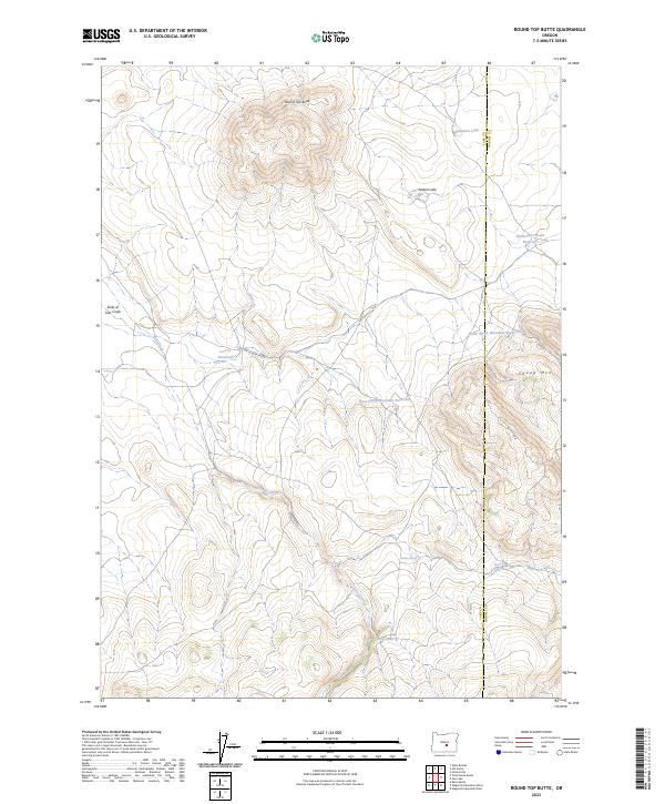
1980 Round Top Butte
Lake County, OR
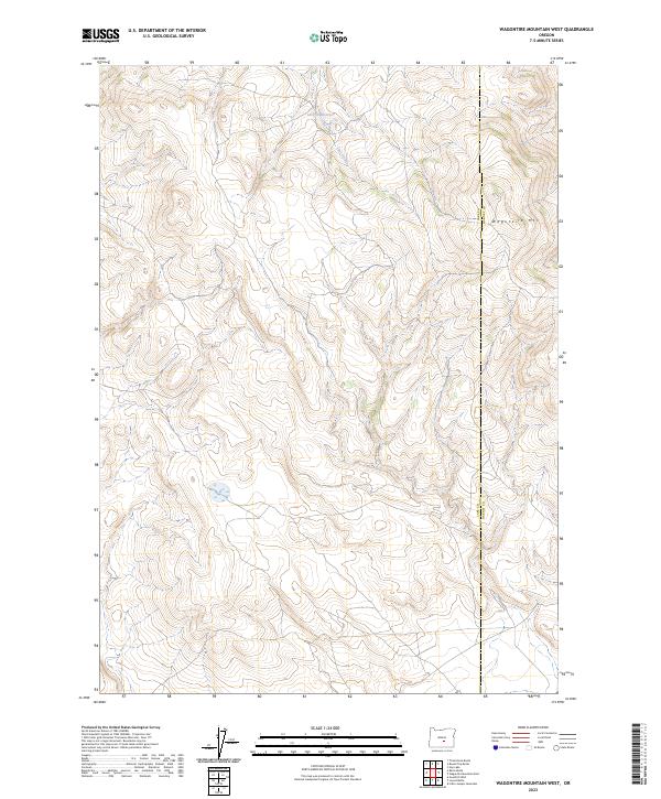
1980 Wagontire Mtn West
Lake County, OR
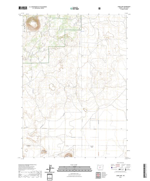
1981 Cabin Lake
Lake County, OR
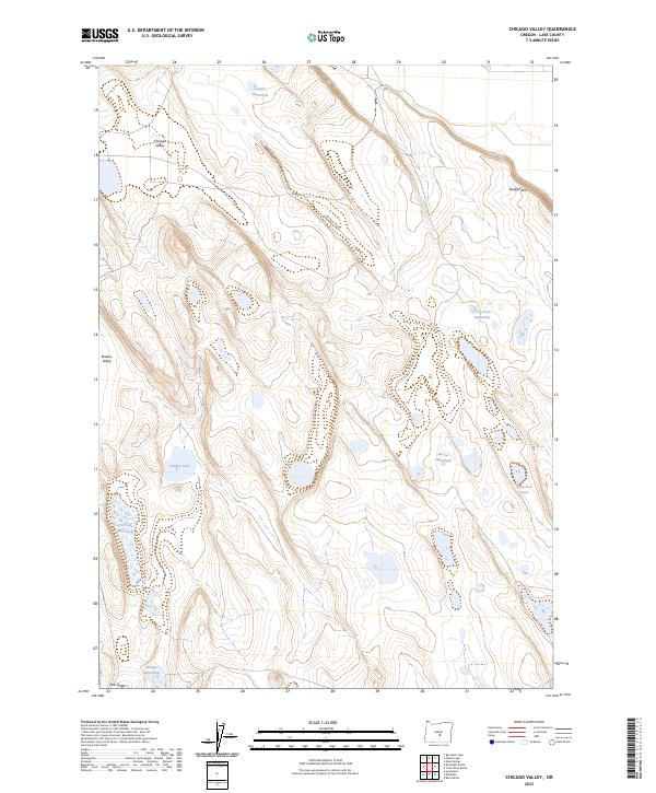
1981 Chicago Valley
Lake County, OR
1981 Cougar Mtn
Lake County, OR
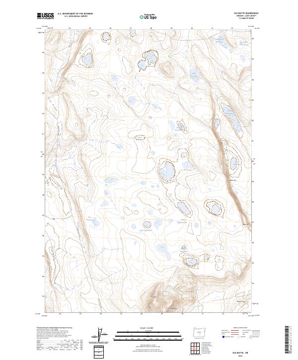
1981 Elk Butte
Lake County, OR
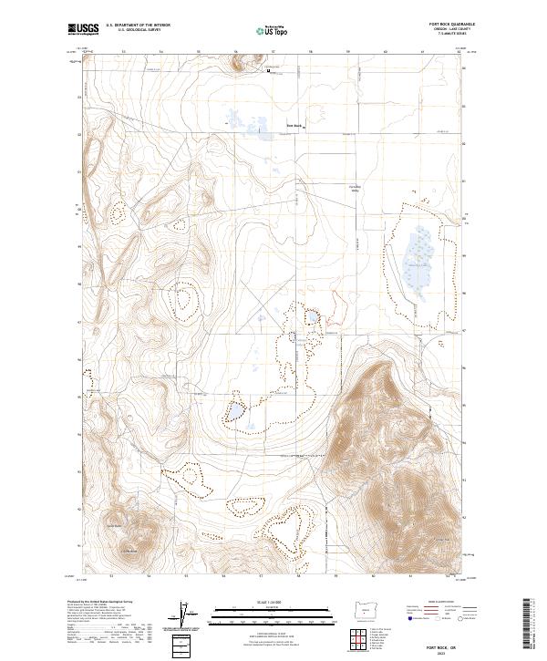
1981 Fort Rock
Lake County, OR
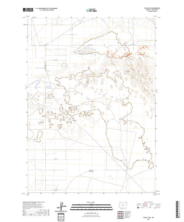
1981 Fossil Lake
Lake County, OR
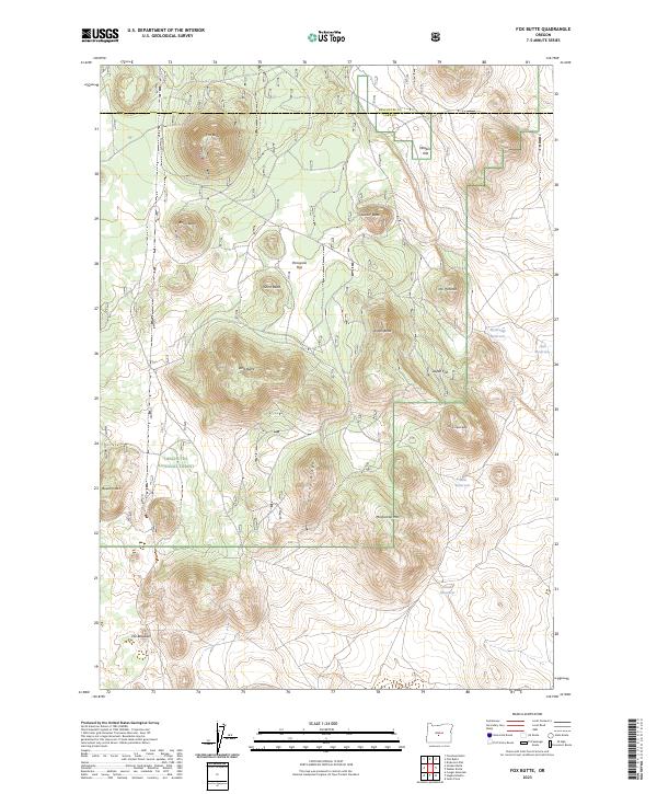
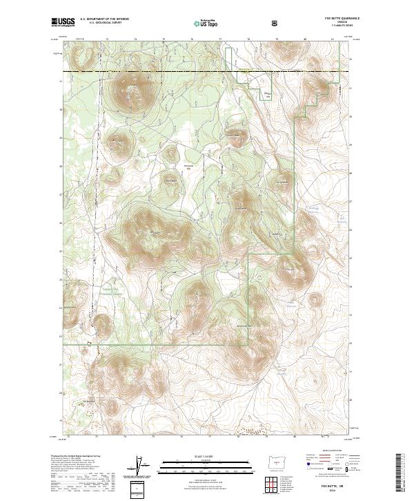
1981 Fox Butte
Lake County, OR
1981 Hat Butte
Lake County, OR
1981 Hogback Butte
Lake County, OR
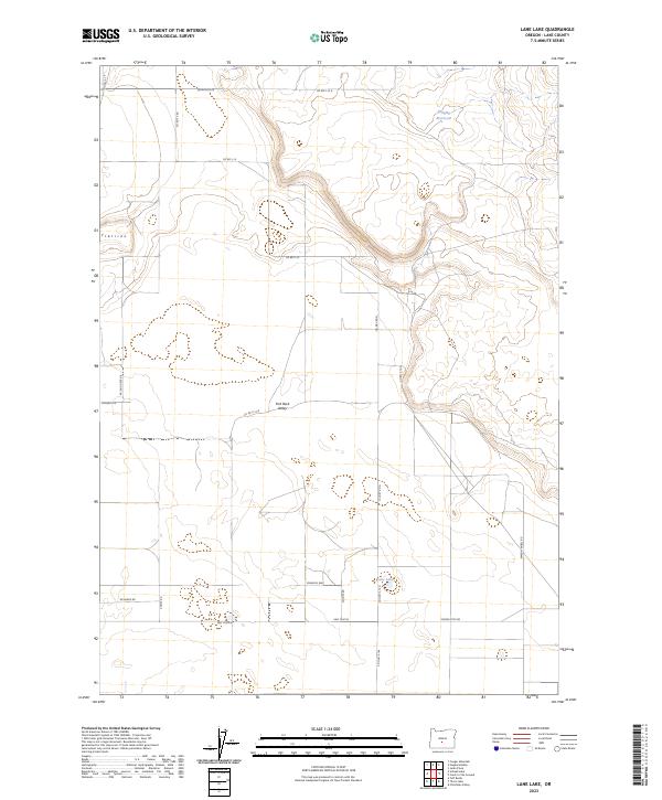
1981 Lane Lake
Lake County, OR
1981 Mean Rock Well
Lake County, OR
1981 Moonlight Butte
Lake County, OR
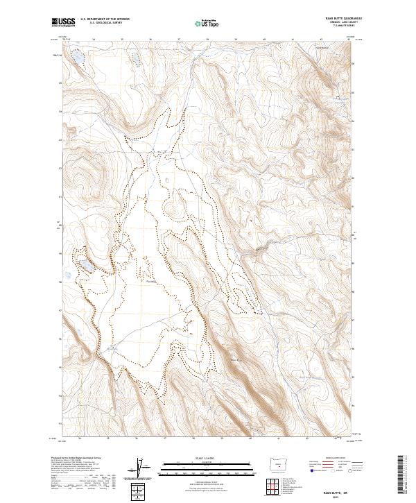
1981 Rams Butte
Lake County, OR
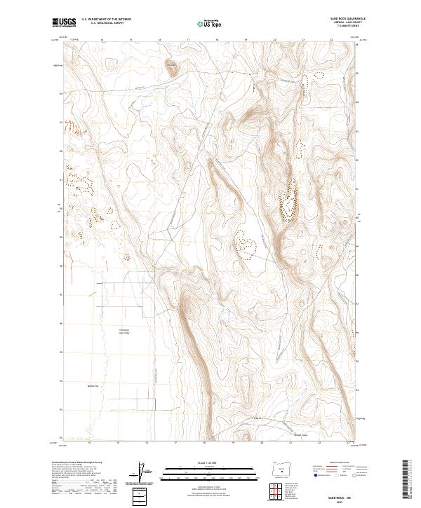
1981 Sand Rock
Lake County, OR
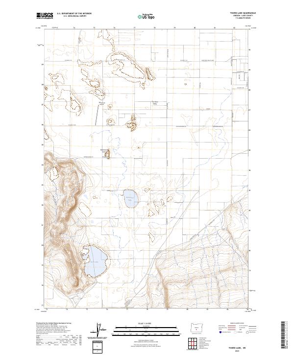
1981 Thorn Lake
Lake County, OR
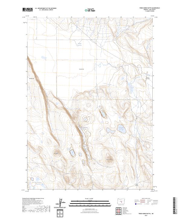
1981 Tired Horse Butte
Lake County, OR
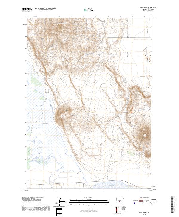
1981 Tuff Butte
Lake County, OR
1981 Wickiup Spring
Lake County, OR
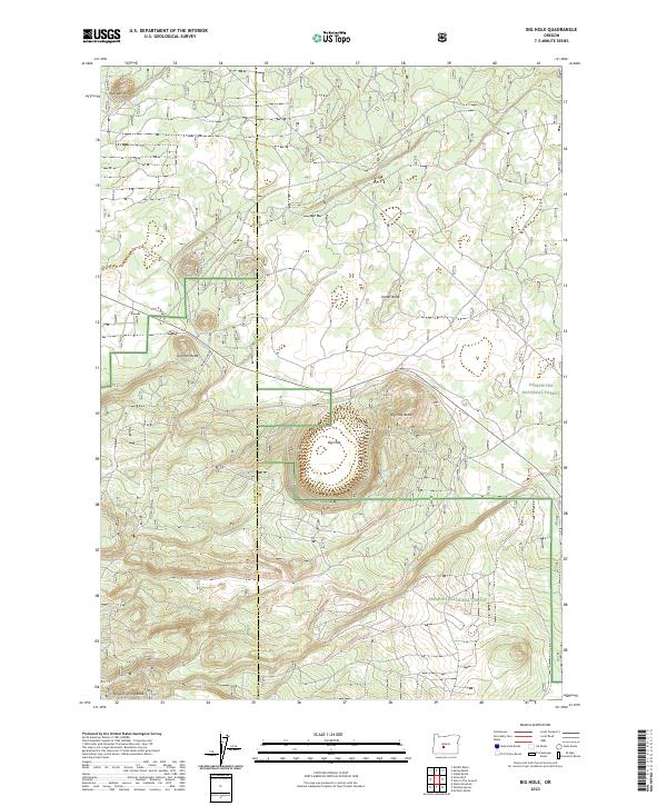
1982 Big Hole
Lake County, OR
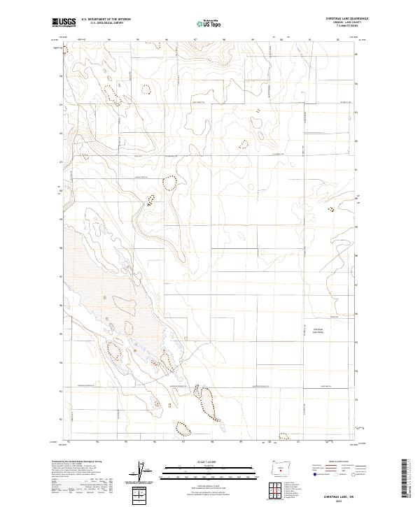
1982 Christmas Lake
Lake County, OR
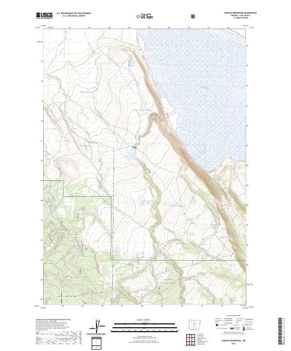
1982 Duncan Reservoir
Lake County, OR

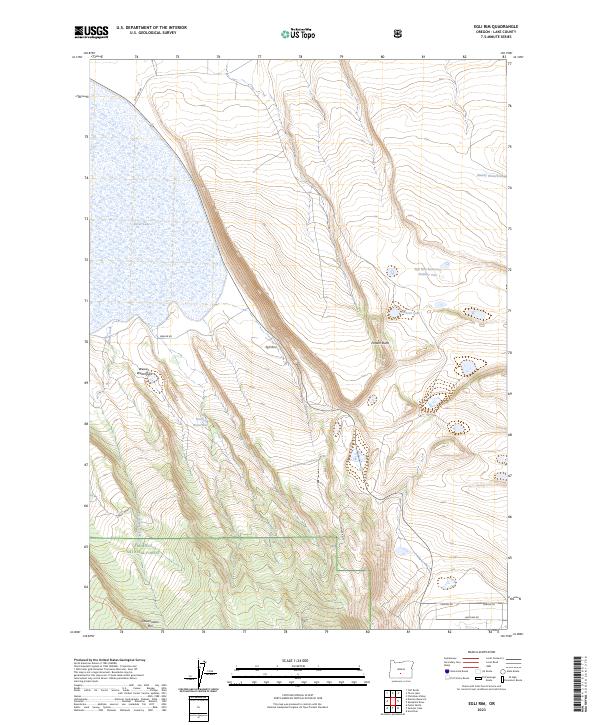
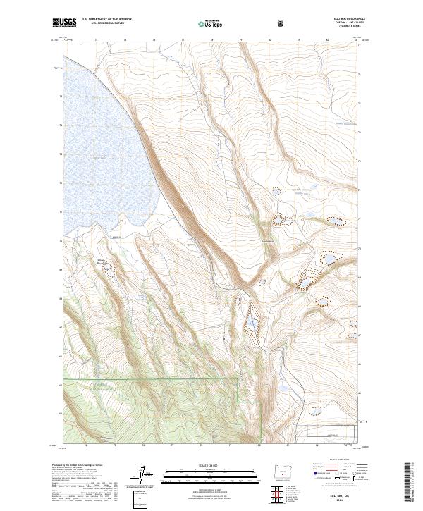
1982 Egli Rim
Lake County, OR
1982 Hole-In-The-Ground
Lake County, OR
1982 Indian Butte
Lake County, OR
1982 Jacks Place
Lake County, OR
1982 Mc Carty Butte
Lake County, OR
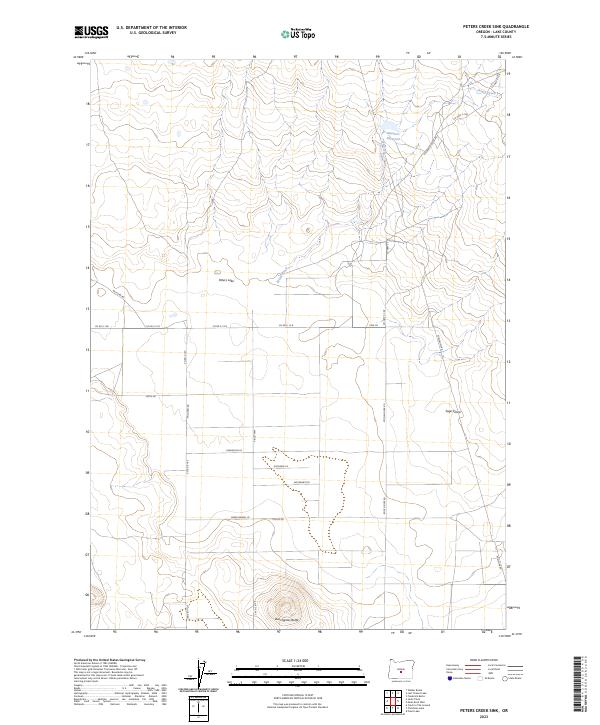
1982 Peters Creek Sink
Lake County, OR
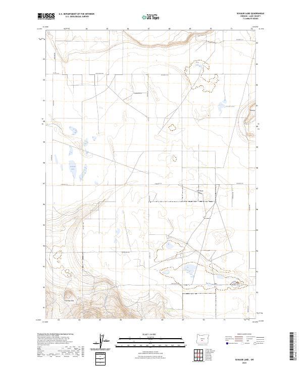
1982 Schaub Lake
Lake County, OR
1982 Sixteen Butte
Lake County, OR
1982 South Ice Cave
Lake County, OR
1983 Benjamin Lake
Lake County, OR
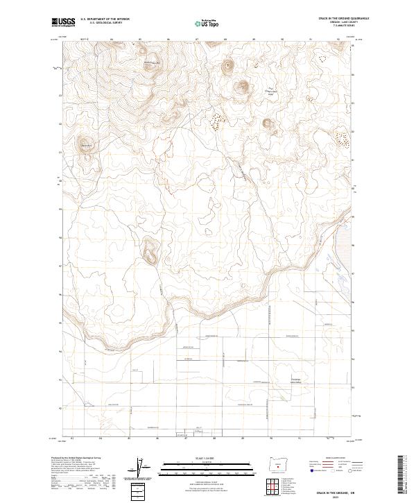
1983 Crack-in-the-Ground
Lake County, OR
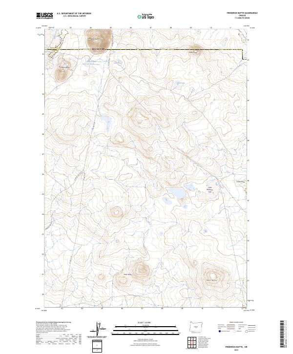
1983 Frederick Butte
Lake County, OR
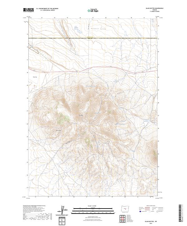
1983 Glass Butte
Lake County, OR
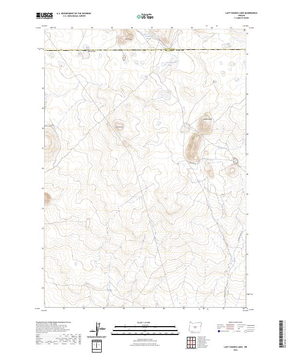
1983 Last Chance Lake
Lake County, OR
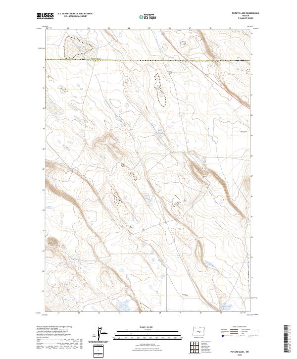
1983 Potato Lake
Lake County, OR
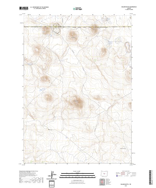
1983 Walker Butte
Lake County, OR
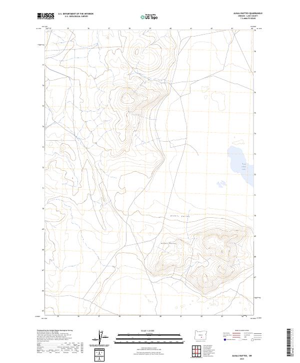
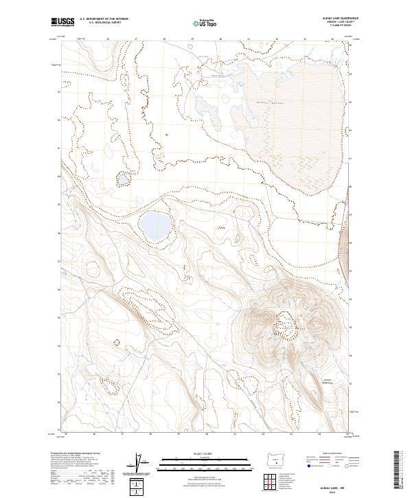
1984 Alkali Buttes
Lake County, OR
1984 Alkali Lake
Lake County, OR
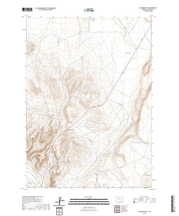
1984 Coleman Hills
Lake County, OR
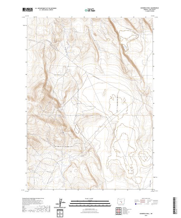
1984 Goodrich Well
Lake County, OR
1984 Horse Mtn
Lake County, OR
1984 Juniper Mtn
Lake County, OR
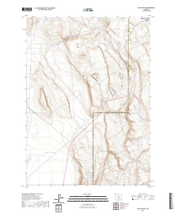
1984 Locust Butte
Lake County, OR
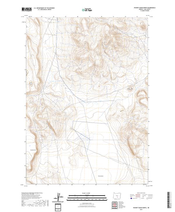
1984 Poverty Basin North
Lake County, OR
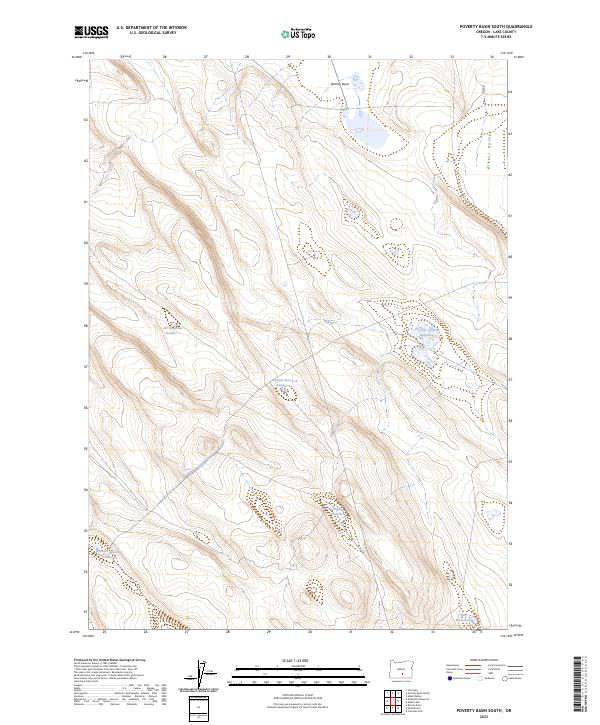
1984 Poverty Basin South
Lake County, OR
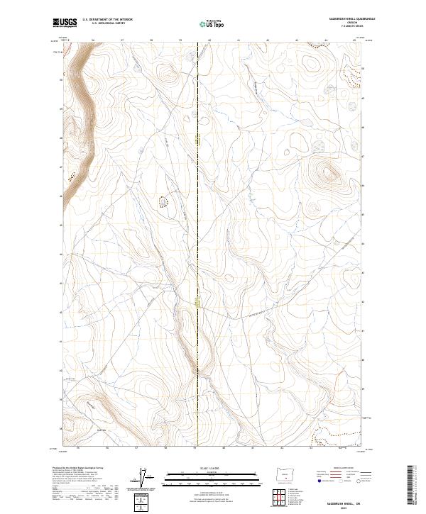
1984 Sagebrush Knoll
Lake County, OR
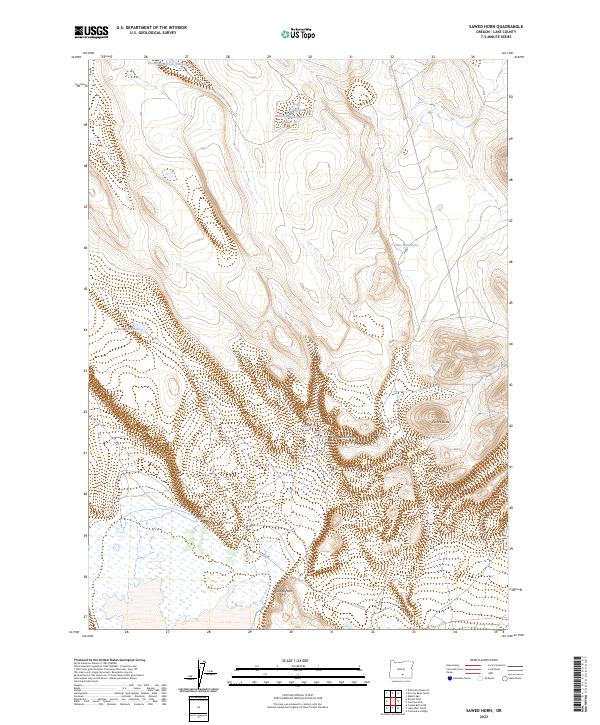
1984 Sawed Horn
Lake County, OR
1984 Venator Canyon
Lake County, OR
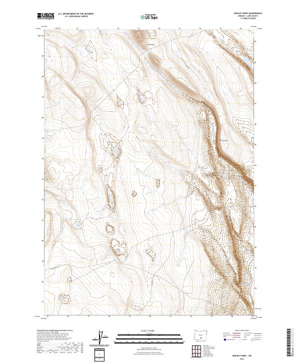
1985 Biscuit Point
Lake County, OR
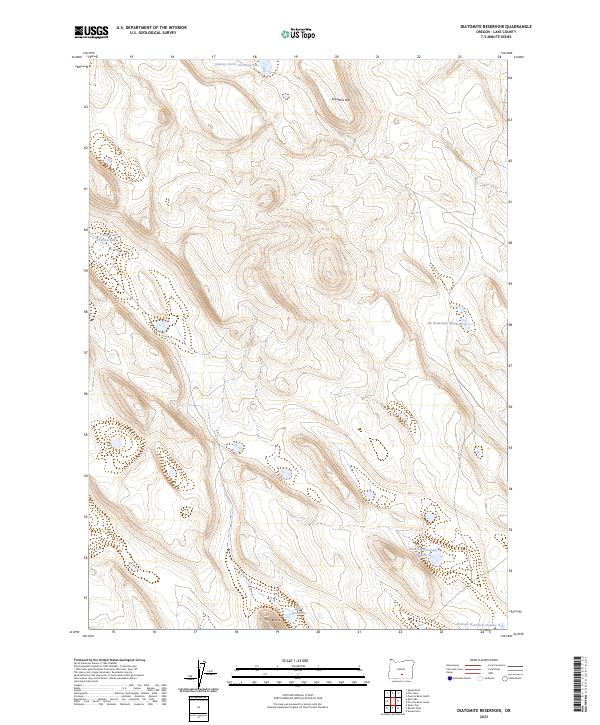
1985 Diatomite Reservoir
Lake County, OR
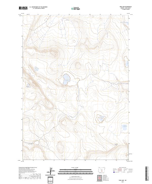
1985 Fire Lake
Lake County, OR
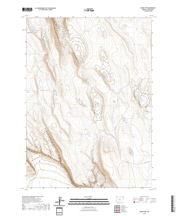
1985 Sharp Top
Lake County, OR
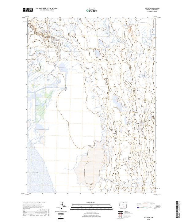
1986 Ana River
Lake County, OR
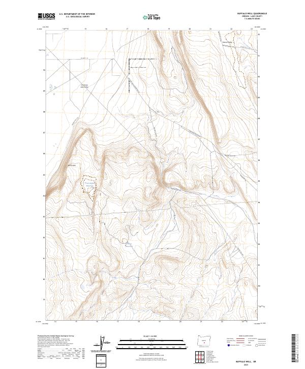
1986 Buffalo Well
Lake County, OR
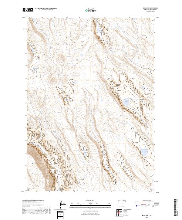
1986 Bull Lake
Lake County, OR
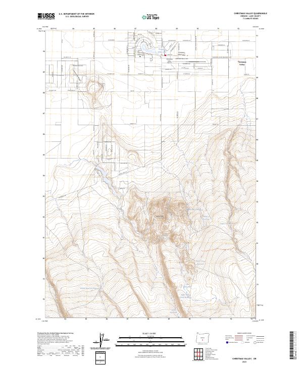
1986 Christmas Valley
Lake County, OR
1986 Christmas Valley
Lake County, OR
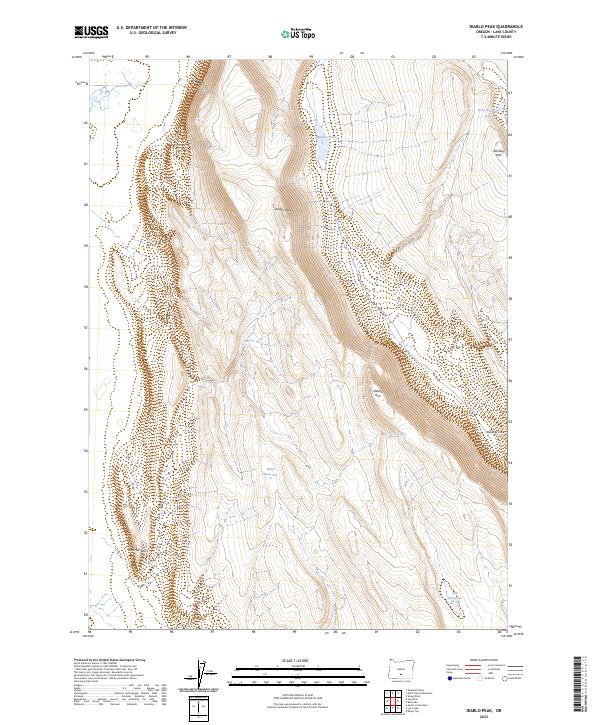
1986 Diablo Peak
Lake County, OR
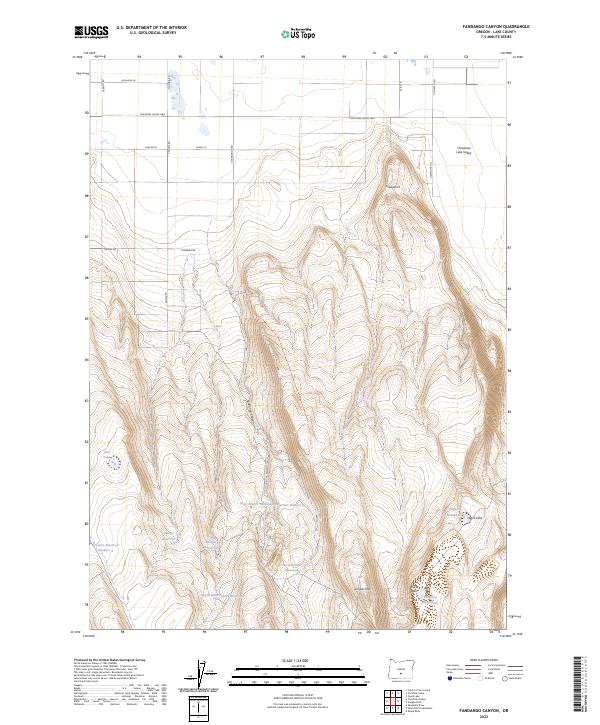
1986 Fandango Canyon
Lake County, OR
1986 Loco Lake
Lake County, OR
1986 Sheeplick Draw
Lake County, OR
1986 Sheep Rock
Lake County, OR
1986 South of Ana River
Lake County, OR
1986 St. Patrick Mtn.
Lake County, OR
1986 Vaughn Well
Lake County, OR
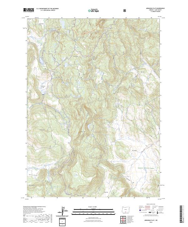
1988 Arkansas Flat
Lake County, OR
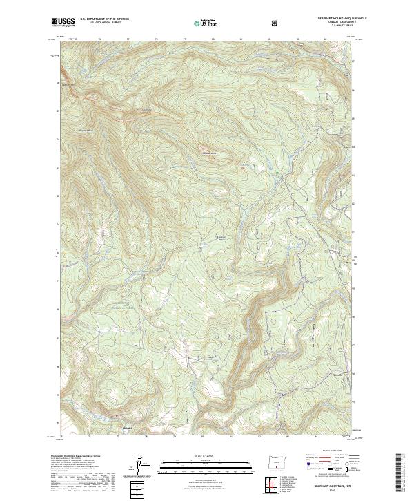
1988 Gearhart Mountain
Lake County, OR
1988 Hamelton Butte
Lake County, OR
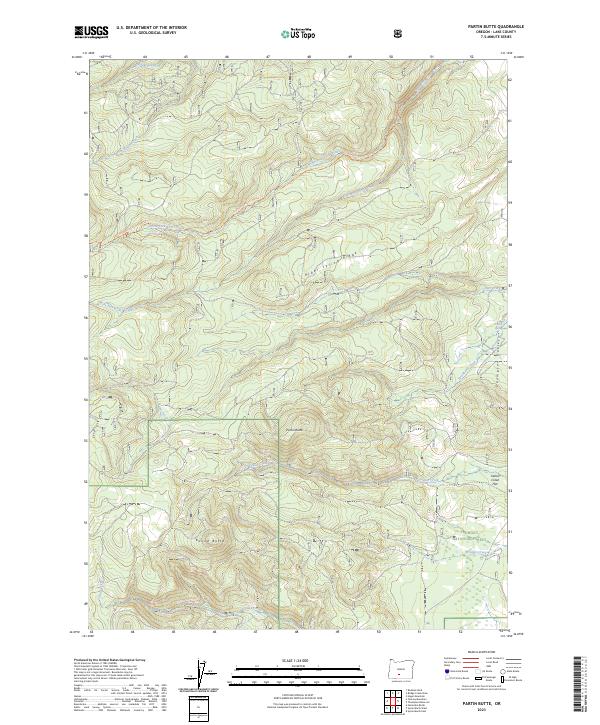
1988 Partin Butte
Lake County, OR
1988 Quartz Valley
Lake County, OR

1988 Strawberry Butte
Lake County, OR
1988 Sycan Marsh East
Lake County, OR
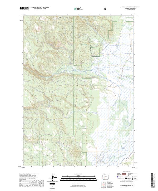
1988 Sycan Marsh West
Lake County, OR
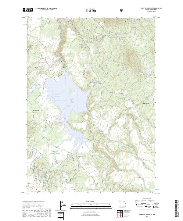
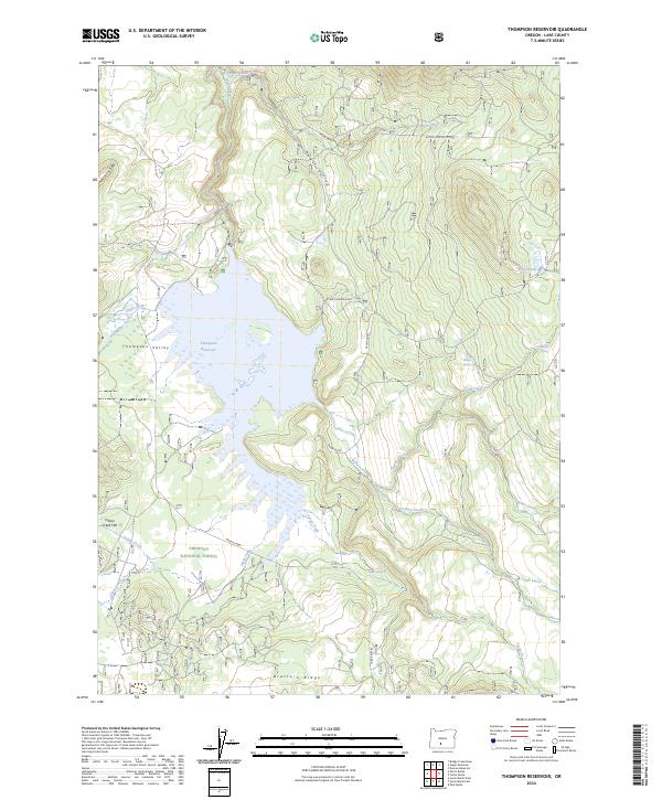
1988 Thompson Reservoir
Lake County, OR
1988 Yamsay Mountain
Lake County, OR
1994 Adel
Lake County, OR
1999 Rodman Rock
Lake County, OR
1999 Yamsay Mountain
Lake County, OR
2004 Antelope Mountain
Lake County, OR
2004 Arkansas Flat
Lake County, OR
2004 Big Baldy
Lake County, OR
2004 Big Hole
Lake County, OR
2004 Bridge Creek Draw
Lake County, OR
2004 Clover Flat
Lake County, OR
2004 Coffeepot Creek
Lake County, OR
2004 Coleman Point
Lake County, OR
2004 Collins Rim
Lake County, OR
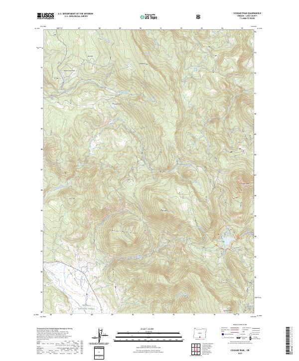
2004 Cougar Peak
Lake County, OR
2004 Cox Flat
Lake County, OR
2004 Crane Creek
Lake County, OR
2004 Crane Mountain
Lake County, OR
2004 Crooked Creek Valley
Lake County, OR
2004 Crook Peak
Lake County, OR
2004 Dog Lake
Lake County, OR
2004 Drake Peak
Lake County, OR
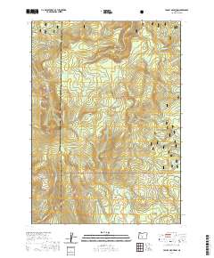
2004 Drews Gap
Lake County, OR
2004 Drews Reservoir
Lake County, OR
2004 Duncan Reservoir
Lake County, OR
2004 Egli Rim
Lake County, OR
2004 Fitzwater Point
Lake County, OR
2004 Foster Butte
Lake County, OR
2004 Fremont Point
Lake County, OR
2004 Gearhart Mountain
Lake County, OR
2004 Hager Mountain
Lake County, OR
2004 Harvey Creek
Lake County, OR
2004 Lakeview Airport
Lake County, OR
2004 Lee Thomas Crossing
Lake County, OR

2004 Little Honey Creek
Lake County, OR
2004 Mc Carty Butte
Lake County, OR
2004 Morgan Butte
Lake County, OR
2004 Oatman Flat
Lake County, OR
2004 Partin Butte
Lake County, OR
2004 Pole Butte
Lake County, OR
2004 Quartz Valley
Lake County, OR
2004 Sage Hen Butte
Lake County, OR
2004 Shoestring Butte
Lake County, OR
2004 Slide Mountain
Lake County, OR
2004 Strawberry Butte
Lake County, OR
2004 Summer Lake
Lake County, OR
2004 Sycan Marsh East
Lake County, OR
2004 Sycan Marsh West
Lake County, OR
2004 Thompson Reservoir
Lake County, OR
2004 Tucker Hill
Lake County, OR
2004 Valley Falls
Lake County, OR
2004 Wickiup Spring
Lake County, OR
2011 Adel
Lake County, OR
2011 Alger Lake
Lake County, OR
2011 Alkali Buttes
Lake County, OR
2011 Alkali Lake
Lake County, OR
2011 Ana River
Lake County, OR
2011 Antelope Butte
Lake County, OR
2011 Antelope Mountain
Lake County, OR
2011 Arkansas Flat
Lake County, OR
2011 Beatys Butte NW
Lake County, OR

2011 Benjamin Lake
Lake County, OR
2011 Big Baldy
Lake County, OR
2011 Big Hole
Lake County, OR
2011 Biscuit Point
Lake County, OR
2011 Blizzard Gap
Lake County, OR
2011 Bluejoint Lake East
Lake County, OR
2011 Bluejoint Lake West
Lake County, OR
2011 Bridge Creek Draw
Lake County, OR
2011 Buffalo Well
Lake County, OR
2011 Bull Lake
Lake County, OR
2011 Cabin Lake
Lake County, OR
2011 Calderwood Reservoir
Lake County, OR
2011 Campbell Lake
Lake County, OR
2011 Chicago Valley
Lake County, OR
2011 Christmas Lake
Lake County, OR
2011 Christmas Valley
Lake County, OR
2011 Clover Flat
Lake County, OR
2011 Coffeepot Creek
Lake County, OR
2011 Coglan Buttes
Lake County, OR
2011 Coglan Buttes NE
Lake County, OR
2011 Coglan Buttes SE
Lake County, OR
2011 Coleman Hills
Lake County, OR
2011 Coleman Lake
Lake County, OR
2011 Coleman Point
Lake County, OR
2011 Collins Rim
Lake County, OR
2011 Commodore Ridge
Lake County, OR
2011 Cooper Draw
Lake County, OR
2011 Cougar Mountain
Lake County, OR
2011 Cougar Peak
Lake County, OR
2011 Cox Flat
Lake County, OR
2011 Crack In The Ground
Lake County, OR
2011 Crane Creek
Lake County, OR
2011 Crane Mountain
Lake County, OR
2011 Crooked Creek Valley
Lake County, OR
2011 Crook Peak
Lake County, OR
2011 Crump Lake
Lake County, OR
2011 Diablo Peak
Lake County, OR
2011 Diatomite Reservoir
Lake County, OR
2011 Dog Lake
Lake County, OR
2011 Drake Peak
Lake County, OR
2011 Drake Peak NE
Lake County, OR
2011 Drews Gap
Lake County, OR
2011 Drews Reservoir
Lake County, OR
2011 Duncan Reservoir
Lake County, OR
2011 Egli Rim
Lake County, OR
2011 Elk Butte
Lake County, OR
2011 Fandango Canyon
Lake County, OR
2011 Fire Lake
Lake County, OR
2011 Fitzwater Point
Lake County, OR
2011 Flagstaff Lake
Lake County, OR
2011 Flook Lake
Lake County, OR
2011 Fort Rock
Lake County, OR
2011 Fossil Lake
Lake County, OR
2011 Foster Butte
Lake County, OR
2011 Fox Butte
Lake County, OR
2011 Frederick Butte
Lake County, OR
2011 Fremont Point
Lake County, OR
2011 Gearhart Mountain
Lake County, OR
2011 Glass Buttes
Lake County, OR
2011 Goodrich Well
Lake County, OR
2011 Guano Lake
Lake County, OR
2011 Hager Mountain
Lake County, OR
2011 Hamelton Butte
Lake County, OR
2011 Hart Lake
Lake County, OR
2011 Harvey Creek
Lake County, OR
2011 Hat Butte
Lake County, OR
2011 Hogback Butte
Lake County, OR
2011 Hole In The Ground
Lake County, OR
2011 Horse Mountain
Lake County, OR
2011 Horse Prairie
Lake County, OR
2011 Indian Butte
Lake County, OR
2011 Jacks Place
Lake County, OR
2011 Jacobs Reservoir
Lake County, OR
2011 Juniper Mountain
Lake County, OR

2011 Lake Abert North
Lake County, OR
2011 Lake Abert South
Lake County, OR
2011 Lakeview Airport
Lake County, OR
2011 Lane Lake
Lake County, OR
2011 Last Chance Lake
Lake County, OR
2011 Lee Thomas Crossing
Lake County, OR
2011 Little Honey Creek
Lake County, OR
2011 Loco Lake
Lake County, OR
2011 Locust Butte
Lake County, OR
2011 Lone Grave Butte
Lake County, OR
2011 May Lake
Lake County, OR
2011 McCarty Butte
Lake County, OR
2011 Mean Rock Well
Lake County, OR
2011 Moonlight Butte
Lake County, OR
2011 Morgan Butte
Lake County, OR
2011 Mud Lake Reservoir
Lake County, OR
2011 Murphy Waterholes
Lake County, OR
2011 Oatman Flat
Lake County, OR
2011 Partin Butte
Lake County, OR
2011 Peters Creek Sink
Lake County, OR
2011 Piute Reservoir
Lake County, OR
2011 Pole Butte
Lake County, OR
2011 Potato Lake
Lake County, OR
2011 Poverty Basin North
Lake County, OR
2011 Poverty Basin South
Lake County, OR
2011 Priday Reservoir
Lake County, OR
2011 Quartz Valley
Lake County, OR
2011 Rabbit Hills NE
Lake County, OR
2011 Rabbit Hills NW
Lake County, OR
2011 Rabbit Hills SW
Lake County, OR
2011 Rams Butte
Lake County, OR
2011 Rocky Canyon
Lake County, OR
2011 Rodman Rock
Lake County, OR
2011 Round Top Butte
Lake County, OR
2011 Sagebrush Knoll
Lake County, OR
2011 Sage Hen Butte
Lake County, OR
2011 Saint Patrick Mountain
Lake County, OR
2011 Sand Rock
Lake County, OR
2011 Sawed Horn
Lake County, OR
2011 Schaub Lake
Lake County, OR
2011 Sharp Top
Lake County, OR
2011 Sheeplick Draw
Lake County, OR
2011 Sheep Rock
Lake County, OR
2011 Shoestring Butte
Lake County, OR
2011 Sixmile Draw
Lake County, OR
2011 Sixteen Butte
Lake County, OR
2011 Slide Mountain
Lake County, OR
2011 South Ice Cave
Lake County, OR
2011 South of Ana River
Lake County, OR
2011 Spring Butte
Lake County, OR
2011 Strawberry Butte
Lake County, OR
2011 Summer Lake
Lake County, OR
2011 Swede Knoll
Lake County, OR
2011 Sycan Marsh East
Lake County, OR
2011 Sycan Marsh West
Lake County, OR
2011 Thompson Reservoir
Lake County, OR
2011 Thorn Lake
Lake County, OR
2011 Tired Horse Butte
Lake County, OR
2011 Tucker Hill
Lake County, OR
2011 Tuff Butte
Lake County, OR
2011 Valley Falls
Lake County, OR
2011 Vaughn Well
Lake County, OR
2011 Venator Canyon
Lake County, OR
2011 Wagontire Mountain West
Lake County, OR
2011 Walker Butte
Lake County, OR
2011 Warner Peak
Lake County, OR
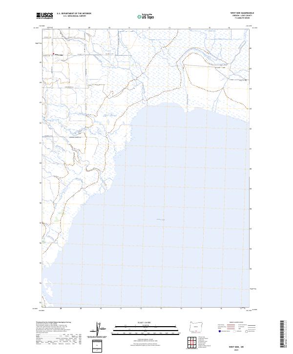
2011 West Side
Lake County, OR
2011 Wickiup Spring
Lake County, OR
2011 Yamsay Mountain
Lake County, OR

2014 Adel
Lake County, OR
2014 Alger Lake
Lake County, OR
2014 Alkali Buttes
Lake County, OR
2014 Alkali Lake
Lake County, OR
2014 Ana River
Lake County, OR
2014 Antelope Butte
Lake County, OR
2014 Antelope Mountain
Lake County, OR
2014 Arkansas Flat
Lake County, OR
2014 Beatys Butte NW
Lake County, OR
2014 Benjamin Lake
Lake County, OR

2014 Big Baldy
Lake County, OR
2014 Big Hole
Lake County, OR
2014 Biscuit Point
Lake County, OR
2014 Blizzard Gap
Lake County, OR

2014 Bluejoint Lake East
Lake County, OR
2014 Bluejoint Lake West
Lake County, OR
2014 Bridge Creek Draw
Lake County, OR

2014 Buffalo Well
Lake County, OR
2014 Bull Lake
Lake County, OR
2014 Cabin Lake
Lake County, OR

2014 Calderwood Reservoir
Lake County, OR

2014 Campbell Lake
Lake County, OR
2014 Chicago Valley
Lake County, OR
2014 Christmas Lake
Lake County, OR
2014 Christmas Valley
Lake County, OR
2014 Clover Flat
Lake County, OR
2014 Coffeepot Creek
Lake County, OR
2014 Coglan Buttes
Lake County, OR
2014 Coglan Buttes NE
Lake County, OR
2014 Coglan Buttes SE
Lake County, OR
2014 Coleman Hills
Lake County, OR
2014 Coleman Lake
Lake County, OR
2014 Coleman Point
Lake County, OR
2014 Collins Rim
Lake County, OR
2014 Commodore Ridge
Lake County, OR
2014 Cooper Draw
Lake County, OR
2014 Cougar Mountain
Lake County, OR
2014 Cougar Peak
Lake County, OR
2014 Cox Flat
Lake County, OR
2014 Crack In The Ground
Lake County, OR
2014 Crane Creek
Lake County, OR
2014 Crane Mountain
Lake County, OR
2014 Crooked Creek Valley
Lake County, OR
2014 Crook Peak
Lake County, OR
2014 Crump Lake
Lake County, OR
2014 Diablo Peak
Lake County, OR
2014 Diatomite Reservoir
Lake County, OR
2014 Dog Lake
Lake County, OR
2014 Drake Peak
Lake County, OR
2014 Drake Peak NE
Lake County, OR
2014 Drews Gap
Lake County, OR
2014 Drews Reservoir
Lake County, OR

2014 Duncan Reservoir
Lake County, OR
2014 Egli Rim
Lake County, OR
2014 Elk Butte
Lake County, OR
2014 Fandango Canyon
Lake County, OR
2014 Fire Lake
Lake County, OR
2014 Fitzwater Point
Lake County, OR
2014 Flagstaff Lake
Lake County, OR

2014 Flook Lake
Lake County, OR
2014 Fort Rock
Lake County, OR
2014 Fossil Lake
Lake County, OR
2014 Foster Butte
Lake County, OR
2014 Fox Butte
Lake County, OR
2014 Frederick Butte
Lake County, OR
2014 Fremont Point
Lake County, OR
2014 Gearhart Mountain
Lake County, OR
2014 Glass Buttes
Lake County, OR
2014 Goodrich Well
Lake County, OR
2014 Guano Lake
Lake County, OR
2014 Hager Mountain
Lake County, OR
2014 Hamelton Butte
Lake County, OR
2014 Hart Lake
Lake County, OR
2014 Harvey Creek
Lake County, OR

2014 Hat Butte
Lake County, OR

2014 Hogback Butte
Lake County, OR
2014 Hole In The Ground
Lake County, OR

2014 Horse Mountain
Lake County, OR
2014 Horse Prairie
Lake County, OR
2014 Indian Butte
Lake County, OR

2014 Jacks Place
Lake County, OR
2014 Jacobs Reservoir
Lake County, OR
2014 Juniper Mountain
Lake County, OR
2014 Lake Abert North
Lake County, OR

2014 Lake Abert South
Lake County, OR
2014 Lakeview Airport
Lake County, OR
2014 Lane Lake
Lake County, OR
2014 Last Chance Lake
Lake County, OR
2014 Lee Thomas Crossing
Lake County, OR
2014 Little Honey Creek
Lake County, OR
2014 Loco Lake
Lake County, OR
2014 Locust Butte
Lake County, OR
2014 Lone Grave Butte
Lake County, OR

2014 May Lake
Lake County, OR
2014 McCarty Butte
Lake County, OR

2014 Mean Rock Well
Lake County, OR
2014 Moonlight Butte
Lake County, OR
2014 Morgan Butte
Lake County, OR
2014 Mud Lake Reservoir
Lake County, OR

2014 Murphy Waterholes
Lake County, OR
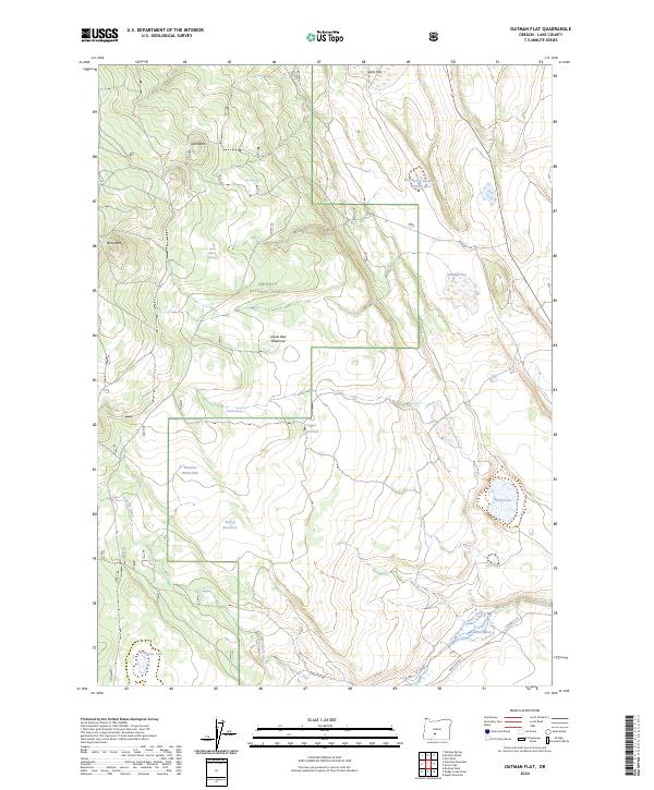
2014 Oatman Flat
Lake County, OR
2014 Partin Butte
Lake County, OR
2014 Peters Creek Sink
Lake County, OR
2014 Piute Reservoir
Lake County, OR
2014 Pole Butte
Lake County, OR
2014 Potato Lake
Lake County, OR
2014 Poverty Basin North
Lake County, OR
2014 Poverty Basin South
Lake County, OR
2014 Priday Reservoir
Lake County, OR
2014 Quartz Valley
Lake County, OR
2014 Rabbit Hills NE
Lake County, OR
2014 Rabbit Hills NW
Lake County, OR
2014 Rabbit Hills SW
Lake County, OR
2014 Rams Butte
Lake County, OR

2014 Rocky Canyon
Lake County, OR
2014 Rodman Rock
Lake County, OR
2014 Round Top Butte
Lake County, OR
2014 Sagebrush Knoll
Lake County, OR
2014 Sage Hen Butte
Lake County, OR
2014 Saint Patrick Mountain
Lake County, OR
2014 Sand Rock
Lake County, OR
2014 Sawed Horn
Lake County, OR
2014 Schaub Lake
Lake County, OR
2014 Sharp Top
Lake County, OR

2014 Sheeplick Draw
Lake County, OR
2014 Sheep Rock
Lake County, OR
2014 Shoestring Butte
Lake County, OR
2014 Sixmile Draw
Lake County, OR
2014 Sixteen Butte
Lake County, OR
2014 Slide Mountain
Lake County, OR
2014 South Ice Cave
Lake County, OR
2014 South of Ana River
Lake County, OR
2014 Spring Butte
Lake County, OR
2014 Strawberry Butte
Lake County, OR

2014 Summer Lake
Lake County, OR
2014 Swede Knoll
Lake County, OR
2014 Sycan Marsh East
Lake County, OR
2014 Sycan Marsh West
Lake County, OR
2014 Thompson Reservoir
Lake County, OR
2014 Thorn Lake
Lake County, OR

2014 Tired Horse Butte
Lake County, OR
2014 Tucker Hill
Lake County, OR
2014 Tuff Butte
Lake County, OR
2014 Valley Falls
Lake County, OR
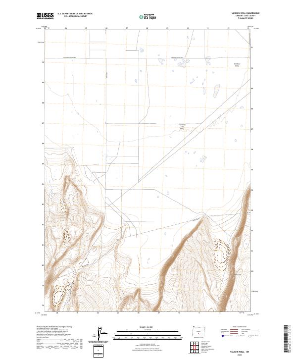
2014 Vaughn Well
Lake County, OR
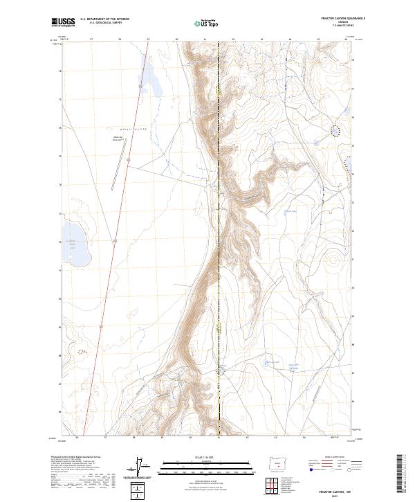
2014 Venator Canyon
Lake County, OR
2014 Wagontire Mountain West
Lake County, OR
2014 Walker Butte
Lake County, OR
2014 Warner Peak
Lake County, OR
2014 West Side
Lake County, OR
2014 Wickiup Spring
Lake County, OR
2014 Yamsay Mountain
Lake County, OR
2017 Adel
Lake County, OR

2017 Alger Lake
Lake County, OR
2017 Alkali Buttes
Lake County, OR

2017 Alkali Lake
Lake County, OR
2017 Ana River
Lake County, OR
2017 Antelope Butte
Lake County, OR
2017 Antelope Mountain
Lake County, OR
2017 Arkansas Flat
Lake County, OR
2017 Beatys Butte NW
Lake County, OR
2017 Benjamin Lake
Lake County, OR
2017 Big Baldy
Lake County, OR
2017 Big Hole
Lake County, OR
2017 Biscuit Point
Lake County, OR

2017 Blizzard Gap
Lake County, OR
2017 Bluejoint Lake East
Lake County, OR
2017 Bluejoint Lake West
Lake County, OR
2017 Bridge Creek Draw
Lake County, OR
2017 Buffalo Well
Lake County, OR
2017 Bull Lake
Lake County, OR
2017 Cabin Lake
Lake County, OR
2017 Calderwood Reservoir
Lake County, OR
2017 Campbell Lake
Lake County, OR
2017 Chicago Valley
Lake County, OR
2017 Christmas Lake
Lake County, OR
2017 Christmas Valley
Lake County, OR
2017 Clover Flat
Lake County, OR
2017 Coffeepot Creek
Lake County, OR
2017 Coglan Buttes
Lake County, OR
2017 Coglan Buttes NE
Lake County, OR

2017 Coglan Buttes SE
Lake County, OR
2017 Coleman Hills
Lake County, OR

2017 Coleman Lake
Lake County, OR
2017 Coleman Point
Lake County, OR

2017 Collins Rim
Lake County, OR
2017 Commodore Ridge
Lake County, OR
2017 Cooper Draw
Lake County, OR
2017 Cougar Mountain
Lake County, OR
2017 Cougar Peak
Lake County, OR
2017 Cox Flat
Lake County, OR
2017 Crack In The Ground
Lake County, OR
2017 Crane Creek
Lake County, OR
2017 Crane Mountain
Lake County, OR

2017 Crooked Creek Valley
Lake County, OR
2017 Crook Peak
Lake County, OR
2017 Crump Lake
Lake County, OR
2017 Diablo Peak
Lake County, OR
2017 Diatomite Reservoir
Lake County, OR

2017 Dog Lake
Lake County, OR

2017 Drake Peak
Lake County, OR

2017 Drake Peak NE
Lake County, OR

2017 Drews Gap
Lake County, OR
2017 Drews Reservoir
Lake County, OR
2017 Duncan Reservoir
Lake County, OR
2017 Egli Rim
Lake County, OR
2017 Elk Butte
Lake County, OR
2017 Fandango Canyon
Lake County, OR
2017 Fire Lake
Lake County, OR
2017 Fitzwater Point
Lake County, OR
2017 Flagstaff Lake
Lake County, OR
2017 Flook Lake
Lake County, OR

2017 Fort Rock
Lake County, OR
2017 Fossil Lake
Lake County, OR
2017 Foster Butte
Lake County, OR
2017 Fox Butte
Lake County, OR
2017 Frederick Butte
Lake County, OR
2017 Fremont Point
Lake County, OR
2017 Gearhart Mountain
Lake County, OR
2017 Glass Buttes
Lake County, OR
2017 Goodrich Well
Lake County, OR
2017 Guano Lake
Lake County, OR
2017 Hager Mountain
Lake County, OR
2017 Hamelton Butte
Lake County, OR
2017 Hart Lake
Lake County, OR
2017 Harvey Creek
Lake County, OR
2017 Hat Butte
Lake County, OR
2017 Hogback Butte
Lake County, OR
2017 Hole In The Ground
Lake County, OR
2017 Horse Mountain
Lake County, OR
2017 Horse Prairie
Lake County, OR
2017 Indian Butte
Lake County, OR
2017 Jacks Place
Lake County, OR

2017 Jacobs Reservoir
Lake County, OR
2017 Juniper Mountain
Lake County, OR
2017 Lake Abert North
Lake County, OR
2017 Lake Abert South
Lake County, OR
2017 Lakeview Airport
Lake County, OR
2017 Lane Lake
Lake County, OR
2017 Last Chance Lake
Lake County, OR
2017 Lee Thomas Crossing
Lake County, OR
2017 Little Honey Creek
Lake County, OR
2017 Loco Lake
Lake County, OR
2017 Locust Butte
Lake County, OR

2017 Lone Grave Butte
Lake County, OR
2017 May Lake
Lake County, OR
2017 McCarty Butte
Lake County, OR
2017 Mean Rock Well
Lake County, OR

2017 Moonlight Butte
Lake County, OR
2017 Morgan Butte
Lake County, OR

2017 Mud Lake Reservoir
Lake County, OR
2017 Murphy Waterholes
Lake County, OR
2017 Oatman Flat
Lake County, OR
2017 Partin Butte
Lake County, OR
2017 Peters Creek Sink
Lake County, OR

2017 Piute Reservoir
Lake County, OR
2017 Pole Butte
Lake County, OR
2017 Potato Lake
Lake County, OR
2017 Poverty Basin North
Lake County, OR

2017 Poverty Basin South
Lake County, OR
2017 Priday Reservoir
Lake County, OR
2017 Quartz Valley
Lake County, OR
2017 Rabbit Hills NE
Lake County, OR
2017 Rabbit Hills NW
Lake County, OR
2017 Rabbit Hills SW
Lake County, OR

2017 Rams Butte
Lake County, OR
2017 Rocky Canyon
Lake County, OR
2017 Rodman Rock
Lake County, OR
2017 Round Top Butte
Lake County, OR
2017 Sagebrush Knoll
Lake County, OR
2017 Sage Hen Butte
Lake County, OR
2017 Saint Patrick Mountain
Lake County, OR
2017 Sand Rock
Lake County, OR
2017 Sawed Horn
Lake County, OR
2017 Schaub Lake
Lake County, OR
2017 Sharp Top
Lake County, OR

2017 Sheeplick Draw
Lake County, OR
2017 Sheep Rock
Lake County, OR
2017 Shoestring Butte
Lake County, OR
2017 Sixmile Draw
Lake County, OR
2017 Sixteen Butte
Lake County, OR
2017 Slide Mountain
Lake County, OR
2017 South Ice Cave
Lake County, OR
2017 South of Ana River
Lake County, OR
2017 Spring Butte
Lake County, OR
2017 Strawberry Butte
Lake County, OR
2017 Summer Lake
Lake County, OR
2017 Swede Knoll
Lake County, OR
2017 Sycan Marsh East
Lake County, OR
2017 Sycan Marsh West
Lake County, OR
2017 Thompson Reservoir
Lake County, OR
2017 Thorn Lake
Lake County, OR
2017 Tired Horse Butte
Lake County, OR
2017 Tucker Hill
Lake County, OR
2017 Tuff Butte
Lake County, OR
2017 Valley Falls
Lake County, OR
2017 Vaughn Well
Lake County, OR
2017 Venator Canyon
Lake County, OR
2017 Wagontire Mountain West
Lake County, OR
2017 Walker Butte
Lake County, OR
2017 Warner Peak
Lake County, OR
2017 West Side
Lake County, OR
2017 Wickiup Spring
Lake County, OR
2017 Yamsay Mountain
Lake County, OR
2020 Adel
Lake County, OR
2020 Alger Lake
Lake County, OR
2020 Alkali Buttes
Lake County, OR
2020 Alkali Lake
Lake County, OR
2020 Ana River
Lake County, OR
2020 Antelope Butte
Lake County, OR
2020 Antelope Mountain
Lake County, OR
2020 Arkansas Flat
Lake County, OR
2020 Beatys Butte NW
Lake County, OR
2020 Benjamin Lake
Lake County, OR
2020 Big Baldy
Lake County, OR
2020 Big Hole
Lake County, OR
2020 Biscuit Point
Lake County, OR
2020 Blizzard Gap
Lake County, OR
2020 Bluejoint Lake East
Lake County, OR
2020 Bluejoint Lake West
Lake County, OR
2020 Bridge Creek Draw
Lake County, OR
2020 Buffalo Well
Lake County, OR
2020 Bull Lake
Lake County, OR
2020 Cabin Lake
Lake County, OR
2020 Calderwood Reservoir
Lake County, OR
2020 Campbell Lake
Lake County, OR
2020 Chicago Valley
Lake County, OR
2020 Christmas Lake
Lake County, OR
2020 Christmas Valley
Lake County, OR
2020 Clover Flat
Lake County, OR
2020 Coffeepot Creek
Lake County, OR
2020 Coglan Buttes
Lake County, OR
2020 Coglan Buttes NE
Lake County, OR
2020 Coglan Buttes SE
Lake County, OR
2020 Coleman Hills
Lake County, OR
2020 Coleman Lake
Lake County, OR
2020 Coleman Point
Lake County, OR
2020 Collins Rim
Lake County, OR

2020 Commodore Ridge
Lake County, OR
2020 Cooper Draw
Lake County, OR
2020 Cougar Mountain
Lake County, OR
2020 Cougar Peak
Lake County, OR
2020 Cox Flat
Lake County, OR
2020 Crack In The Ground
Lake County, OR
2020 Crane Creek
Lake County, OR
2020 Crane Mountain
Lake County, OR
2020 Crooked Creek Valley
Lake County, OR
2020 Crook Peak
Lake County, OR
2020 Crump Lake
Lake County, OR
2020 Diablo Peak
Lake County, OR
2020 Diatomite Reservoir
Lake County, OR
2020 Dog Lake
Lake County, OR
2020 Drake Peak
Lake County, OR
2020 Drake Peak NE
Lake County, OR
2020 Drews Gap
Lake County, OR
2020 Drews Reservoir
Lake County, OR
2020 Duncan Reservoir
Lake County, OR
2020 Egli Rim
Lake County, OR
2020 Elk Butte
Lake County, OR
2020 Fandango Canyon
Lake County, OR
2020 Fire Lake
Lake County, OR
2020 Fitzwater Point
Lake County, OR
2020 Flagstaff Lake
Lake County, OR
2020 Flook Lake
Lake County, OR
2020 Fort Rock
Lake County, OR
2020 Fossil Lake
Lake County, OR
2020 Foster Butte
Lake County, OR
2020 Fox Butte
Lake County, OR
2020 Frederick Butte
Lake County, OR
2020 Fremont Point
Lake County, OR
2020 Gearhart Mountain
Lake County, OR
2020 Glass Buttes
Lake County, OR
2020 Goodrich Well
Lake County, OR
2020 Guano Lake
Lake County, OR
2020 Hager Mountain
Lake County, OR
2020 Hamelton Butte
Lake County, OR
2020 Hart Lake
Lake County, OR
2020 Harvey Creek
Lake County, OR
2020 Hat Butte
Lake County, OR
2020 Hogback Butte
Lake County, OR
2020 Hole In The Ground
Lake County, OR
2020 Horse Mountain
Lake County, OR
2020 Horse Prairie
Lake County, OR
2020 Indian Butte
Lake County, OR
2020 Jacks Place
Lake County, OR
2020 Jacobs Reservoir
Lake County, OR
2020 Juniper Mountain
Lake County, OR

2020 Lake Abert North
Lake County, OR
2020 Lake Abert South
Lake County, OR
2020 Lakeview Airport
Lake County, OR
2020 Lane Lake
Lake County, OR
2020 Last Chance Lake
Lake County, OR
2020 Lee Thomas Crossing
Lake County, OR
2020 Little Honey Creek
Lake County, OR
2020 Loco Lake
Lake County, OR
2020 Locust Butte
Lake County, OR
2020 Lone Grave Butte
Lake County, OR
2020 May Lake
Lake County, OR
2020 McCarty Butte
Lake County, OR
2020 Mean Rock Well
Lake County, OR
2020 Moonlight Butte
Lake County, OR
2020 Morgan Butte
Lake County, OR
2020 Mud Lake Reservoir
Lake County, OR
2020 Murphy Waterholes
Lake County, OR
2020 Oatman Flat
Lake County, OR
2020 Partin Butte
Lake County, OR
2020 Peters Creek Sink
Lake County, OR
2020 Piute Reservoir
Lake County, OR
2020 Pole Butte
Lake County, OR
2020 Potato Lake
Lake County, OR
2020 Poverty Basin North
Lake County, OR
2020 Poverty Basin South
Lake County, OR
2020 Priday Reservoir
Lake County, OR
2020 Quartz Valley
Lake County, OR
2020 Rabbit Hills NE
Lake County, OR
2020 Rabbit Hills NW
Lake County, OR
2020 Rabbit Hills SW
Lake County, OR
2020 Rams Butte
Lake County, OR
2020 Rocky Canyon
Lake County, OR
2020 Rodman Rock
Lake County, OR
2020 Round Top Butte
Lake County, OR
2020 Sagebrush Knoll
Lake County, OR
2020 Sage Hen Butte
Lake County, OR
2020 Saint Patrick Mountain
Lake County, OR
2020 Sand Rock
Lake County, OR
2020 Sawed Horn
Lake County, OR
2020 Schaub Lake
Lake County, OR
2020 Sharp Top
Lake County, OR
2020 Sheeplick Draw
Lake County, OR
2020 Sheep Rock
Lake County, OR
2020 Shoestring Butte
Lake County, OR
2020 Sixmile Draw
Lake County, OR
2020 Sixteen Butte
Lake County, OR
2020 Slide Mountain
Lake County, OR
2020 South Ice Cave
Lake County, OR
2020 South of Ana River
Lake County, OR
2020 Spring Butte
Lake County, OR
2020 Strawberry Butte
Lake County, OR
2020 Summer Lake
Lake County, OR
2020 Swede Knoll
Lake County, OR
2020 Sycan Marsh East
Lake County, OR
2020 Sycan Marsh West
Lake County, OR
2020 Thompson Reservoir
Lake County, OR
2020 Thorn Lake
Lake County, OR
2020 Tired Horse Butte
Lake County, OR
2020 Tucker Hill
Lake County, OR
2020 Tuff Butte
Lake County, OR
2020 Valley Falls
Lake County, OR
2020 Vaughn Well
Lake County, OR
2020 Venator Canyon
Lake County, OR
2020 Wagontire Mountain West
Lake County, OR
2020 Walker Butte
Lake County, OR
2020 Warner Peak
Lake County, OR
2020 West Side
Lake County, OR
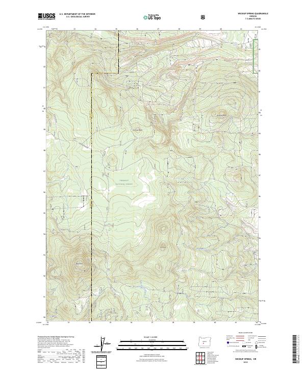
2020 Wickiup Spring
Lake County, OR
2020 Yamsay Mountain
Lake County, OR
2023 Adel
Lake County, OR
2023 Alkali Buttes
Lake County, OR
2023 Ana River
Lake County, OR
2023 Antelope Butte
Lake County, OR
2023 Antelope Mountain
Lake County, OR
2023 Arkansas Flat
Lake County, OR
2023 Beatys Butte NW
Lake County, OR
2023 Benjamin Lake
Lake County, OR
2023 Big Baldy
Lake County, OR
2023 Big Hole
Lake County, OR
2023 Biscuit Point
Lake County, OR
2023 Bridge Creek Draw
Lake County, OR
2023 Buffalo Well
Lake County, OR
2023 Bull Lake
Lake County, OR
2023 Cabin Lake
Lake County, OR
2023 Campbell Lake
Lake County, OR
2023 Chicago Valley
Lake County, OR
2023 Christmas Lake
Lake County, OR
2023 Christmas Valley
Lake County, OR
2023 Clover Flat
Lake County, OR
2023 Coffeepot Creek
Lake County, OR
2023 Coglan Buttes
Lake County, OR
2023 Coglan Buttes NE
Lake County, OR
2023 Coglan Buttes SE
Lake County, OR
2023 Coleman Hills
Lake County, OR
2023 Coleman Point
Lake County, OR
2023 Collins Rim
Lake County, OR
2023 Commodore Ridge
Lake County, OR
2023 Cooper Draw
Lake County, OR
2023 Cougar Mountain
Lake County, OR
2023 Cougar Peak
Lake County, OR
2023 Cox Flat
Lake County, OR
2023 Crack In The Ground
Lake County, OR
2023 Crane Mountain
Lake County, OR

2023 Crooked Creek Valley
Lake County, OR
2023 Crook Peak
Lake County, OR
2023 Diablo Peak
Lake County, OR
2023 Diatomite Reservoir
Lake County, OR
2023 Dog Lake
Lake County, OR
2023 Drake Peak
Lake County, OR
2023 Drake Peak NE
Lake County, OR
2023 Drews Gap
Lake County, OR
2023 Egli Rim
Lake County, OR
2023 Elk Butte
Lake County, OR
2023 Fandango Canyon
Lake County, OR
2023 Fire Lake
Lake County, OR
2023 Fitzwater Point
Lake County, OR
2023 Flook Lake
Lake County, OR
2023 Fort Rock
Lake County, OR
2023 Fossil Lake
Lake County, OR
2023 Foster Butte
Lake County, OR
2023 Fox Butte
Lake County, OR
2023 Frederick Butte
Lake County, OR
2023 Gearhart Mountain
Lake County, OR
2023 Glass Buttes
Lake County, OR
2023 Goodrich Well
Lake County, OR
2023 Guano Lake
Lake County, OR
2023 Hager Mountain
Lake County, OR
2023 Hamelton Butte
Lake County, OR
2023 Harvey Creek
Lake County, OR
2023 Hat Butte
Lake County, OR
2023 Horse Mountain
Lake County, OR
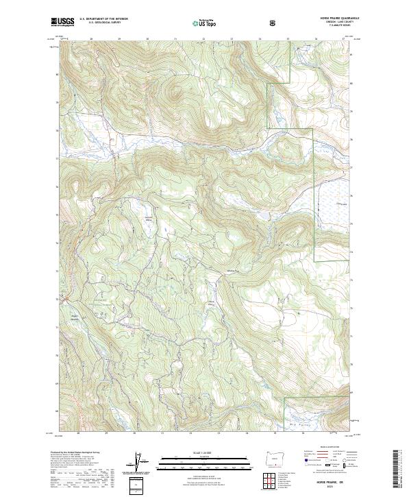
2023 Horse Prairie
Lake County, OR
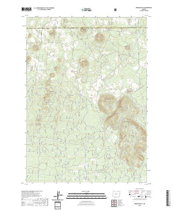
2023 Indian Butte
Lake County, OR
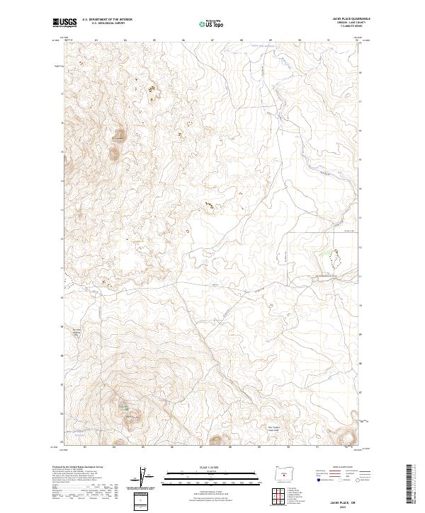
2023 Jacks Place
Lake County, OR
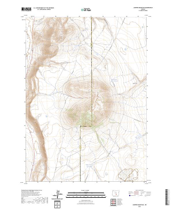
2023 Juniper Mountain
Lake County, OR
2023 Lake Abert North
Lake County, OR
2023 Lane Lake
Lake County, OR
2023 Lee Thomas Crossing
Lake County, OR
2023 Little Honey Creek
Lake County, OR
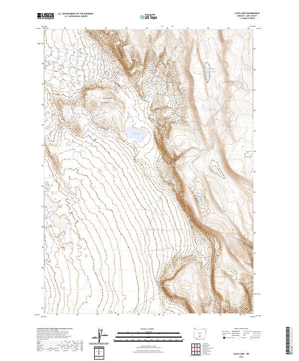
2023 Loco Lake
Lake County, OR
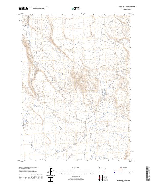
2023 Lone Grave Butte
Lake County, OR
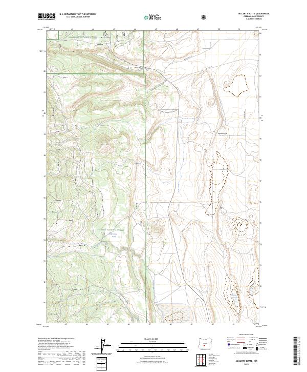
2023 McCarty Butte
Lake County, OR
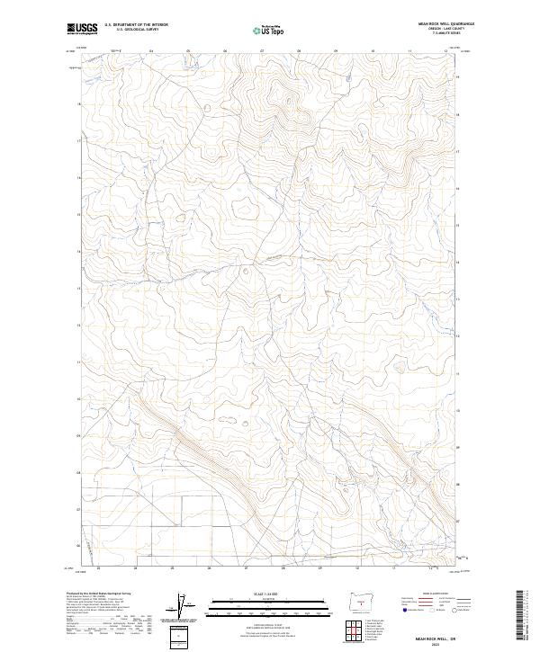
2023 Mean Rock Well
Lake County, OR
2023 Morgan Butte
Lake County, OR
2023 Murphy Waterholes
Lake County, OR
2023 Partin Butte
Lake County, OR
2023 Peters Creek Sink
Lake County, OR
2023 Pole Butte
Lake County, OR
2023 Potato Lake
Lake County, OR
2023 Poverty Basin North
Lake County, OR
2023 Poverty Basin South
Lake County, OR
2023 Quartz Valley
Lake County, OR
2023 Rams Butte
Lake County, OR
2023 Round Top Butte
Lake County, OR
2023 Sagebrush Knoll
Lake County, OR
2023 Sand Rock
Lake County, OR
2023 Sawed Horn
Lake County, OR
2023 Schaub Lake
Lake County, OR
2023 Sharp Top
Lake County, OR

2023 Sheeplick Draw
Lake County, OR
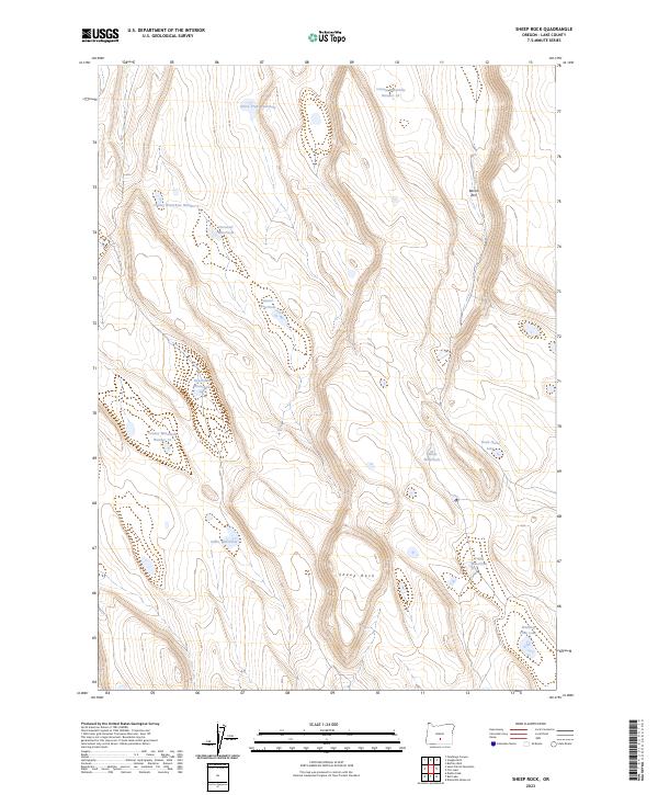
2023 Sheep Rock
Lake County, OR
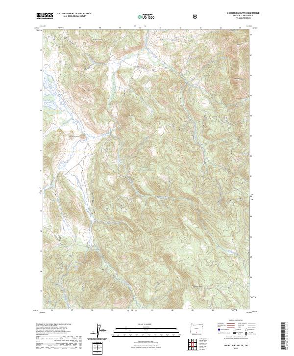
2023 Shoestring Butte
Lake County, OR
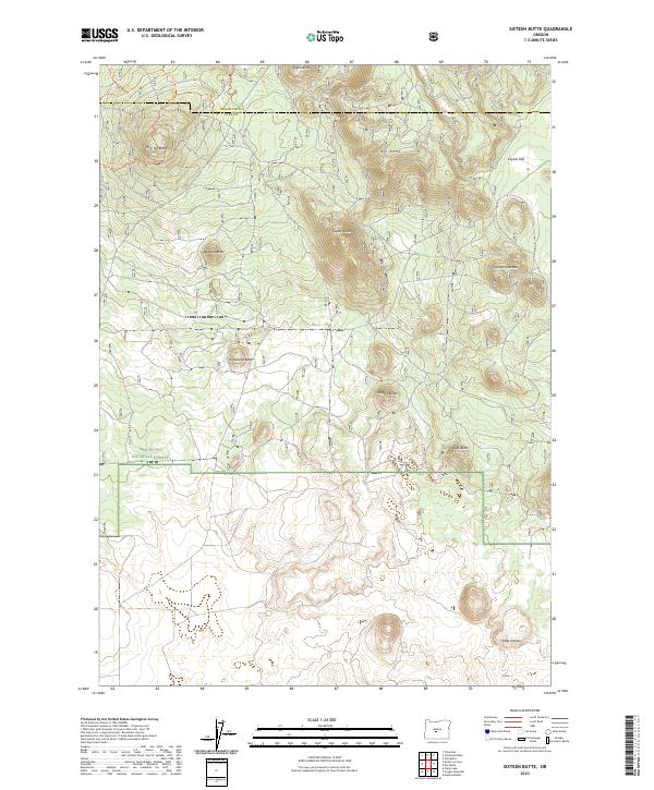
2023 Sixteen Butte
Lake County, OR
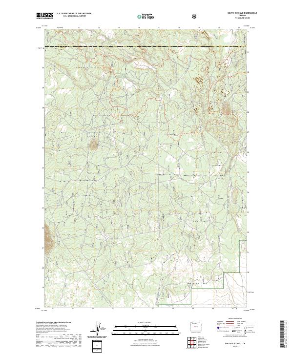
2023 South Ice Cave
Lake County, OR
2023 Spring Butte
Lake County, OR
2023 Strawberry Butte
Lake County, OR
2023 Summer Lake
Lake County, OR
2023 Sycan Marsh East
Lake County, OR
2023 Thompson Reservoir
Lake County, OR
2023 Thorn Lake
Lake County, OR
2023 Tired Horse Butte
Lake County, OR
2023 Tucker Hill
Lake County, OR
2023 Tuff Butte
Lake County, OR
2023 Vaughn Well
Lake County, OR
2023 Venator Canyon
Lake County, OR
2023 Wagontire Mountain West
Lake County, OR
2023 Walker Butte
Lake County, OR
2023 West Side
Lake County, OR
2023 Wickiup Spring
Lake County, OR
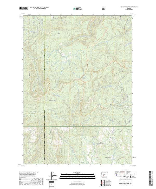
2023 Yamsay Mountain
Lake County, OR

2024 Adel
Lake County, OR
2024 Alger Lake
Lake County, OR
2024 Alkali Lake
Lake County, OR
2024 Arkansas Flat
Lake County, OR
2024 Blizzard Gap
Lake County, OR
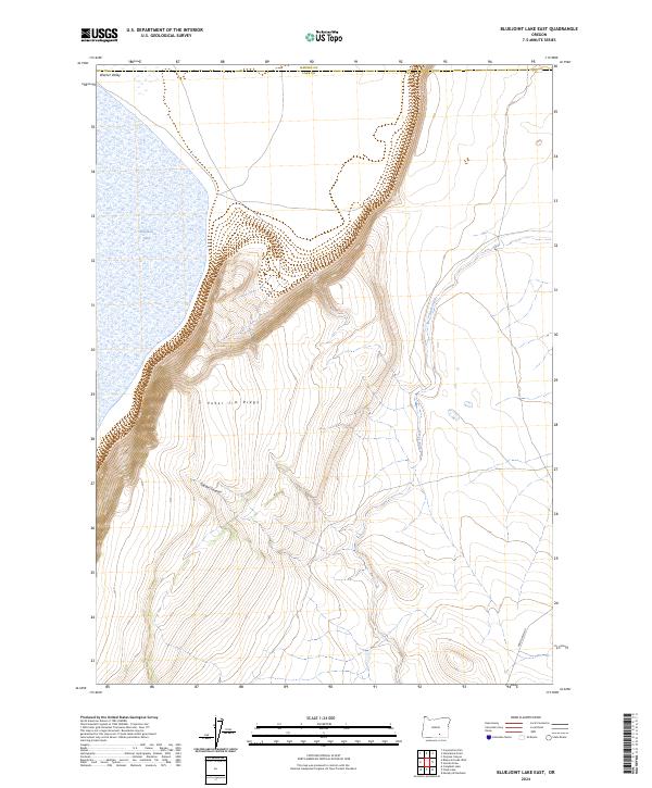
2024 Bluejoint Lake East
Lake County, OR
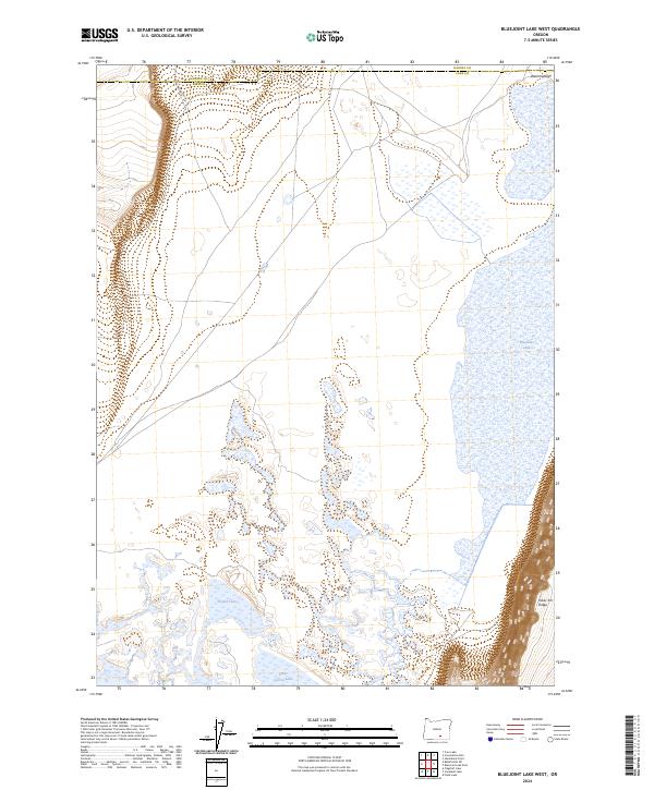
2024 Bluejoint Lake West
Lake County, OR
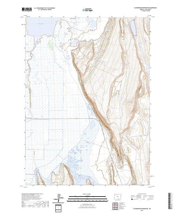
2024 Calderwood Reservoir
Lake County, OR
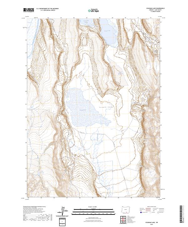
2024 Coleman Lake
Lake County, OR
2024 Crane Creek
Lake County, OR
2024 Crooked Creek Valley
Lake County, OR
2024 Crump Lake
Lake County, OR
2024 Drews Reservoir
Lake County, OR
2024 Duncan Reservoir
Lake County, OR
2024 Egli Rim
Lake County, OR
2024 Flagstaff Lake
Lake County, OR
2024 Fox Butte
Lake County, OR
2024 Fremont Point
Lake County, OR
2024 Hart Lake
Lake County, OR
2024 Hogback Butte
Lake County, OR
2024 Hole In The Ground
Lake County, OR
2024 Jacobs Reservoir
Lake County, OR
2024 Lake Abert South
Lake County, OR
2024 Lakeview Airport
Lake County, OR
2024 Last Chance Lake
Lake County, OR
2024 Locust Butte
Lake County, OR
2024 May Lake
Lake County, OR
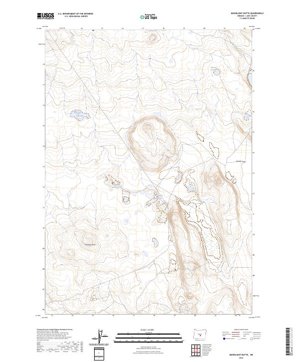
2024 Moonlight Butte
Lake County, OR
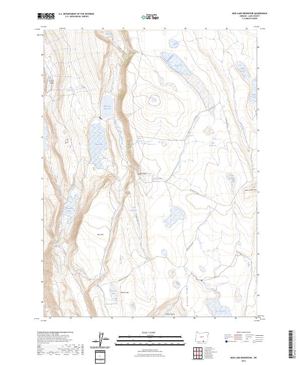
2024 Mud Lake Reservoir
Lake County, OR
2024 Oatman Flat
Lake County, OR
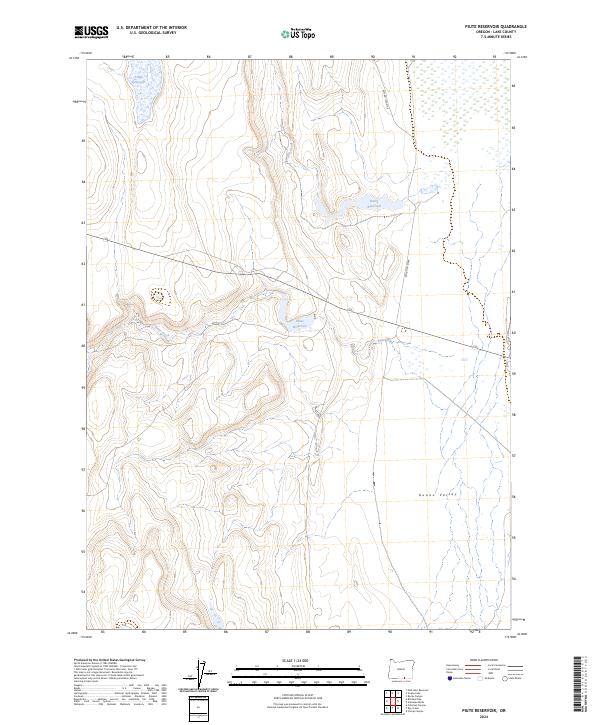
2024 Piute Reservoir
Lake County, OR
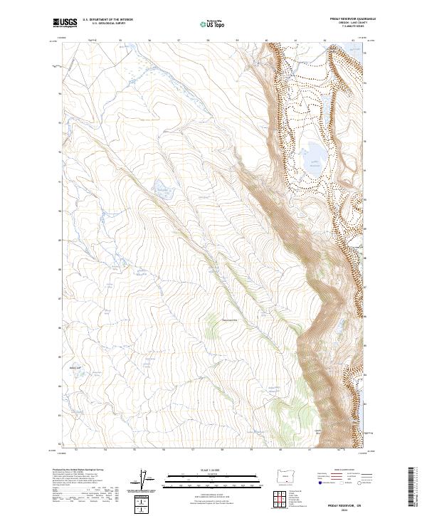
2024 Priday Reservoir
Lake County, OR
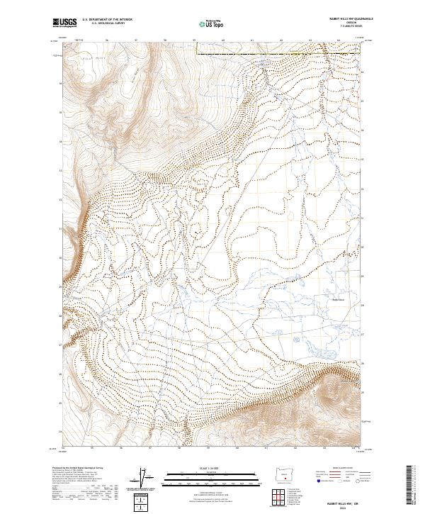
2024 Rabbit Hills NE
Lake County, OR
2024 Rabbit Hills NW
Lake County, OR
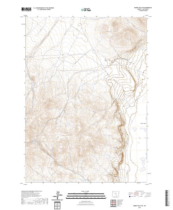
2024 Rabbit Hills SW
Lake County, OR
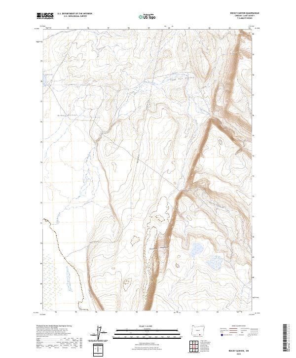
2024 Rocky Canyon
Lake County, OR
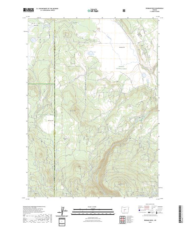
2024 Rodman Rock
Lake County, OR
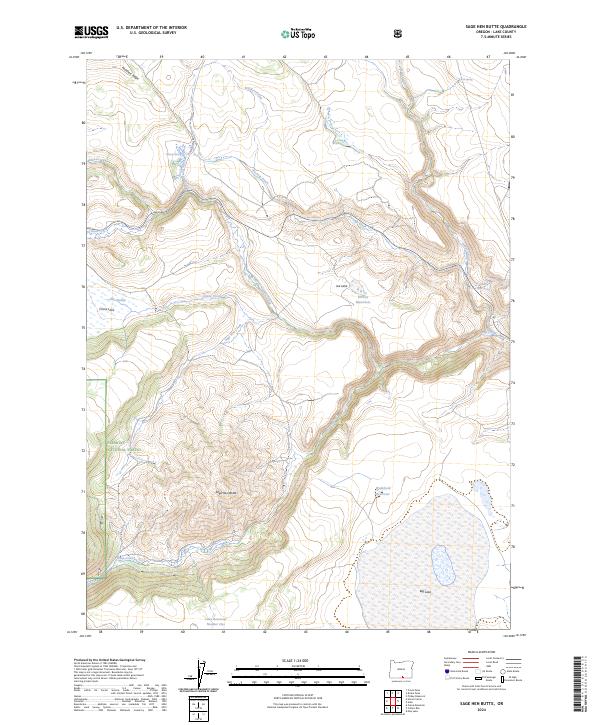
2024 Sage Hen Butte
Lake County, OR
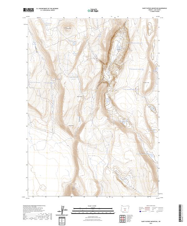
2024 Saint Patrick Mountain
Lake County, OR
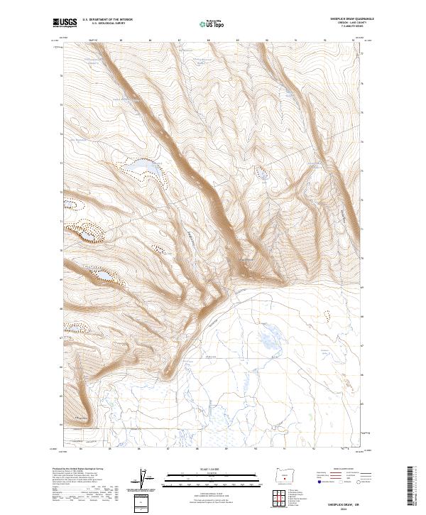
2024 Sheeplick Draw
Lake County, OR
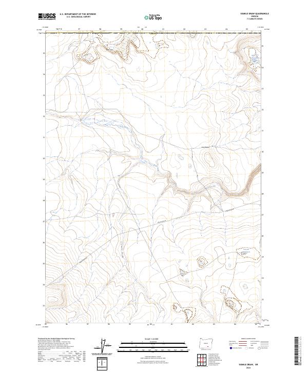
2024 Sixmile Draw
Lake County, OR
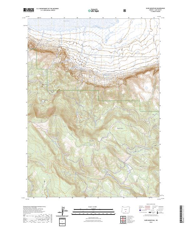
2024 Slide Mountain
Lake County, OR
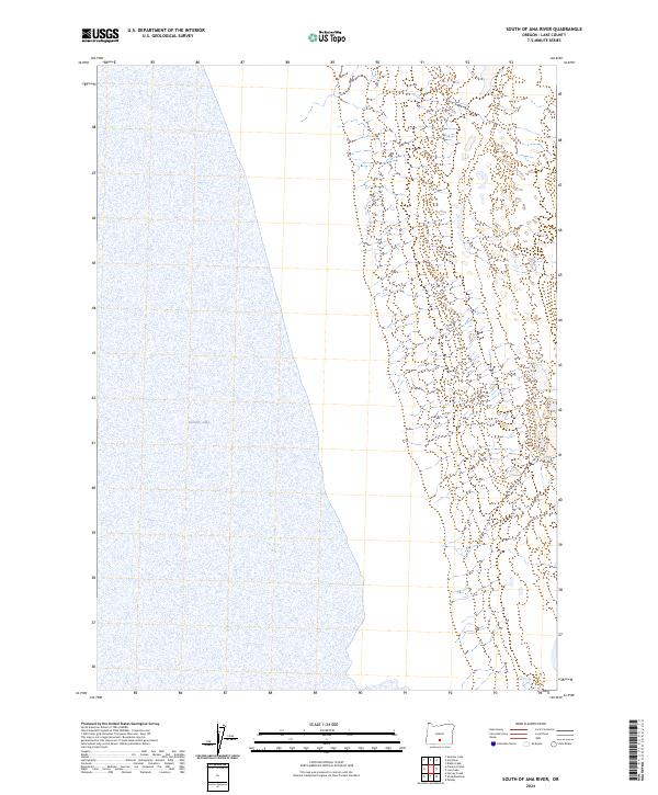
2024 South of Ana River
Lake County, OR
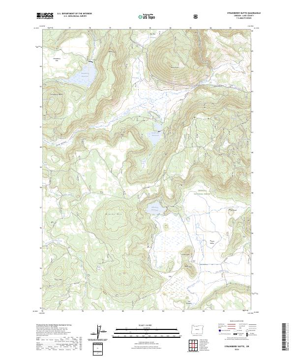
2024 Strawberry Butte
Lake County, OR
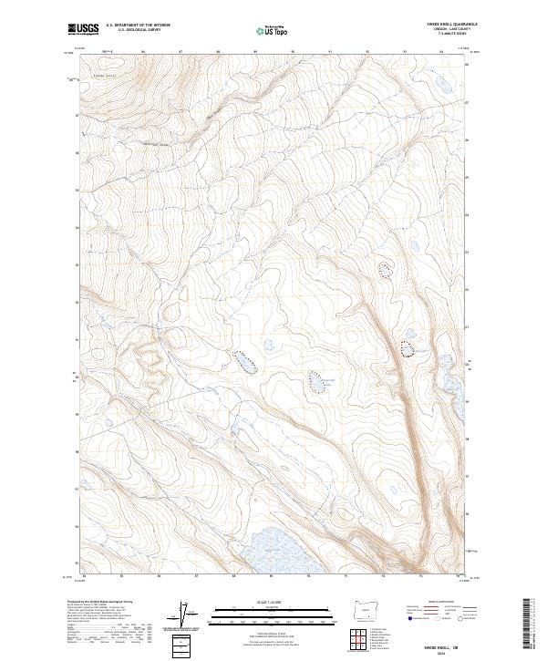
2024 Swede Knoll
Lake County, OR

2024 Sycan Marsh East
Lake County, OR
2024 Sycan Marsh West
Lake County, OR
2024 Thompson Reservoir
Lake County, OR
2024 Valley Falls
Lake County, OR
2024 Warner Peak
Lake County, OR