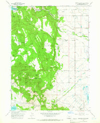
1964 Map of Fitzwater Point
USGS Topo · Published 1966About this map
Fremont National Forest dominates the western half of this landscape, where the high terrain of Fitzwater Point and Willow Creek Hills gives way to a network of seasonal springs and meadows. The area's water management is visible through the Ashcraft Flume and various canals that divert Drews Creek and Drews Slough across the eastern flats. High-altitude springs like Miners Cabin Spring and Fitzwater Pass Spring highlight the historical importance of water sources in this high-desert ranching country.
Find a feature on this map
47 named features on this map. Tap any name to fly to it.
Don’t see what you’re looking for? This feature index may not catch every label — zoom into the map to look around manually.
Map Details
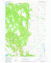
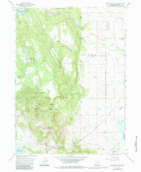
Editions of this 1964 Fitzwater Point Map
3 editions found
Other maps of this area

1886 · Alturas
USGS Topo · 1:250,000

1892 · Alturas
USGS Topo · 1:250,000

1954 · Alturas
USGS Topo · 1:250,000

1955 · Klamath Falls
USGS Topo · 1:250,000

1958 · Alturas
USGS Topo · 1:250,000

1958 · Klamath Falls
USGS Topo · 1:250,000

1962 · Alturas
USGS Topo · 1:250,000

1962 · Willow Ranch
USGS Topo · 1:62,500

1962 · South Mountain
USGS Topo · 1:62,500

1964 · Drews Reservoir
USGS Topo · 1:24,000