
1964 Map of Crooked Creek Valley
USGS Topo · Published 1965About this map
Kittleson Place and several named cattle operations define the high-desert landscape of this portion of Lake County, Oregon. Mapped in the mid-1960s, the terrain is dominated by the Fremont National Forest and the long north-south corridor of the Crooked Creek Valley. The map records a series of established landholdings including White Rock Ranch, Gunkel Ranch, and Chambers Ranch, illustrating the sparse but organized settlement pattern of the era. The hydrology of the region is traced through numerous water sources such as Fawn Spring and Basin Spring, which were vital for ranching and forest management. To the south, the Warner Highway cuts through Warner Canyon, while the topography rises toward Fisk Hill and Squaw Butte. Industrial activity is noted by localized Tailings and a Gravel Pit, providing evidence of mid-century resource extraction and road maintenance in this isolated interior basin.
Find a feature on this map
49 named features on this map. Tap any name to fly to it.
Don’t see what you’re looking for? This feature index may not catch every label — zoom into the map to look around manually.
Map Details
Editions of this 1964 Crooked Creek Valley Map
This is the sole edition of this map. No revisions or reprints were ever made.
Other maps of this area

1955 · Klamath Falls
USGS Topo · 1:250,000

1958 · Klamath Falls
USGS Topo · 1:250,000

1964 · Lakeview NE
USGS Topo · 1:24,000

1964 · Valley Falls
USGS Topo · 1:24,000

1964 · Lakeview NW
USGS Topo · 1:24,000

1964 · Clover Flat
USGS Topo · 1:24,000

1964 · Big Baldy
USGS Topo · 1:24,000

1968 · Crook Peak
USGS Topo · 1:24,000
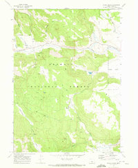
1968 · Horse Prairie
USGS Topo · 1:24,000
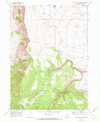
1968 · Little Honey Creek
USGS Topo · 1:24,000