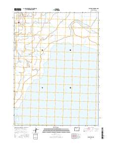
2017 Map of West Side
USGS Topo · Published 2017About this map
Goose Lake dominates the southern landscape of this Oregon territory, where the shoreline meets a complex network of seasonal drainages and marshy lowlands. The settlement of West Side serves as the primary hub for this rural agricultural district, situated at the junction of Westside RD and several county roads. The terrain is defined by the convergence of mountain-fed waterways, including the winding paths of Thomas Creek and Mill Cr as they flow toward the lake basin.
Find a feature on this map
29 named features on this map. Tap any name to fly to it.
Don’t see what you’re looking for? This feature index may not catch every label — zoom into the map to look around manually.
Map Details
Editions of this 2017 West Side Map
This is the sole edition of this map. No revisions or reprints were ever made.
Other maps of this area

1886 · Alturas
USGS Topo · 1:250,000

1892 · Alturas
USGS Topo · 1:250,000

1954 · Alturas
USGS Topo · 1:250,000

1955 · Klamath Falls
USGS Topo · 1:250,000

1958 · Alturas
USGS Topo · 1:250,000

1958 · Klamath Falls
USGS Topo · 1:250,000

1962 · Alturas
USGS Topo · 1:250,000

1962 · Willow Ranch
USGS Topo · 1:62,500

1962 · South Mountain
USGS Topo · 1:62,500

1964 · Lakeview NE
USGS Topo · 1:24,000