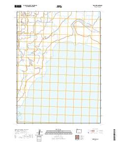
2020 Map of West Side
USGS Topo · Published 2020About this map
West Side sits at the edge of a complex hydraulic landscape where the high desert meets the northern reaches of Goose Lake. This 2020 survey reveals how water is managed and distributed across the basin through a network of natural and engineered channels. The drainage patterns of Drews Cr and Thomas Creek converge toward the lakebed, interspersed with features like Barnes Slough and Cheney Slough.
Find a feature on this map
31 named features on this map. Tap any name to fly to it.
Don’t see what you’re looking for? This feature index may not catch every label — zoom into the map to look around manually.
Map Details
Editions of this 2020 West Side Map
This is the sole edition of this map. No revisions or reprints were ever made.
Other maps of this area

1886 · Alturas
USGS Topo · 1:250,000

1892 · Alturas
USGS Topo · 1:250,000

1954 · Alturas
USGS Topo · 1:250,000

1955 · Klamath Falls
USGS Topo · 1:250,000

1958 · Alturas
USGS Topo · 1:250,000

1958 · Klamath Falls
USGS Topo · 1:250,000

1962 · Alturas
USGS Topo · 1:250,000

1962 · Willow Ranch
USGS Topo · 1:62,500

1962 · South Mountain
USGS Topo · 1:62,500

1964 · Lakeview NE
USGS Topo · 1:24,000