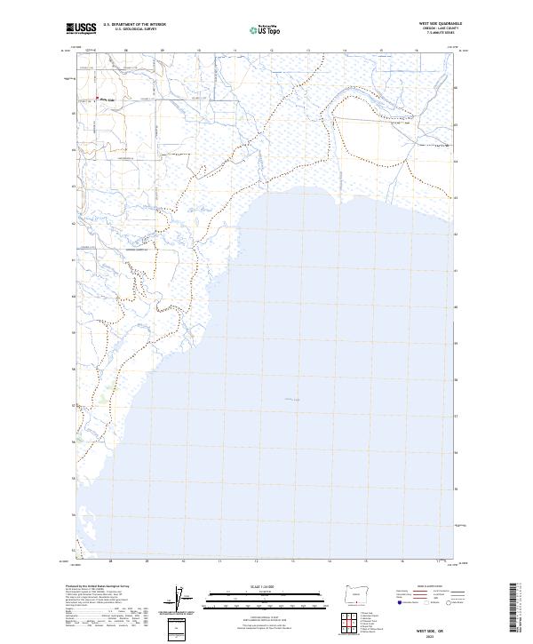
2023 Map of West Side
USGS Topo · Published 2023About this map
Goose Lake dominates the southern half of this landscape in Lake County, Oregon, where the water's edge meets a complex network of wetlands and drainage systems. The small settlement of West Side sits at the base of the western foothills, serving as a hub for local routes like Westside Rd and Garett Rd. The area north of the lake is defined by slow-moving water features such as Drews Creek Slough, Cheney Slough, and Barnes Slough, reflecting the low-lying, hydrologically active nature of the basin floor.
Find a feature on this map
30 named features on this map. Tap any name to fly to it.
Don’t see what you’re looking for? This feature index may not catch every label — zoom into the map to look around manually.
Map Details
Editions of this 2023 West Side Map
This is the sole edition of this map. No revisions or reprints were ever made.
Other maps of this area

1886 · Alturas
USGS Topo · 1:250,000

1892 · Alturas
USGS Topo · 1:250,000

1954 · Alturas
USGS Topo · 1:250,000

1955 · Klamath Falls
USGS Topo · 1:250,000

1958 · Alturas
USGS Topo · 1:250,000

1958 · Klamath Falls
USGS Topo · 1:250,000

1962 · Alturas
USGS Topo · 1:250,000

1962 · Willow Ranch
USGS Topo · 1:62,500

1962 · South Mountain
USGS Topo · 1:62,500

1964 · Lakeview NE
USGS Topo · 1:24,000