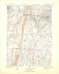
1944 Map of West Springfield
USGS Topo · Published 1954About this map
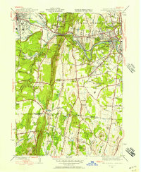
Proven Mountain and the ridge of East Mountain dominate the central landscape of this mid-1940s survey, marking a sharp vertical divide between the industrial centers and the rural uplands. To the east, the Westfield River carves through West Springfield and North Agawam, where the Boston and Albany Railroad corridor supports a dense grid of residential and commercial streets. Significant public institutions are established along the slopes, including the Westfield State Sanatorium and the Hampden County Training Sch.
Find a feature on this map
90 named features on this map. Tap any name to fly to it.
Don’t see what you’re looking for? This feature index may not catch every label — zoom into the map to look around manually.
Map Details
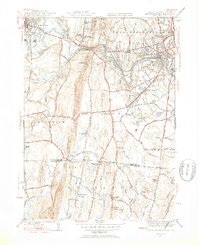
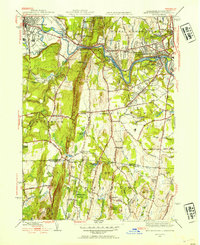
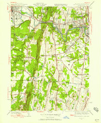
Editions of this 1944 West Springfield Map
5 editions found
Other maps of this area

1886 · Springfield
USGS Topo · 1:62,500

1887 · Granville
USGS Topo · 1:62,500

1889 · Springfield
USGS Topo · 1:62,500

1889 · Granville
USGS Topo · 1:62,500

1892 · Hartford
USGS Topo · 1:62,500

1892 · Granby
USGS Topo · 1:62,500

1893 · Springfield
USGS Topo · 1:62,500

1893 · Granville
USGS Topo · 1:62,500

1895 · Springfield
USGS Topo · 1:62,500

1895 · Granville
USGS Topo · 1:62,500