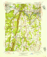
1944 Map of West Springfield
USGS Topo · Published 1954About this map
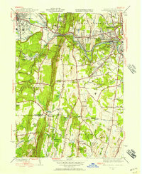
Provin Mountain and the Metacomet Ridge define the vertical spine of this mid-century landscape, separating the industrial centers of Westfield and West Springfield from the agricultural borders of Southwick and Suffield. The Westfield River carves a winding path through the northern half of the sheet, followed closely by the Boston & Albany RR. This corridor is punctuated by specialized institutions, including the Westfield State Sanatorium and a riverside sewage filters plant.
Find a feature on this map
96 named features on this map. Tap any name to fly to it.
Don’t see what you’re looking for? This feature index may not catch every label — zoom into the map to look around manually.
Map Details
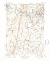
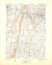
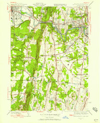
Editions of this 1944 West Springfield Map
5 editions found
Other maps of this area

1886 · Springfield
USGS Topo · 1:62,500

1887 · Granville
USGS Topo · 1:62,500

1889 · Springfield
USGS Topo · 1:62,500

1889 · Granville
USGS Topo · 1:62,500

1892 · Hartford
USGS Topo · 1:62,500

1892 · Granby
USGS Topo · 1:62,500

1893 · Springfield
USGS Topo · 1:62,500

1893 · Granville
USGS Topo · 1:62,500

1895 · Springfield
USGS Topo · 1:62,500

1895 · Granville
USGS Topo · 1:62,500