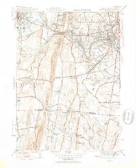
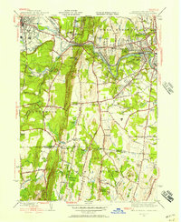
1944 Map of West Springfield
USGS Topo · Published 1954About this map
The Westfield River carves through the landscape of the Pioneer Valley during the mid-1940s, marking the transition between the industrial centers of Westfield and West Springfield. This survey details an era of significant institutional development, illustrated by the Westfield State Sanatorium and the Hampden County Training Sch. A complex network of crossroads settlements like Feeding Hills, Johnson Corner, and Rising Corner defines the rural character south of the river, where agriculture and small-scale industry coexisted with the infrastructure of the Boston and Albany RR and the New Haven and Hartford RR. The geography is defined by prominent elevations such as Liswell Hill and the ridge of East Mountain, which overlooks the local Quarry and Waterworks essential to the region's mid-century growth.
Find a feature on this map
86 named features on this map. Tap any name to fly to it.
Don’t see what you’re looking for? This feature index may not catch every label — zoom into the map to look around manually.
Map Details
Editions of this 1944 West Springfield Map
5 editions found
Other maps of this area

1886 · Springfield
USGS Topo · 1:62,500

1887 · Granville
USGS Topo · 1:62,500

1889 · Springfield
USGS Topo · 1:62,500

1889 · Granville
USGS Topo · 1:62,500

1892 · Hartford
USGS Topo · 1:62,500

1892 · Granby
USGS Topo · 1:62,500

1893 · Springfield
USGS Topo · 1:62,500

1893 · Granville
USGS Topo · 1:62,500

1895 · Springfield
USGS Topo · 1:62,500

1895 · Granville
USGS Topo · 1:62,500