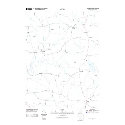
2013 Map of West Sunbury
USGS Topo · Published 2013About this map
West Sunbury anchors the southeastern portion of this landscape, situated at a junction of regional roads where the terrain begins its gradual descent toward Big Run. The area is defined by the branching waterways of the Slippery Rock Creek system, including the N Br Slippery Rock Cr and S Br Slippery Rock Cr, which carve through the undulating hills of northern Butler County. To the east, the large expanse of Glades Reservoir stands as a prominent hydrological feature, while Hamilton Ridge provides a distinct topographic spine through the center of the sheet.
Find a feature on this map
118 named features on this map. Tap any name to fly to it.
Don’t see what you’re looking for? This feature index may not catch every label — zoom into the map to look around manually.
Map Details
Editions of this 2013 West Sunbury Map
This is the sole edition of this map. No revisions or reprints were ever made.
Other maps of this area

1908 · Zelienople
USGS Topo · 1:62,500

1909 · Butler
USGS Topo · 1:62,500

1910 · Zelienople
USGS Topo · 1:62,500

1910 · Hilliards
USGS Topo · 1:62,500

1911 · Butler
USGS Topo · 1:62,500

1912 · Hilliards
USGS Topo · 1:62,500

1913 · Mercer
USGS Topo · 1:62,500

1939 · Mercer
USGS Topo · 1:62,500

1943 · Mercer
USGS Topo · 1:62,500

1944 · Hilliards
USGS Topo · 1:62,500