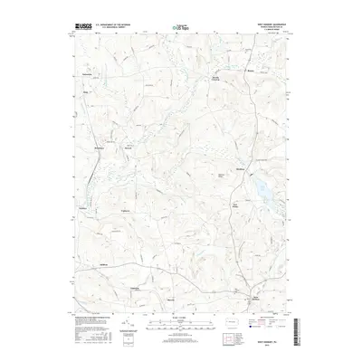
2016 Map of West Sunbury
USGS Topo · Published 2016About this map
Slippery Rock Creek and its many tributaries, including the South Branch Slippery Rock Creek and N Br Slippery Rock Cr, carve a complex drainage pattern across this section of Butler County. The landscape is defined by its numerous small crossroads communities and family-named routes like Allison Rd and Kyle Rd. Historically significant sites for genealogists include Annandale Cem and the West Sunbury Cem, which serve the borough of West Sunbury and the surrounding township.
Find a feature on this map
78 named features on this map. Tap any name to fly to it.
Don’t see what you’re looking for? This feature index may not catch every label — zoom into the map to look around manually.
Map Details
Editions of this 2016 West Sunbury Map
This is the sole edition of this map. No revisions or reprints were ever made.
Other maps of this area

1908 · Zelienople
USGS Topo · 1:62,500

1909 · Butler
USGS Topo · 1:62,500

1910 · Zelienople
USGS Topo · 1:62,500

1910 · Hilliards
USGS Topo · 1:62,500

1911 · Butler
USGS Topo · 1:62,500

1912 · Hilliards
USGS Topo · 1:62,500

1913 · Mercer
USGS Topo · 1:62,500

1939 · Mercer
USGS Topo · 1:62,500

1943 · Mercer
USGS Topo · 1:62,500

1944 · Hilliards
USGS Topo · 1:62,500