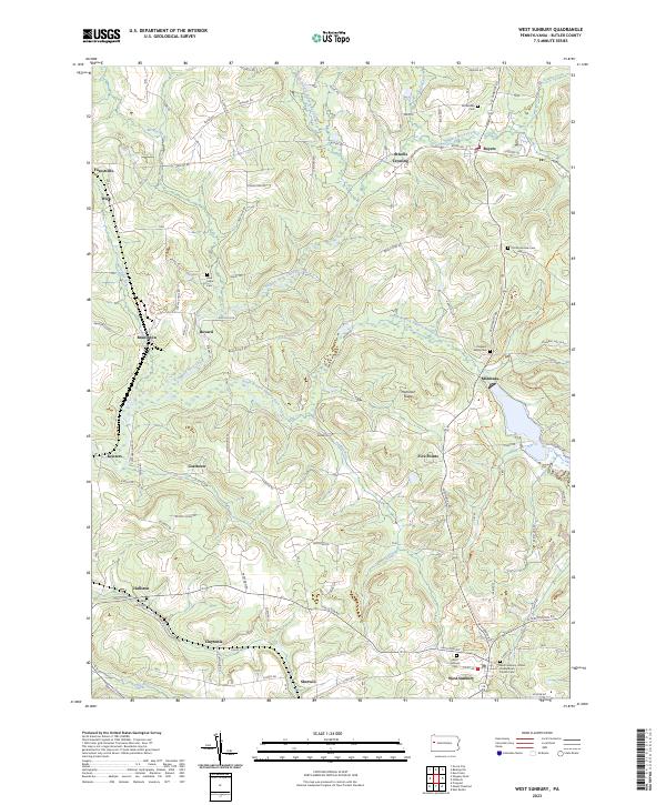
2023 Map of West Sunbury
USGS Topo · Published 2023About this map
The rolling hills of Butler County are deeply carved by the North Branch Slippery Rock Creek and its many tributaries, defining the rural character of this northern Pennsylvania landscape. Small settlements and historic hamlets punctuate the ridge-and-valley topography, including West Sunbury, Boyers, and Branchton. These communities are tied together by a dense network of local roads such as W Sunbury Rd and Branchton Rd, reflecting generations of land use centered on agriculture and localized industry.
Find a feature on this map
107 named features on this map. Tap any name to fly to it.
Don’t see what you’re looking for? This feature index may not catch every label — zoom into the map to look around manually.
Map Details
Editions of this 2023 West Sunbury Map
This is the sole edition of this map. No revisions or reprints were ever made.
Other maps of this area

1908 · Zelienople
USGS Topo · 1:62,500

1909 · Butler
USGS Topo · 1:62,500

1910 · Zelienople
USGS Topo · 1:62,500

1910 · Hilliards
USGS Topo · 1:62,500

1911 · Butler
USGS Topo · 1:62,500

1912 · Hilliards
USGS Topo · 1:62,500

1913 · Mercer
USGS Topo · 1:62,500

1939 · Mercer
USGS Topo · 1:62,500

1943 · Mercer
USGS Topo · 1:62,500

1944 · Hilliards
USGS Topo · 1:62,500
Featured Places
- West Sunbury, PA
- Slippery Rock Township, PA
- Concord Township, PA
- Marion Township, PA
- Mercer Township, PA