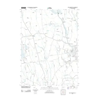
2012 Map of West Torrington
USGS Topo · Published 2012About this map
Goshen and the western edge of the Torrington area are characterized by a transition from high peaks like Ivy Mountain and Brass Mountain to the industrial and residential basins of the Naugatuck valley. The landscape is defined by its water management systems, including the Hatchaloosie Reservoir, Stillwater Pond, and Reuben Hart Reservoir, which serve the downstream population centers. In the east, the W Br Naugatuck River flows through Drakeville and Wrightville, while the southern reaches are drained by the Bantam River system. This 2012 survey illustrates the modern distribution of local heritage sites, from the Maria Pratt Girl Scout Camp to numerous historic burial grounds such as Old Middle Street Cem and Collins Cem. The network of local roads like John Brown Rd and University Dr connects these outlying settlements to the primary hub at West Torrington.
Find a feature on this map
170 named features on this map. Tap any name to fly to it.
Don’t see what you’re looking for? This feature index may not catch every label — zoom into the map to look around manually.
Map Details
Editions of this 2012 West Torrington Map
This is the sole edition of this map. No revisions or reprints were ever made.
Other maps of this area

1892 · Winsted
USGS Topo · 1:62,500

1892 · Cornwall
USGS Topo · 1:62,500

1892 · New Milford
USGS Topo · 1:62,500

1893 · Waterbury
USGS Topo · 1:62,500

1893 · New Milford
USGS Topo · 1:62,500

1893 · Cornwall
USGS Topo · 1:62,500

1903 · Cornwall
USGS Topo · 1:62,500

1904 · New Milford
USGS Topo · 1:62,500

1904 · Waterbury
USGS Topo · 1:62,500

1904 · Litchfield
USGS Topo · 1:125,000