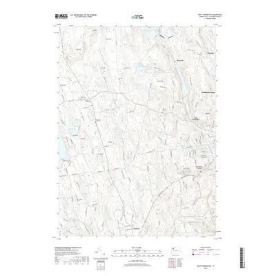
2018 Map of West Torrington
USGS Topo · Published 2018About this map
The W Br Naugatuck River and the West Branch Naugatuck River carve a significant corridor through this Litchfield County landscape, anchoring the industrial and residential growth of Torrington and its outlying neighborhoods like Drakeville and Newberry Corner. The eastern portion of the map is defined by the tracks of the Naugatuck Railroad, which facilitated the region's historical role as a manufacturing hub. Higher elevations such as Ivy Mtn and Beech Hill rise above a complex network of managed water resources, including the Hatchaloosie Reservoir and Reuben Hart Reservoir.
Find a feature on this map
158 named features on this map. Tap any name to fly to it.
Don’t see what you’re looking for? This feature index may not catch every label — zoom into the map to look around manually.
Map Details
Editions of this 2018 West Torrington Map
This is the sole edition of this map. No revisions or reprints were ever made.
Other maps of this area

1892 · Winsted
USGS Topo · 1:62,500

1892 · Cornwall
USGS Topo · 1:62,500

1892 · New Milford
USGS Topo · 1:62,500

1893 · Waterbury
USGS Topo · 1:62,500

1893 · New Milford
USGS Topo · 1:62,500

1893 · Cornwall
USGS Topo · 1:62,500

1903 · Cornwall
USGS Topo · 1:62,500

1904 · New Milford
USGS Topo · 1:62,500

1904 · Waterbury
USGS Topo · 1:62,500

1904 · Litchfield
USGS Topo · 1:125,000