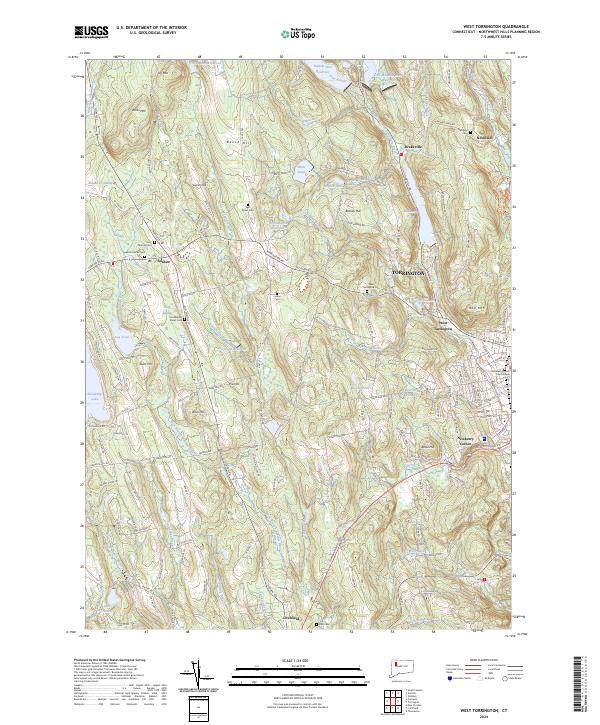
2024 Map of West Torrington
USGS Topo · Published 2024About this map
Torrington and its neighboring hillsides display a landscape defined by the varied headwaters of the Naugatuck and Bantam river systems. The town is flanked by a series of prominent peaks, including Ivy Mtn and Red Mtn, which frame the residential growth extending from the urban center toward West Torrington and Drakeville. This contemporary survey highlights the civic heart of the region at the Litchfield County Court House, while numerous smaller settlements like Newberry Corner and Newfield maintain their distinct identities along the winding secondary roads.
Find a feature on this map
155 named features on this map. Tap any name to fly to it.
Don’t see what you’re looking for? This feature index may not catch every label — zoom into the map to look around manually.
Map Details
Editions of this 2024 West Torrington Map
This is the sole edition of this map. No revisions or reprints were ever made.
Other maps of this area

1892 · Winsted
USGS Topo · 1:62,500

1892 · Cornwall
USGS Topo · 1:62,500

1892 · New Milford
USGS Topo · 1:62,500

1893 · Waterbury
USGS Topo · 1:62,500

1893 · New Milford
USGS Topo · 1:62,500

1893 · Cornwall
USGS Topo · 1:62,500

1903 · Cornwall
USGS Topo · 1:62,500

1904 · New Milford
USGS Topo · 1:62,500

1904 · Waterbury
USGS Topo · 1:62,500

1904 · Litchfield
USGS Topo · 1:125,000