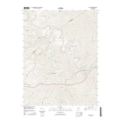
2014 Map of West Union
USGS Topo · Published 2014About this map
West Union serves as the focal point of this terrain, where the Baltimore and Ohio Railroad follows the winding path of Middle Island Creek. The map documents the mid-2010s landscape of West Virginia's interior, showing a region defined by narrow valleys and numerous small settlements like Central Station, Deep Valley, and Duckworth. Transportation routes are dictated by the topography, with Us-50 and Old US-50 carving through the hills alongside an intricate network of county roads such as Oxford Rd and Duckworth Rd.
Find a feature on this map
84 named features on this map. Tap any name to fly to it.
Don’t see what you’re looking for? This feature index may not catch every label — zoom into the map to look around manually.
Map Details
Editions of this 2014 West Union Map
This is the sole edition of this map. No revisions or reprints were ever made.
Other maps of this area

1904 · Vadis
USGS Topo · 1:62,500

1905 · Centerpoint
USGS Topo · 1:62,500

1905 · West Union
USGS Topo · 1:62,500

1906 · Holbrook
USGS Topo · 1:62,500

1924 · Centerpoint
USGS Topo · 1:62,500

1924 · West Union
USGS Topo · 1:62,500

1924 · Holbrook
USGS Topo · 1:62,500

1925 · Centerpoint
USGS Topo · 1:62,500

1925 · Vadis
USGS Topo · 1:62,500

1926 · Holbrook
USGS Topo · 1:62,500