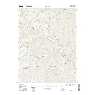
2016 Map of West Union
USGS Topo · Published 2016About this map
West Union serves as the focal point of this survey, situated where Middle Island Creek and its many tributaries cut through the Doddridge County landscape. The town's grid is clearly defined, showing the convergence of local routes like Sistersville Pike and the proximity of the N Bend Rail Trail, which follows the historic path of the railroad through the region. The map reveals a dense network of family and community history through its numerous small burial grounds, including the Masonic Cem, Freeman Cem, and the Fleming Cem located near the southern border.
Find a feature on this map
102 named features on this map. Tap any name to fly to it.
Don’t see what you’re looking for? This feature index may not catch every label — zoom into the map to look around manually.
Map Details
Editions of this 2016 West Union Map
This is the sole edition of this map. No revisions or reprints were ever made.
Other maps of this area

1904 · Vadis
USGS Topo · 1:62,500

1905 · Centerpoint
USGS Topo · 1:62,500

1905 · West Union
USGS Topo · 1:62,500

1906 · Holbrook
USGS Topo · 1:62,500

1924 · Centerpoint
USGS Topo · 1:62,500

1924 · West Union
USGS Topo · 1:62,500

1924 · Holbrook
USGS Topo · 1:62,500

1925 · Centerpoint
USGS Topo · 1:62,500

1925 · Vadis
USGS Topo · 1:62,500

1926 · Holbrook
USGS Topo · 1:62,500