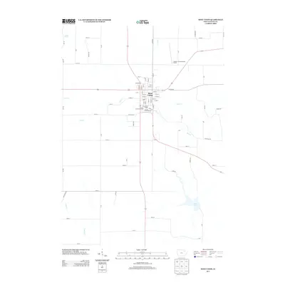
2013 Map of West Union
USGS Topo · Published 2013About this map
West Union serves as the focal point of this Fayette County survey, where the town's grid of named streets meets several local waterways. The community's public spaces are well-defined, including the Fayette County Fairgrounds and the Fayette County Raceway located just south of the town center. To the northeast, the George L Scott Municipal Airport marks a modern transport link, while the Vine Street Bridge provides a specific crossing point over Otter Cr. The surrounding landscape is dominated by a systematic agricultural grid and a network of creeks, including Glover Cr, Turner Cr, and Coulee Cr. In the southern portion of the quadrangle, the presence of Volga Lake and the Falling Springs area suggests a terrain shaped by the regional hydrology, offering a clear record of land use and water resources in the early 21st century.
Find a feature on this map
71 named features on this map. Tap any name to fly to it.
Don’t see what you’re looking for? This feature index may not catch every label — zoom into the map to look around manually.
Map Details
Editions of this 2013 West Union Map
This is the sole edition of this map. No revisions or reprints were ever made.
Other maps of this area

1901 · Oelwein
USGS Topo · 1:125,000

1906 · Decorah
USGS Topo · 1:125,000

1958 · La Crosse
USGS Topo · 1:250,000

1959 · Dubuque
USGS Topo · 1:250,000

1961 · Dubuque
USGS Topo · 1:250,000

1961 · La Crosse
USGS Topo · 1:250,000

1962 · Dubuque
USGS Topo · 1:250,000

1965 · La Crosse
USGS Topo · 1:250,000

1965 · Elgin
USGS Topo · 1:24,000

1965 · Wadena
USGS Topo · 1:24,000