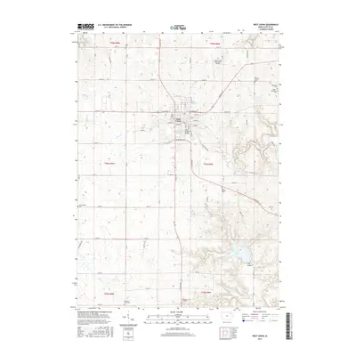
2015 Map of West Union
USGS Topo · Published 2015About this map
West Union serves as the focal point of this Fayette County landscape, where the intersection of Lincoln Rd and W Bradford St anchors the local street grid. The town is surrounded by a notable concentration of burial sites, including West Union Cem, Mount Calvary Cem, and the small Barnhouse Cem, providing significant points of interest for genealogical research in the region. Outside the municipal center, the terrain is defined by the winding paths of Otter Cr and Glover Cr, which drain the agricultural uplands toward the southeast.
Find a feature on this map
63 named features on this map. Tap any name to fly to it.
Don’t see what you’re looking for? This feature index may not catch every label — zoom into the map to look around manually.
Map Details
Editions of this 2015 West Union Map
This is the sole edition of this map. No revisions or reprints were ever made.
Other maps of this area

1901 · Oelwein
USGS Topo · 1:125,000

1906 · Decorah
USGS Topo · 1:125,000

1958 · La Crosse
USGS Topo · 1:250,000

1959 · Dubuque
USGS Topo · 1:250,000

1961 · Dubuque
USGS Topo · 1:250,000

1961 · La Crosse
USGS Topo · 1:250,000

1962 · Dubuque
USGS Topo · 1:250,000

1965 · La Crosse
USGS Topo · 1:250,000

1965 · Elgin
USGS Topo · 1:24,000

1965 · Wadena
USGS Topo · 1:24,000