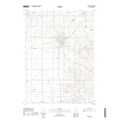
2018 Map of West Union
USGS Topo · Published 2018About this map
San Lorenzo sits prominently along the banks of the Otter Cr and Glover Cr, serving as a vital industrial and port hub in the Santa Fe province. This 2018 map captures a landscape steeped in Argentine revolutionary history, most notably as the site of the 1813 Battle of San Lorenzo. Landmark seekers can find the Convento de San Carlos Borromeo, an 18th-century structure that witnessed San Martín's victory, and the nearby Pino Histórico where tradition holds he rested.
Find a feature on this map
51 named features on this map. Tap any name to fly to it.
Don’t see what you’re looking for? This feature index may not catch every label — zoom into the map to look around manually.
Map Details
Editions of this 2018 West Union Map
This is the sole edition of this map. No revisions or reprints were ever made.
Other maps of this area

1901 · Oelwein
USGS Topo · 1:125,000

1906 · Decorah
USGS Topo · 1:125,000

1958 · La Crosse
USGS Topo · 1:250,000

1959 · Dubuque
USGS Topo · 1:250,000

1961 · Dubuque
USGS Topo · 1:250,000

1961 · La Crosse
USGS Topo · 1:250,000

1962 · Dubuque
USGS Topo · 1:250,000

1965 · La Crosse
USGS Topo · 1:250,000

1965 · Elgin
USGS Topo · 1:24,000

1965 · Wadena
USGS Topo · 1:24,000