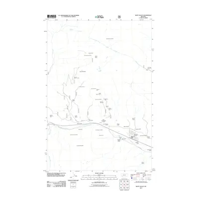
2011 Map of West Valley
USGS Topo · Published 2011About this map
Stump Town and West Valley sit at the eastern base of the mountains in this part of Deer Lodge County, where the valley floor meets the mining-scarred slopes. The landscape is defined by a dense concentration of historical mining operations, ranging from the Homestake Mine and Keystone Mine in the north to the Sheridan Mine and Balkan Mine further south. These claims follow the mineral-rich gulches, such as Blue Eyed Nellie Gulch and Buck Gulch, which drain toward the flats of Warm Springs Creek.
Find a feature on this map
55 named features on this map. Tap any name to fly to it.
Don’t see what you’re looking for? This feature index may not catch every label — zoom into the map to look around manually.
Map Details
Editions of this 2011 West Valley Map
This is the sole edition of this map. No revisions or reprints were ever made.
Other maps of this area

1889 · Helena
USGS Topo · 1:250,000

1893 · Helena
USGS Topo · 1:250,000

1899 · Helena
USGS Topo · 1:250,000

1903 · Helena
USGS Topo · 1:250,000

1908 · Philipsburg
USGS Topo · 1:125,000

1947 · Butte
USGS Topo · 1:250,000

1958 · Butte
USGS Topo · 1:250,000

1960 · Butte
USGS Topo · 1:250,000

1961 · Anaconda
USGS Topo · 1:62,500

1962 · Butte
USGS Topo · 1:250,000