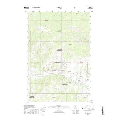
2020 Map of West Valley
USGS Topo · Published 2020About this map
Garrity Mtn and Olson Mtn dominate this high-altitude landscape within the Deerlodge National Forest, where steep canyons and narrow gulches define the drainage patterns of the upper Warm Springs Creek watershed. The transition from the high ridges of Thornton Ridge and Stucky Ridge down to the valley floor reveals a historical pattern of settlement and utility, particularly around the small communities of West Valley and Stump Town.
Find a feature on this map
47 named features on this map. Tap any name to fly to it.
Don’t see what you’re looking for? This feature index may not catch every label — zoom into the map to look around manually.
Map Details
Editions of this 2020 West Valley Map
This is the sole edition of this map. No revisions or reprints were ever made.
Other maps of this area

1889 · Helena
USGS Topo · 1:250,000

1893 · Helena
USGS Topo · 1:250,000

1899 · Helena
USGS Topo · 1:250,000

1903 · Helena
USGS Topo · 1:250,000

1908 · Philipsburg
USGS Topo · 1:125,000

1947 · Butte
USGS Topo · 1:250,000

1958 · Butte
USGS Topo · 1:250,000

1960 · Butte
USGS Topo · 1:250,000

1961 · Anaconda
USGS Topo · 1:62,500

1962 · Butte
USGS Topo · 1:250,000