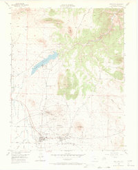
1955 Map of Westcliffe
USGS Topo · Published 1969About this map
The Wet Mountain Valley serves as the backdrop for this mid-century look at the adjacent mining and ranching hubs of Westcliffe and Silver Cliff. The landscape is defined by its industrial history, prominently featuring the Old Railroad Grade and numerous extraction sites like the Bull Domingo Mine and the Defender Mine (Active). The inclusion of the Fairground and Courthouse in Westcliffe points to its role as the administrative and social center of Custer County during this era.
Find a feature on this map
38 named features on this map. Tap any name to fly to it.
Don’t see what you’re looking for? This feature index may not catch every label — zoom into the map to look around manually.
Map Details
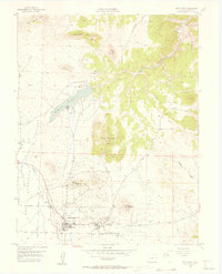
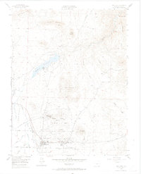
Editions of this 1955 Westcliffe Map
4 editions found
Other maps of this area

1889 · Canon City
USGS Topo · 1:125,000

1892 · Canon City
USGS Topo · 1:125,000

1954 · Mount Tyndall
USGS Topo · 1:24,000

1954 · Rosita
USGS Topo · 1:24,000

1954 · Pueblo
USGS Topo · 1:250,000

1955 · Westcliffe
USGS Topo · 1:24,000

1957 · Pueblo
USGS Topo · 1:250,000

1957 · Aldrich Gulch
USGS Topo · 1:24,000

1958 · Pueblo
USGS Topo · 1:250,000

1958 · Beckwith Mountain
USGS Topo · 1:24,000