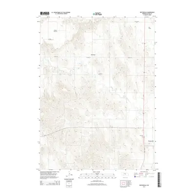
2014 Map of Westerville
USGS Topo · Published 2014About this map
Westerville and the nearby agricultural crossroads of Weissert anchor this rural landscape in Custer County. The map reveals a community defined by its proximity to Clear Cr, which winds through a complex system of draws and hills between the French Tableland and Dry Valley. Genealogists and local historians can locate several historic burial grounds, including the Franch Tableland Cem, Lone Tree Cem, and Dry Valley Cem. The transportation network is built upon the primary corridor of Us-183, which runs north-south, and the local east-west route of Ne-70. The terrain transitions from the high, flat expanses of the tablelands to the more dissected drainage patterns near the creek, illustrating the relationship between topography and early settlement patterns in central Nebraska.
Find a feature on this map
12 named features on this map. Tap any name to fly to it.
Don’t see what you’re looking for? This feature index may not catch every label — zoom into the map to look around manually.
Map Details
Editions of this 2014 Westerville Map
This is the sole edition of this map. No revisions or reprints were ever made.
Other maps of this area

1951 · Broken Bow NE
USGS Topo · 1:24,000

1951 · Westerville
USGS Topo · 1:24,000

1951 · Ansley
USGS Topo · 1:24,000

1951 · Broken Bow SE
USGS Topo · 1:24,000

1951 · Ansley NE
USGS Topo · 1:24,000

1951 · Round Valley
USGS Topo · 1:24,000

1951 · Ansley SE
USGS Topo · 1:24,000

1952 · Sargent SE
USGS Topo · 1:24,000

1952 · Sargent SW
USGS Topo · 1:24,000

1955 · Broken Bow
USGS Topo · 1:250,000